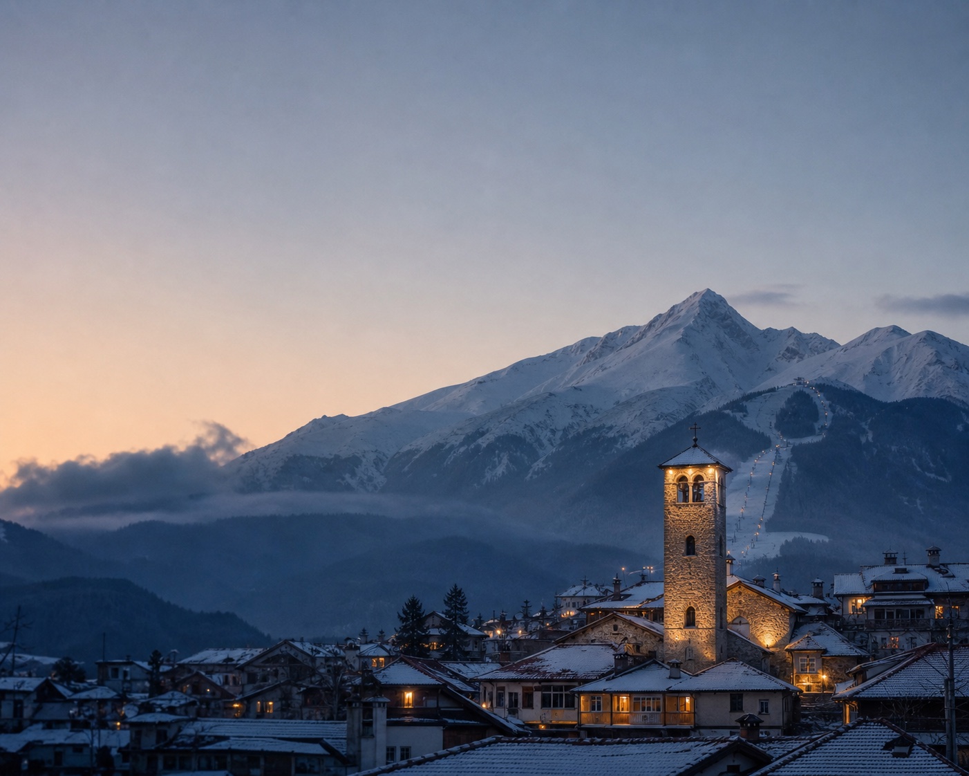
Bansko
Bulgaria · Part of Bulgaria
There is no current MTB score for Bansko. The forecast was last updated at 22:56 EEST on 15 October 2026.
Current forecast unavailable
The last update was 15 October 2026. The readings below are historical context. Current scores and session recommendations will return when fresh data is available.
Historical readings, awaiting a fresh forecast.
Elsewhere in Bulgaria
Scores for Bulgaria are awaiting today's update, so no ranking is shown.
See every Bulgaria resortPeakWave scores are planning signals, not safety clearance. Check local authorities, official bulletins and on-site conditions before you go. Read our editorial policy.
7-day trail forecast
Working in Bansko this season?
Create a free profile and let employers in Bansko find you.
Create Profile →Frequently asked questions
How often is this page updated?
Each location is refreshed every three hours. The 7-day forecast, luck factor and packing notes are computed from the same stored update.
What is the luck factor?
A score comparing how good MTB is likely to be this week at Bansko with the version-matched historical observations available for this time of year.
Where does the data come from?
Open-Meteo, a free open weather API that blends multiple national weather services plus an archive going back decades. The same data powers many outdoor apps.
Does a high score mean the MTB is good right now?
It means the weather data suggests good riding. Trail and bike park closures, lift opening and recent rain on the trails still matter. Check the local trail report before committing.
When is the best time for MTB at Bansko?
The typical MTB season at Bansko runs from 1 June to 31 October. Within that window, the best days are the ones PeakWave's 7-day forecast scores highest; scores are refreshed every three hours.
Data sources
PeakWave uses these free data sources. Thank you to these providers.
Weather and terrain
Snow station data
- WSL Institute for Snow and Avalanche Research SLF(CC BY 4.0)
- Avalanche.report (Euregio Tyrol, South Tyrol, Trentino) weather stations and their operators(CC BY 4.0)
- GeoSphere Austria(CC BY 4.0)
- USDA Natural Resources Conservation Service, National Water and Climate Center (SNOTEL, AWDB)(Public domain (US))
- Contains information licensed under the Open Government Licence - British Columbia (BC River Forecast Centre automated snow pillows, via NRCS AWDB)
- Source : Météo-France(Licence Ouverte / Etalab 2.0)
- Contains information licensed under the Open Government Licence - Canada (Environment and Climate Change Canada)
- Source: Japan Meteorological Agency website (AMeDAS), processed by PeakWave(JMA Public Data Licence 1.0)
- NOAA Regional Climate Centers, Applied Climate Information System (ACIS); NWS Cooperative Observer Program; Community Collaborative Rain, Hail and Snow Network (CoCoRaHS)(Public domain (US))
- Snow model data from NVE seNorge (Norwegian Water Resources and Energy Directorate), NLOD
Satellite snow cover, where used
- Contains modified Copernicus Sentinel data 2026
- Sentinel-2 L2A Cloud-Optimised GeoTIFFs via Element 84 Earth Search (Registry of Open Data on AWS)
- NASA GIBS (Global Imagery Browse Services), VIIRS NOAA-20 NDSI snow cover, part of NASA ESDIS
- Copernicus Land Monitoring Service HR-WSI (European Union), when configured