
Open ledger · AOD.US.WRIGHTSVILLE-BEACH.V00 · ORIGINALClose ledger · AOD.US.WRIGHTSVILLE-BEACH.V00
Ledger AOD.US.WRIGHTSVILLE-BEACH.V00
Lightbor
Lightbor. This photograph is used as a geographic witness to the place, not as evidence of the historical date shown in the chapter.
- Visual description
- Lightbor
- Nature
- original
- Medium
- Open-licence photograph
- Source
- Wikimedia Commons · CC BY-SA 4.0
BEFORE MODERN SPORT
Wrightsville Beach
How work, access and surfing shaped Wrightsville Beach.
Scroll to follow the shoreline through time
Wrightsville Beach is a town in New Hanover County, North Carolina, United States.
Sources for this chapter
1938
Work at the water’s edge
A second pier was constructed in 1938 by Floyd Cox and named the Mira Mar Fishing Pier.
Sources for this chapter
ACCESS CHANGES
The shore becomes reachable
The opening of a road all the way from the mainland to the beach, with a bridge over Banks Channel, allowed residents and visitors to access the town via road easily.
Open ledger · AOD.US.WRIGHTSVILLE-BEACH.V01 · ORIGINALClose ledger · AOD.US.WRIGHTSVILLE-BEACH.V01
Ledger AOD.US.WRIGHTSVILLE-BEACH.V01
Free-Ride
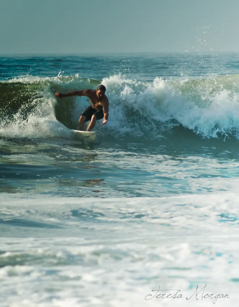
Great surfing day at Wrightsville Beach c/o Hurricane Bill. This photograph is used as a geographic witness to the place, not as evidence of the historical date shown in the chapter.
- Visual description
- Great surfing day at Wrightsville Beach c/o Hurricane Bill
- Nature
- original
- Medium
- Open-licence photograph
- Source
- Wikimedia Commons · CC BY-SA 2.0
1909
Surfing reads the same coast differently
Local tourism history traces documented surfing at Wrightsville Beach to 1909 and a community that first rode solid wooden boards.
THE LIVING MAP
The mapped place
Wrightsville Beach is recorded at 34.209° N, 77.797° W. A surf map fixes a name to one stretch of moving water, but the place changes with tide, swell direction, wind and the shape of the seabed.
Sources for this chapter
Open ledger · AOD.US.WRIGHTSVILLE-BEACH.V00 · ORIGINALClose ledger · AOD.US.WRIGHTSVILLE-BEACH.V00
Ledger AOD.US.WRIGHTSVILLE-BEACH.V00
Lightbor
Lightbor. This photograph is used as a geographic witness to the place, not as evidence of the historical date shown in the chapter.
- Visual description
- Lightbor
- Nature
- original
- Medium
- Open-licence photograph
- Source
- Wikimedia Commons · CC BY-SA 4.0
TODAY
Wrightsville Beach now
Wrightsville Beach still treats surfing as part of its local history, with the 1909 record marked publicly and the water used by new generations.
THE LEDGER
Sources and credits
This exhibition is built from local, institutional and sporting records. The source ledger keeps the claims visible and leaves space for correction as further local evidence emerges.
Sources for this chapter
Artefacts in order of appearance
Lightbor
AOD.US.WRIGHTSVILLE-BEACH.V00 · original · Wikimedia Commons · CC BY-SA 4.0
Free-Ride
AOD.US.WRIGHTSVILLE-BEACH.V01 · original · Wikimedia Commons · CC BY-SA 2.0
Editorial record
Full US Beta edition. Place evidence is adapted from the linked Wrightsville Beach, North Carolina overview under CC BY-SA 4.0 and remains subject to named historical and local review. Cartography is generated from the PeakWave location catalogue.