Open ledger · AOD.UK.WHITSTABLE.V00 · ORIGINALClose ledger · AOD.UK.WHITSTABLE.V00
Ledger AOD.UK.WHITSTABLE.V00
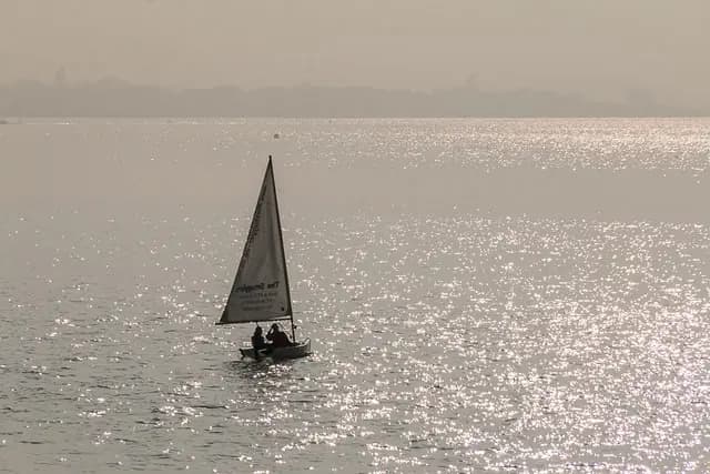
Sailing Dinghy, Whitstable, Kent
Sailing Dinghy, Whitstable, Kent. This photograph is used as a geographic witness to the place, not as evidence of the historical date shown in the chapter.
- Visual description
- Sailing Dinghy, Whitstable, Kent
- Nature
- original
- Medium
- Open-licence photograph
- Source
- Wikimedia Commons / Geograph · CC BY-SA 2.0
- Reviewed
- Josh Wildman
BEFORE THE CLUB
Whitstable
A Kent fishing town whose club tracked the changing shape of British small-boat sailing.
Scroll to read the water through time
Whitstable’s sailing water lies directly off a town shaped by fishing and coastal trade.
Launching from the beach keeps the sport visibly connected to the working shore.
Sources for this chapter
1902–1906
A club changes its name
Organised sailing began in 1902, the Kent Yacht Club was formalised in 1904 and renamed Whitstable Yacht Club in 1906.
The change placed the town, rather than the county, at the centre of the identity.
Sources for this chapter
1925–1947
Classes make regular racing possible
Class racing began in 1925 and dinghy participation grew in the 1930s.
The first post-war open meeting in 1947 connected local sailors to a wider national circuit.
Sources for this chapter
Open ledger · AOD.UK.WHITSTABLE.V01 · ORIGINALClose ledger · AOD.UK.WHITSTABLE.V01
Ledger AOD.UK.WHITSTABLE.V01
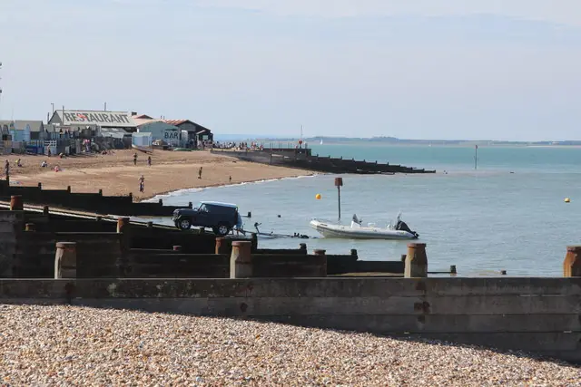
Slipway at Whitstable beach
Slipway at Whitstable beach. This photograph is used as a geographic witness to the place, not as evidence of the historical date shown in the chapter.
- Visual description
- Slipway at Whitstable beach
- Nature
- original
- Medium
- Open-licence photograph
- Source
- Wikimedia Commons / Geograph · CC BY-SA 2.0
- Reviewed
- Josh Wildman
1959
The world championship comes to Kent
Whitstable hosted the first Flying Dutchman world championship held in Britain in 1959.
Later the club also absorbed windsurfing, staging national competition in 1986.
Sources for this chapter
THE LIVING MAP
The mapped place
Whitstable is recorded at 51.370° N, 1.030° E as a coastal open venue. A course drawn here is temporary: wind, current, shore and marks determine the water that sailors actually meet.
Sources for this chapter
Open ledger · AOD.UK.WHITSTABLE.V00 · ORIGINALClose ledger · AOD.UK.WHITSTABLE.V00
Ledger AOD.UK.WHITSTABLE.V00
Sailing Dinghy, Whitstable, Kent
Sailing Dinghy, Whitstable, Kent. This photograph is used as a geographic witness to the place, not as evidence of the historical date shown in the chapter.
- Visual description
- Sailing Dinghy, Whitstable, Kent
- Nature
- original
- Medium
- Open-licence photograph
- Source
- Wikimedia Commons / Geograph · CC BY-SA 2.0
- Reviewed
- Josh Wildman
TODAY
A club still launched from the town
Whitstable continues to race from a compact seafront base.
Its history is a record of adaptation: new classes and equipment arrived, while volunteers, beach launching and local weather kept the place specific.
Sources for this chapter
THE LEDGER
Sources and credits
This exhibition is built from local, institutional and sporting records. The source ledger keeps the claims visible and leaves space for correction as further local evidence emerges.
Sources for this chapter
Artefacts in order of appearance
Sailing Dinghy, Whitstable, Kent
AOD.UK.WHITSTABLE.V00 · original · Wikimedia Commons / Geograph · CC BY-SA 2.0
Slipway at Whitstable beach
AOD.UK.WHITSTABLE.V01 · original · Wikimedia Commons / Geograph · CC BY-SA 2.0
Editorial record
Full UK edition. Historical claims are linked to the local, public and sporting records used to write the exhibition. Cartography is generated from the PeakWave location catalogue.