Open ledger · AOD.UK.WELSH-HARP.V00 · ORIGINALClose ledger · AOD.UK.WELSH-HARP.V00
Ledger AOD.UK.WELSH-HARP.V00
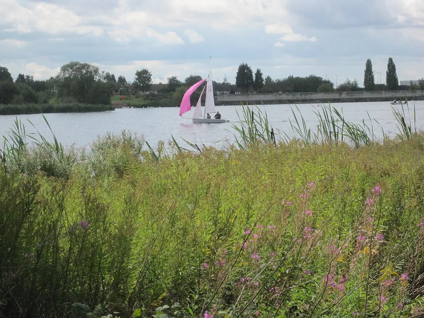
Sailing boat on Brent Reservoir from Welsh Harp Open Space
Sailing boats on Brent Reservoir from Welsh Harp Open Space, Brent, London. This photograph is used as a geographic witness to the place, not as evidence of the historical date shown in the chapter.
- Visual description
- Sailing boats on Brent Reservoir from Welsh Harp Open Space, Brent, London
- Nature
- original
- Medium
- Open-licence photograph
- Source
- Wikimedia Commons · CC BY-SA 3.0
- Reviewed
- Josh Wildman
THE BRENT RESERVOIR
Welsh Harp
A London reservoir where post-war clubs made room for sailing inside the city.
Scroll to read the water through time
The Welsh Harp is a reservoir embedded in north-west London.
Roads, housing and railway lines sit close to a waterbody that also became important habitat.
Sources for this chapter
1950
Nature and recreation overlap
The reservoir was designated a Site of Special Scientific Interest in 1950.
Sailing therefore developed on water already recognised as ecologically valuable, requiring recreation to coexist with conservation.
Sources for this chapter
AFTER 1945
Workplace clubs take to the water
Sailing expanded after the Second World War through company and local clubs.
Wembley Sailing Club formed in 1953, part of a wider effort to make small-boat sailing accessible in the capital.
Sources for this chapter
Open ledger · AOD.UK.WELSH-HARP.V01 · ORIGINALClose ledger · AOD.UK.WELSH-HARP.V01
Ledger AOD.UK.WELSH-HARP.V01
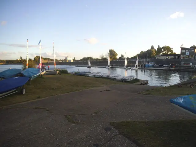
The Welsh Harp Sailing Club
The Welsh Harp Sailing Club. This photograph is used as a geographic witness to the place, not as evidence of the historical date shown in the chapter.
- Visual description
- The Welsh Harp Sailing Club
- Nature
- original
- Medium
- Open-licence photograph
- Source
- Wikimedia Commons / Geograph · CC BY-SA 2.0
- Reviewed
- Josh Wildman
LATE 20th CENTURY
A compact urban racecourse
The reservoir’s confined shape favoured dinghies and short tactical courses.
Shifting wind from the surrounding urban landscape became a defining skill rather than an inconvenience.
Sources for this chapter
THE LIVING MAP
The mapped place
Welsh Harp is recorded at 51.570° N, 0.220° W as an inland venue. A course drawn here is temporary: wind, current, shore and marks determine the water that sailors actually meet.
Sources for this chapter
Open ledger · AOD.UK.WELSH-HARP.V00 · ORIGINALClose ledger · AOD.UK.WELSH-HARP.V00
Ledger AOD.UK.WELSH-HARP.V00
Sailing boat on Brent Reservoir from Welsh Harp Open Space
Sailing boats on Brent Reservoir from Welsh Harp Open Space, Brent, London. This photograph is used as a geographic witness to the place, not as evidence of the historical date shown in the chapter.
- Visual description
- Sailing boats on Brent Reservoir from Welsh Harp Open Space, Brent, London
- Nature
- original
- Medium
- Open-licence photograph
- Source
- Wikimedia Commons · CC BY-SA 3.0
- Reviewed
- Josh Wildman
TODAY
Sailing survives in the city
The Welsh Harp remains an unusual London sailing place, sustained by clubs, volunteers and shared management.
Its importance is the continued existence of a navigable outdoor commons within dense urban life.
Sources for this chapter
THE LEDGER
Sources and credits
This exhibition is built from local, institutional and sporting records. The source ledger keeps the claims visible and leaves space for correction as further local evidence emerges.
Sources for this chapter
Artefacts in order of appearance
Sailing boat on Brent Reservoir from Welsh Harp Open Space
AOD.UK.WELSH-HARP.V00 · original · Wikimedia Commons · CC BY-SA 3.0
The Welsh Harp Sailing Club
AOD.UK.WELSH-HARP.V01 · original · Wikimedia Commons / Geograph · CC BY-SA 2.0
Editorial record
Full UK edition. Historical claims are linked to the local, public and sporting records used to write the exhibition. Cartography is generated from the PeakWave location catalogue.