Open ledger · AOD.UK.WATERGATE-BAY.V00 · ORIGINALClose ledger · AOD.UK.WATERGATE-BAY.V00
Ledger AOD.UK.WATERGATE-BAY.V00
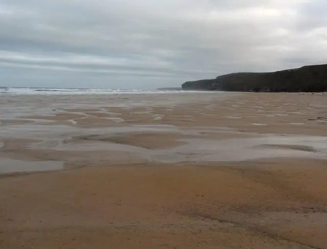
Watergate Beach - Early Morning - Low Tide
Watergate Beach - Early Morning - Low Tide. This photograph is used as a geographic witness to the place, not as evidence of the historical date shown in the chapter.
- Visual description
- Watergate Beach - Early Morning - Low Tide
- Nature
- original
- Medium
- Open-licence photograph
- Source
- Wikimedia Commons / Geograph · CC BY-SA 2.0
- Reviewed
- Josh Wildman
THE TIDAL BAY
Watergate Bay
A broad tidal beach that became a testing ground for British competition surfing.
Scroll to follow the shoreline through time
Watergate is a long beach below high cliffs north of Newquay.
It remains surfable through much of the tide, but shelter, exposure and available sand change markedly as the water rises.
Sources for this chapter
BEFORE THE SURF CENTRE
The bay stayed outside the harbour town
For much of its history Watergate was a rural beach beyond Newquay’s harbour and town industries.
Its scale mattered to farming and coastal access before it became an organised sporting site.
Sources for this chapter
THE FIRST MODERN SURFERS
Boards made distance from town less important
Cars, wetsuits and locally made boards let surfers compare Watergate with Fistral and the rest of the Newquay coast in one session.
Bob Head was among the pioneers shaping and riding boards at the bay in the 1960s.
Open ledger · AOD.UK.WATERGATE-BAY.V01 · ORIGINALClose ledger · AOD.UK.WATERGATE-BAY.V01
Ledger AOD.UK.WATERGATE-BAY.V01
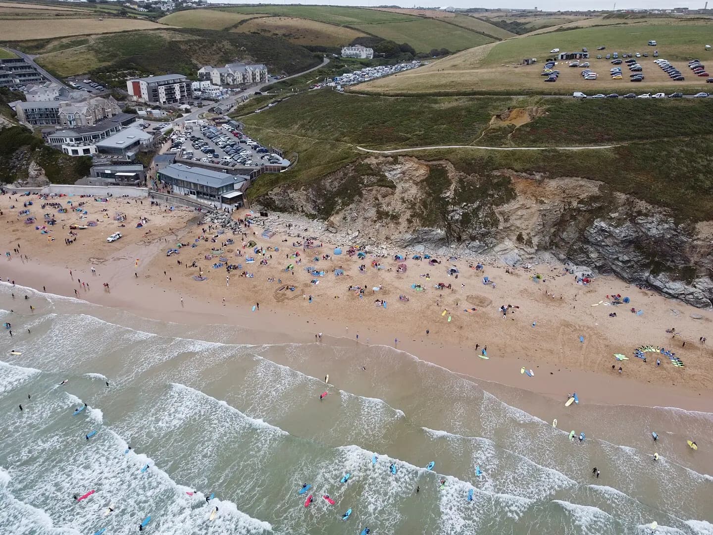
Busy Watergate Bay Beach Newquay Cornwall by Kernow Skies
Busy Watergate Bay Beach Newquay Cornwall by Kernow Skies. This photograph is used as a geographic witness to the place, not as evidence of the historical date shown in the chapter.
- Visual description
- Busy Watergate Bay Beach Newquay Cornwall by Kernow Skies
- Nature
- original
- Medium
- Open-licence photograph
- Source
- Wikimedia Commons · CC BY-SA 3.0
- Reviewed
- Josh Wildman
THE COMPETITION YEARS
The beach became a national course
Watergate’s broad viewing area and adaptable banks made it suitable for organised competition.
It now hosts English national championship surfing and has served as a stop on the UK professional tour.
Sources for this chapter
THE LIVING MAP
The mapped place
Watergate Bay is recorded at 50.445° N, 5.043° W. A surf map fixes a name to one stretch of moving water, but the place changes with tide, swell direction, wind and the shape of the seabed.
Sources for this chapter
Open ledger · AOD.UK.WATERGATE-BAY.V00 · ORIGINALClose ledger · AOD.UK.WATERGATE-BAY.V00
Ledger AOD.UK.WATERGATE-BAY.V00
Watergate Beach - Early Morning - Low Tide
Watergate Beach - Early Morning - Low Tide. This photograph is used as a geographic witness to the place, not as evidence of the historical date shown in the chapter.
- Visual description
- Watergate Beach - Early Morning - Low Tide
- Nature
- original
- Medium
- Open-licence photograph
- Source
- Wikimedia Commons / Geograph · CC BY-SA 2.0
- Reviewed
- Josh Wildman
TODAY
A year-round surf beach with an events calendar
Watergate now combines lessons, free surfing and national events.
Its value as a venue still depends on ordinary coastal variables: sandbank, tide, swell direction and the shelter provided by the cliffs.
Sources for this chapter
THE LEDGER
Sources and credits
This exhibition is built from local, institutional and sporting records. The source ledger keeps the claims visible and leaves space for correction as further local evidence emerges.
Sources for this chapter
Artefacts in order of appearance
Watergate Beach - Early Morning - Low Tide
AOD.UK.WATERGATE-BAY.V00 · original · Wikimedia Commons / Geograph · CC BY-SA 2.0
Busy Watergate Bay Beach Newquay Cornwall by Kernow Skies
AOD.UK.WATERGATE-BAY.V01 · original · Wikimedia Commons · CC BY-SA 3.0
Editorial record
Full UK edition. Historical claims are linked to the local, public and sporting records used to write the exhibition. Cartography is generated from the PeakWave location catalogue.