Open ledger · AOD.EU.VILLARS.V00 · ORIGINALClose ledger · AOD.EU.VILLARS.V00
Ledger AOD.EU.VILLARS.V00
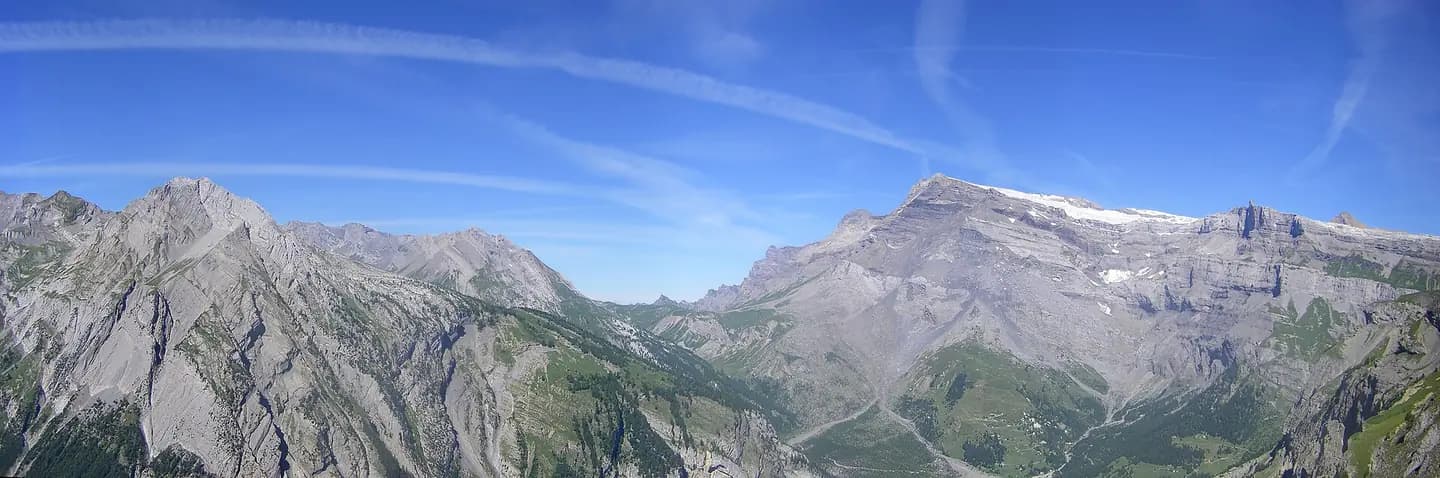
Cirque de Derborence
Cirque de Derborence. This photograph is used as a geographic witness to the place, not as evidence of the historical date shown in the chapter.
- Visual description
- Cirque de Derborence
- Nature
- original
- Medium
- Open-licence photograph
- Source
- Wikimedia Commons · CC BY 3.0
BEFORE MODERN SPORT
Villars-Gryon
How settlement, access and winter sport shaped Villars-Gryon.
Scroll to read the contour through time
Gryon is a municipality of the canton of Vaud in Switzerland, located in the district of Aigle.
Sources for this chapter
1875
Work and settlement beneath the snowline
In 1875, he published his work "Sentiers de Montagne", leaving a lasting mark on the history of Gryon through his contributions to the commune.
Sources for this chapter
1857
A route reaches Villars-Gryon
A motorable road was inaugurated in 1857, while the rack railway (Bex-Gryon-Villars-Chesières (BGVC)) opened in 1900.
Sources for this chapter
Open ledger · AOD.EU.VILLARS.V01 · ORIGINALClose ledger · AOD.EU.VILLARS.V01
Ledger AOD.EU.VILLARS.V01
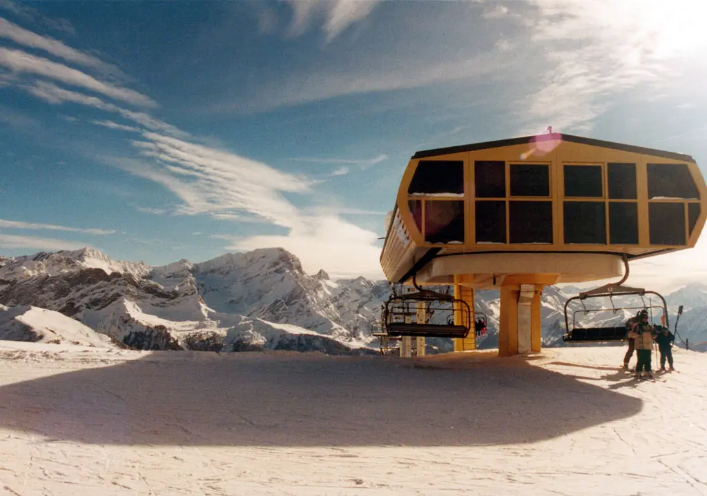
ChauxRonde
Ski lift at Chaux Ronde in the Villars-sur-Ollon village, Ollon, Vaud, Switzerland 2002. This photograph is used as a geographic witness to the place, not as evidence of the historical date shown in the chapter.
- Visual description
- Ski lift at Chaux Ronde in the Villars-sur-Ollon village, Ollon, Vaud, Switzerland 2002
- Nature
- original
- Medium
- Open-licence photograph
- Source
- Wikimedia Commons · CC BY-SA 2.0
1956
Winter becomes organised
In 1956, the gondola lift linking Gryon to les Chaux was realised, which was soon followed by a construction boom in the ski area.
Sources for this chapter
THE LIVING MAP
The mapped place
Villars-Gryon is recorded at 46.303° N, 7.058° E. Its catalogue reference reaches 2,120 metres. A modern resort map compresses terrain, exposure and access into a diagram. This exhibition keeps the underlying contour visible so the place does not become only a list of facilities.
Sources for this chapter
Open ledger · AOD.EU.VILLARS.V00 · ORIGINALClose ledger · AOD.EU.VILLARS.V00
Ledger AOD.EU.VILLARS.V00
Cirque de Derborence
Cirque de Derborence. This photograph is used as a geographic witness to the place, not as evidence of the historical date shown in the chapter.
- Visual description
- Cirque de Derborence
- Nature
- original
- Medium
- Open-licence photograph
- Source
- Wikimedia Commons · CC BY 3.0
TODAY
Villars-Gryon now
The historical population is given in the following chart: In the 2007 federal election the most popular party was the SVP which received 23% of the vote.
Sources for this chapter
THE LEDGER
Sources and credits
This exhibition is built from local, institutional and sporting records. The source ledger keeps the claims visible and leaves space for correction as further local evidence emerges.
Sources for this chapter
Artefacts in order of appearance
Cirque de Derborence
AOD.EU.VILLARS.V00 · original · Wikimedia Commons · CC BY 3.0
ChauxRonde
AOD.EU.VILLARS.V01 · original · Wikimedia Commons · CC BY-SA 2.0
Editorial record
Full European Beta edition. Place evidence is adapted from the linked Gryon overview under CC BY-SA 4.0 and remains subject to named historical and local review. Cartography is generated from the PeakWave location catalogue.