Open ledger · AOD.EU.VERBIER.V00 · ORIGINALClose ledger · AOD.EU.VERBIER.V00
Ledger AOD.EU.VERBIER.V00
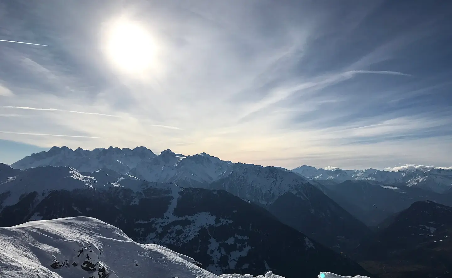
Mountains around Verbier
Looking West on the ski slopes into the Verbier valley during winter, with the mountains all around. This photograph is used as a geographic witness to the place, not as evidence of the historical date shown in the chapter.
- Visual description
- Looking West on the ski slopes into the Verbier valley during winter, with the mountains all around
- Nature
- original
- Medium
- Open-licence photograph
- Source
- Wikimedia Commons · CC BY-SA 4.0
BEFORE MODERN SPORT
Verbier
How settlement, access and winter sport shaped Verbier.
Scroll to read the contour through time
Verbier is a village located in south-western Switzerland in the canton of Valais.
Sources for this chapter
2010
Work and settlement beneath the snowline
In September 2010, the Verbier campus of St. George's (now called Verbier International School), a private international school, was founded and opened its doors in the Chalet Mascotte at the entrance of the village.
Sources for this chapter
ACCESS CHANGES
A route reaches Verbier
From Sembrancher (near Le Châble) a road leads to the Great St. Bernard Pass and another to Martigny or to the Col de la Forclaz.
Sources for this chapter
Open ledger · AOD.EU.VERBIER.V01 · ORIGINALClose ledger · AOD.EU.VERBIER.V01
Ledger AOD.EU.VERBIER.V01
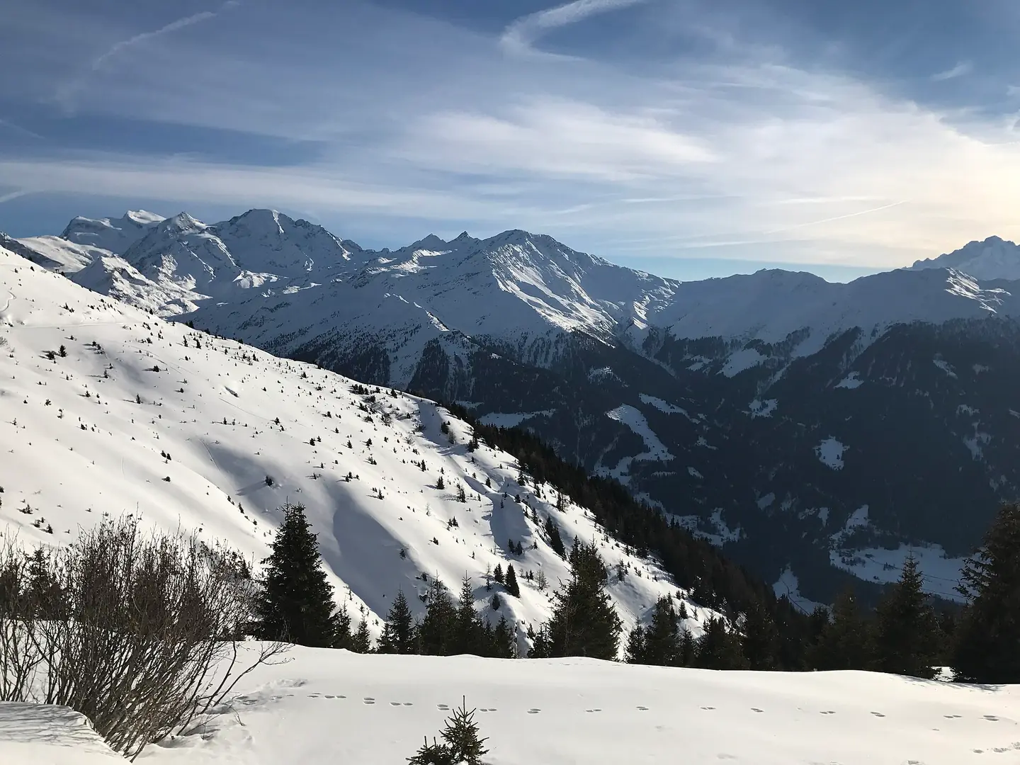
Ski Slopes of Verbier
Footprints in snow in the foreground, with pristine snow and mountains in the background. Facing Southwest during winter. This photograph is used as a geographic witness to the place, not as evidence of the historical date shown in the chapter.
- Visual description
- Footprints in snow in the foreground, with pristine snow and mountains in the background. Facing Southwest during winter
- Nature
- original
- Medium
- Open-licence photograph
- Source
- Wikimedia Commons · CC BY-SA 4.0
ORGANISED SPORT
Winter becomes organised
It is a holiday resort and ski area in the Swiss Alps and is recognised as one of the premier off-piste resorts in the world.
Sources for this chapter
THE LIVING MAP
The mapped place
Verbier is recorded at 46.096° N, 7.229° E. Its catalogue reference reaches 3,330 metres. A modern resort map compresses terrain, exposure and access into a diagram. This exhibition keeps the underlying contour visible so the place does not become only a list of facilities.
Sources for this chapter
Open ledger · AOD.EU.VERBIER.V00 · ORIGINALClose ledger · AOD.EU.VERBIER.V00
Ledger AOD.EU.VERBIER.V00
Mountains around Verbier
Looking West on the ski slopes into the Verbier valley during winter, with the mountains all around. This photograph is used as a geographic witness to the place, not as evidence of the historical date shown in the chapter.
- Visual description
- Looking West on the ski slopes into the Verbier valley during winter, with the mountains all around
- Nature
- original
- Medium
- Open-licence photograph
- Source
- Wikimedia Commons · CC BY-SA 4.0
TODAY
Verbier now
On rare occasions, it is also possible to ski 700 vertical metres from Verbier (1500 m) to Le Châble (800 m) in the valley below, though such a run now entails going through terrain with felled trees and other obstacles.
Sources for this chapter
THE LEDGER
Sources and credits
This exhibition is built from local, institutional and sporting records. The source ledger keeps the claims visible and leaves space for correction as further local evidence emerges.
Sources for this chapter
Artefacts in order of appearance
Mountains around Verbier
AOD.EU.VERBIER.V00 · original · Wikimedia Commons · CC BY-SA 4.0
Ski Slopes of Verbier
AOD.EU.VERBIER.V01 · original · Wikimedia Commons · CC BY-SA 4.0
Editorial record
Full European Beta edition. Place evidence is adapted from the linked Verbier overview under CC BY-SA 4.0 and remains subject to named historical and local review. Cartography is generated from the PeakWave location catalogue.