Open ledger · AOD.EU.VAL-THORENS.V00 · ORIGINALClose ledger · AOD.EU.VAL-THORENS.V00
Ledger AOD.EU.VAL-THORENS.V00
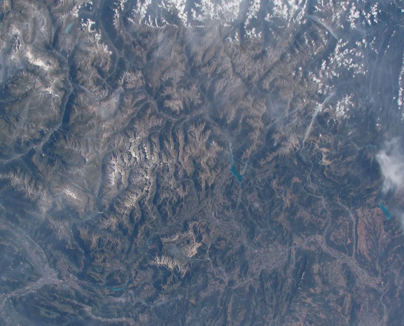
ISS048-E-71193 - View of France - Maritime Alps - Grenoble - Dauphiné Alps - Cottian Alps - Lac de Serre-Ponçon - Durance - Lac de Sainte-Croix - Plateau de Valensole
View of France taken during ISS Expedition 48. French Alps , Grenoble , Dauphiné Alps, Cottian Alps, lake Lac de Serre-Ponçon , Maritime Alps , river Durance , Lac de Sainte-Croix , Plateau de Valensole. This photograph is used as a geographic witness to the place, not as evidence of the historical date shown in the chapter.
- Visual description
- View of France taken during ISS Expedition 48. French Alps , Grenoble , Dauphiné Alps, Cottian Alps, lake Lac de Serre-Ponçon , Maritime Alps , river Durance , Lac de Sainte-Croix , Plateau de Valensole
- Nature
- original
- Medium
- Open-licence photograph
- Source
- Wikimedia Commons · Public domain
BEFORE MODERN SPORT
Val Thorens
How settlement, access and winter sport shaped Val Thorens.
Scroll to read the contour through time
Val Thorens ( ) is a ski town in the Tarentaise Valley in the French Alps at an altitude of 2,300 m (7,500 ft).
Sources for this chapter
BEFORE TOURISM
Work and settlement beneath the snowline
Nelson Rodríguez of Colombia won the stage, which had the second highest elevation for a stage finish in the history of the Tour de France.
Sources for this chapter
ACCESS CHANGES
A route reaches Val Thorens
Val Thorens has 31 lifts, which include magic carpets, draglifts, chairlifts, gondolas, funitels, and a cable car.
Sources for this chapter
Open ledger · AOD.EU.VAL-THORENS.V01 · ORIGINALClose ledger · AOD.EU.VAL-THORENS.V01
Ledger AOD.EU.VAL-THORENS.V01
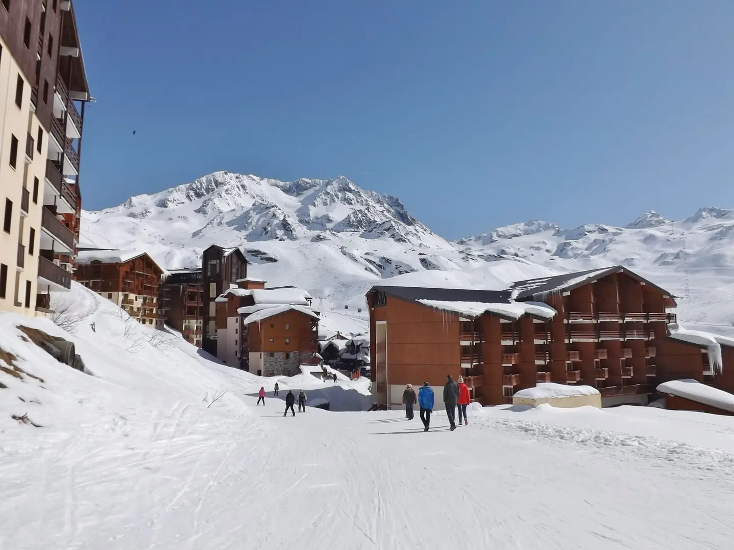
Ski à Val Thorens
Sight of a street also ski slope along Val Thorens ski resort village, in Savoie , France. This photograph is used as a geographic witness to the place, not as evidence of the historical date shown in the chapter.
- Visual description
- Sight of a street also ski slope along Val Thorens ski resort village, in Savoie , France
- Nature
- original
- Medium
- Open-licence photograph
- Source
- Wikimedia Commons · CC BY-SA 3.0
ORGANISED SPORT
Winter becomes organised
The resort forms part of the Les Trois Vallées ski area which, with over 600 km of slopes, is one of the largest linked ski areas in the world.
Sources for this chapter
THE LIVING MAP
The mapped place
Val Thorens is recorded at 45.298° N, 6.584° E. Its catalogue reference reaches 3,230 metres. A modern resort map compresses terrain, exposure and access into a diagram. This exhibition keeps the underlying contour visible so the place does not become only a list of facilities.
Sources for this chapter
Open ledger · AOD.EU.VAL-THORENS.V00 · ORIGINALClose ledger · AOD.EU.VAL-THORENS.V00
Ledger AOD.EU.VAL-THORENS.V00
ISS048-E-71193 - View of France - Maritime Alps - Grenoble - Dauphiné Alps - Cottian Alps - Lac de Serre-Ponçon - Durance - Lac de Sainte-Croix - Plateau de Valensole
View of France taken during ISS Expedition 48. French Alps , Grenoble , Dauphiné Alps, Cottian Alps, lake Lac de Serre-Ponçon , Maritime Alps , river Durance , Lac de Sainte-Croix , Plateau de Valensole. This photograph is used as a geographic witness to the place, not as evidence of the historical date shown in the chapter.
- Visual description
- View of France taken during ISS Expedition 48. French Alps , Grenoble , Dauphiné Alps, Cottian Alps, lake Lac de Serre-Ponçon , Maritime Alps , river Durance , Lac de Sainte-Croix , Plateau de Valensole
- Nature
- original
- Medium
- Open-licence photograph
- Source
- Wikimedia Commons · Public domain
TODAY
Val Thorens now
List of highest towns by country List of ski areas and resorts in Europe Official Val Thorens website
Sources for this chapter
THE LEDGER
Sources and credits
This exhibition is built from local, institutional and sporting records. The source ledger keeps the claims visible and leaves space for correction as further local evidence emerges.
Sources for this chapter
Artefacts in order of appearance
ISS048-E-71193 - View of France - Maritime Alps - Grenoble - Dauphiné Alps - Cottian Alps - Lac de Serre-Ponçon - Durance - Lac de Sainte-Croix - Plateau de Valensole
AOD.EU.VAL-THORENS.V00 · original · Wikimedia Commons · Public domain
Ski à Val Thorens
AOD.EU.VAL-THORENS.V01 · original · Wikimedia Commons · CC BY-SA 3.0
Editorial record
Full European Beta edition. Place evidence is adapted from the linked Val Thorens overview under CC BY-SA 4.0 and remains subject to named historical and local review. Cartography is generated from the PeakWave location catalogue.