Open ledger · AOD.US.TRESTLES.V00 · ORIGINALClose ledger · AOD.US.TRESTLES.V00
Ledger AOD.US.TRESTLES.V00
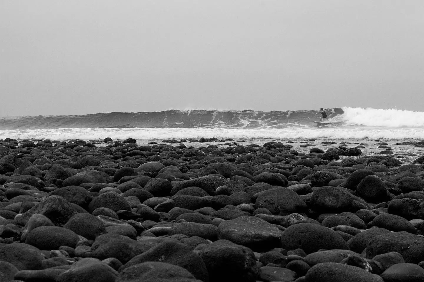
Distant surfer watched from the rocks
Trestles Beach, United States. This photograph is used as a geographic witness to the place, not as evidence of the historical date shown in the chapter.
- Visual description
- Trestles Beach, United States
- Nature
- original
- Medium
- Open-licence photograph
- Source
- Wikimedia Commons · CC0
BEFORE MODERN SPORT
Trestles
How work, access and surfing shaped Trestles.
Scroll to follow the shoreline through time
Trestles is a collection of surfing spots between northern San Onofre State Beach in San Diego County and southern San Clemente in Orange County in California.
Sources for this chapter
BEFORE TOURISM
Work at the water’s edge
Panhe, within the wider San Mateo landscape, is an ancient Acjachemen village and remains a sacred and cultural site.
Sources for this chapter
ACCESS CHANGES
The shore becomes reachable
Trestles has two major access points: Visitors can park and walk down an asphalt trail to Trestles from the trailhead at Cristianitos Road, near where Cristianitos crosses over the San Diego Freeway.
Open ledger · AOD.US.TRESTLES.V01 · ORIGINALClose ledger · AOD.US.TRESTLES.V01
Ledger AOD.US.TRESTLES.V01
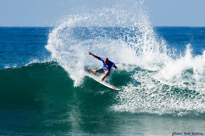
KellySlater byRobKeaton
Kelly Slater surfing in the Boost Mobile Pro event at Lower Trestles, CA in 2006. This photograph is used as a geographic witness to the place, not as evidence of the historical date shown in the chapter.
- Visual description
- Kelly Slater surfing in the Boost Mobile Pro event at Lower Trestles, CA in 2006
- Nature
- original
- Medium
- Open-licence photograph
- Source
- Wikimedia Commons · CC BY-SA 3.0
ORGANISED SPORT
Surfing reads the same coast differently
Trestles became a collective name for several breaks around San Mateo Point.
Its railway bridge and walk-in access helped fix that name in surf culture.
THE LIVING MAP
The mapped place
Trestles is recorded at 33.384° N, 117.589° W. A surf map fixes a name to one stretch of moving water, but the place changes with tide, swell direction, wind and the shape of the seabed.
Sources for this chapter
Open ledger · AOD.US.TRESTLES.V00 · ORIGINALClose ledger · AOD.US.TRESTLES.V00
Ledger AOD.US.TRESTLES.V00
Distant surfer watched from the rocks
Trestles Beach, United States. This photograph is used as a geographic witness to the place, not as evidence of the historical date shown in the chapter.
- Visual description
- Trestles Beach, United States
- Nature
- original
- Medium
- Open-licence photograph
- Source
- Wikimedia Commons · CC0
TODAY
Trestles now
Trestles remains both an internationally used surf coast and part of an Acjachemen cultural landscape.
Its walk-in character limits the break’s separation from the land around it.
THE LEDGER
Sources and credits
This exhibition is built from local, institutional and sporting records. The source ledger keeps the claims visible and leaves space for correction as further local evidence emerges.
Sources for this chapter
Artefacts in order of appearance
Distant surfer watched from the rocks
AOD.US.TRESTLES.V00 · original · Wikimedia Commons · CC0
KellySlater byRobKeaton
AOD.US.TRESTLES.V01 · original · Wikimedia Commons · CC BY-SA 3.0
Editorial record
Full US Beta edition. Place evidence is adapted from the linked Trestles (surfing) overview under CC BY-SA 4.0 and remains subject to named historical and local review. Cartography is generated from the PeakWave location catalogue.