Open ledger · AOD.UK.THURSO-EAST.V00 · ORIGINALClose ledger · AOD.UK.THURSO-EAST.V00
Ledger AOD.UK.THURSO-EAST.V00
Surf in Thurso East
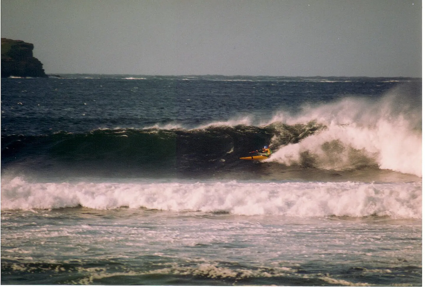
Kayak Surf on Thurso East. This photograph is used as a geographic witness to the place, not as evidence of the historical date shown in the chapter.
- Visual description
- Kayak Surf on Thurso East
- Nature
- original
- Medium
- Open-licence photograph
- Source
- Wikimedia Commons · CC0
- Reviewed
- Josh Wildman
THE NORTH SHORE
Thurso East
A Caithness reef that moved Scottish surfing onto the international stage.
Scroll to follow the shoreline through time
Thurso East breaks over a rock shelf just east of the River Thurso.
Atlantic swell bends onto the reef, creating a powerful right-hand wave within sight of the town.
Sources for this chapter
BEFORE SURFING
Caithness already faced rough water
Fishing, harbours and coastal travel had long required close attention to the Pentland Firth and North Atlantic.
Surfing added a new purpose to established cold-water knowledge.
Sources for this chapter
1973–1981
The championships move north
The first Scottish Championships were held near Thurso in 1973.
From 1976, the national event rotated through Thurso, Fraserburgh and Pease Bay, bringing Scotland’s early surf community together.
Sources for this chapter
Open ledger · AOD.UK.THURSO-EAST.V01 · ORIGINALClose ledger · AOD.UK.THURSO-EAST.V01
Ledger AOD.UK.THURSO-EAST.V01
Gate lodge, Thurso East
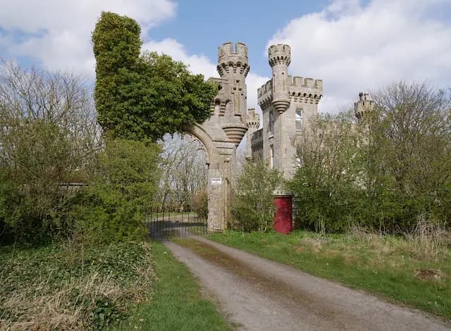
Gate lodge, Thurso East. This photograph is used as a geographic witness to the place, not as evidence of the historical date shown in the chapter.
- Visual description
- Gate lodge, Thurso East
- Nature
- original
- Medium
- Open-licence photograph
- Source
- Wikimedia Commons / Geograph · CC BY-SA 2.0
- Reviewed
- Josh Wildman
2006–2011
The Coldwater Classic
An international qualifying event began at Thurso East in 2006 and evolved into the Coldwater Classic.
Images of the reef carried Caithness far beyond the Scottish circuit.
Sources for this chapter
THE LIVING MAP
The mapped place
Thurso East is recorded at 58.592° N, 3.506° W. A surf map fixes a name to one stretch of moving water, but the place changes with tide, swell direction, wind and the shape of the seabed.
Sources for this chapter
Open ledger · AOD.UK.THURSO-EAST.V00 · ORIGINALClose ledger · AOD.UK.THURSO-EAST.V00
Ledger AOD.UK.THURSO-EAST.V00
Surf in Thurso East
Kayak Surf on Thurso East. This photograph is used as a geographic witness to the place, not as evidence of the historical date shown in the chapter.
- Visual description
- Kayak Surf on Thurso East
- Nature
- original
- Medium
- Open-licence photograph
- Source
- Wikimedia Commons · CC0
- Reviewed
- Josh Wildman
TODAY
A famous wave in an ordinary town
Thurso East remains a national championship venue and a local break.
Its most useful legacy is the proof that high-level surfing can grow from a remote cold-water community without turning the place into a tropical imitation.
Sources for this chapter
THE LEDGER
Sources and credits
This exhibition is built from local, institutional and sporting records. The source ledger keeps the claims visible and leaves space for correction as further local evidence emerges.
Sources for this chapter
Artefacts in order of appearance
Surf in Thurso East
AOD.UK.THURSO-EAST.V00 · original · Wikimedia Commons · CC0
Gate lodge, Thurso East
AOD.UK.THURSO-EAST.V01 · original · Wikimedia Commons / Geograph · CC BY-SA 2.0
Editorial record
Full UK edition. Historical claims are linked to the local, public and sporting records used to write the exhibition. Cartography is generated from the PeakWave location catalogue.