Open ledger · AOD.UK.THE-LECHT.V00 · ORIGINALClose ledger · AOD.UK.THE-LECHT.V00
Ledger AOD.UK.THE-LECHT.V00
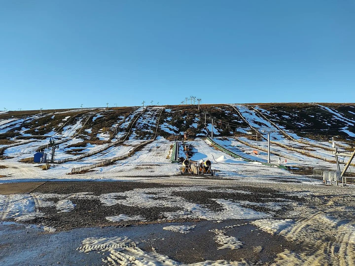
Lecht Ski Centre lacking snow 2021
Lecht Ski Centre lacking snow 2021. This photograph is used as a geographic witness to the place, not as evidence of the historical date shown in the chapter.
- Visual description
- Lecht Ski Centre lacking snow 2021
- Nature
- original
- Medium
- Open-licence photograph
- Source
- Wikimedia Commons · CC BY-SA 3.0
- Reviewed
- Josh Wildman
THE HIGH ROAD
The Lecht
A high pass where mining, road travel and community skiing meet.
Scroll to read the contour through time
The Lecht sits beside one of Scotland’s highest main roads, between Tomintoul and Strathdon.
The pass makes the slopes unusually immediate, while drifting snow can make the same road the centre’s greatest constraint.
18th CENTURY–1847
Before skiing, there was manganese
The nearby Lecht Mine was worked in the eighteenth century and reopened from 1841 to 1847.
Its surviving 1842 crushing mill records an earlier attempt to draw value from this exposed landscape.
Sources for this chapter
1977
A centre forms beside the road
The operating company was formed in 1977.
With the car park and beginner slopes close to the pass, The Lecht developed around direct access rather than a valley village or mountain railway.
Sources for this chapter
Open ledger · AOD.UK.THE-LECHT.V01 · ORIGINALClose ledger · AOD.UK.THE-LECHT.V01
Ledger AOD.UK.THE-LECHT.V01
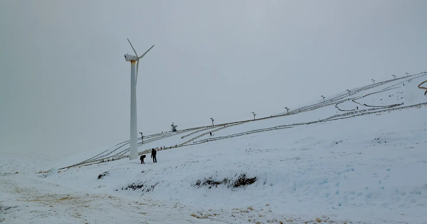
2020-03-01 Lecht Ski Center windmill
Plenty Snow but quiet on the slopes considering the Lack of Snow for last few Months to Ski on. This photograph is used as a geographic witness to the place, not as evidence of the historical date shown in the chapter.
- Visual description
- Plenty Snow but quiet on the slopes considering the Lack of Snow for last few Months to Ski on
- Nature
- original
- Medium
- Open-licence photograph
- Source
- Wikimedia Commons · CC BY 2.0
- Reviewed
- Josh Wildman
FROM 1977
Small slopes, deliberate progression
The centre’s identity grew around approachable uplift and short, visible slopes.
That made it especially useful for learning, while the open pass could still deliver demanding weather.
Sources for this chapter
THE LIVING MAP
The mapped place
The Lecht is recorded at 57.181° N, 3.357° W. Its catalogue reference reaches 793 metres. A modern resort map compresses terrain, exposure and access into a diagram. This exhibition keeps the underlying contour visible so the place does not become only a list of facilities.
Sources for this chapter
Open ledger · AOD.UK.THE-LECHT.V00 · ORIGINALClose ledger · AOD.UK.THE-LECHT.V00
Ledger AOD.UK.THE-LECHT.V00
Lecht Ski Centre lacking snow 2021
Lecht Ski Centre lacking snow 2021. This photograph is used as a geographic witness to the place, not as evidence of the historical date shown in the chapter.
- Visual description
- Lecht Ski Centre lacking snow 2021
- Nature
- original
- Medium
- Open-licence photograph
- Source
- Wikimedia Commons · CC BY-SA 3.0
- Reviewed
- Josh Wildman
TODAY
A community-scale snow centre
The Lecht remains a compact Scottish ski area whose value is measured in access, learning and local use.
Its future is tied to careful operation in a place where the road, wind and snow are inseparable.
THE LEDGER
Sources and credits
This exhibition is built from local, institutional and sporting records. The source ledger keeps the claims visible and leaves space for correction as further local evidence emerges.
Sources for this chapter
Artefacts in order of appearance
Lecht Ski Centre lacking snow 2021
AOD.UK.THE-LECHT.V00 · original · Wikimedia Commons · CC BY-SA 3.0
2020-03-01 Lecht Ski Center windmill
AOD.UK.THE-LECHT.V01 · original · Wikimedia Commons · CC BY 2.0
Editorial record
Full UK edition. Historical claims are linked to the local, public and sporting records used to write the exhibition. Cartography is generated from the PeakWave location catalogue.