Open ledger · AOD.US.STEAMBOAT.V00 · ORIGINALClose ledger · AOD.US.STEAMBOAT.V00
Ledger AOD.US.STEAMBOAT.V00
Steamboat Springs downtown
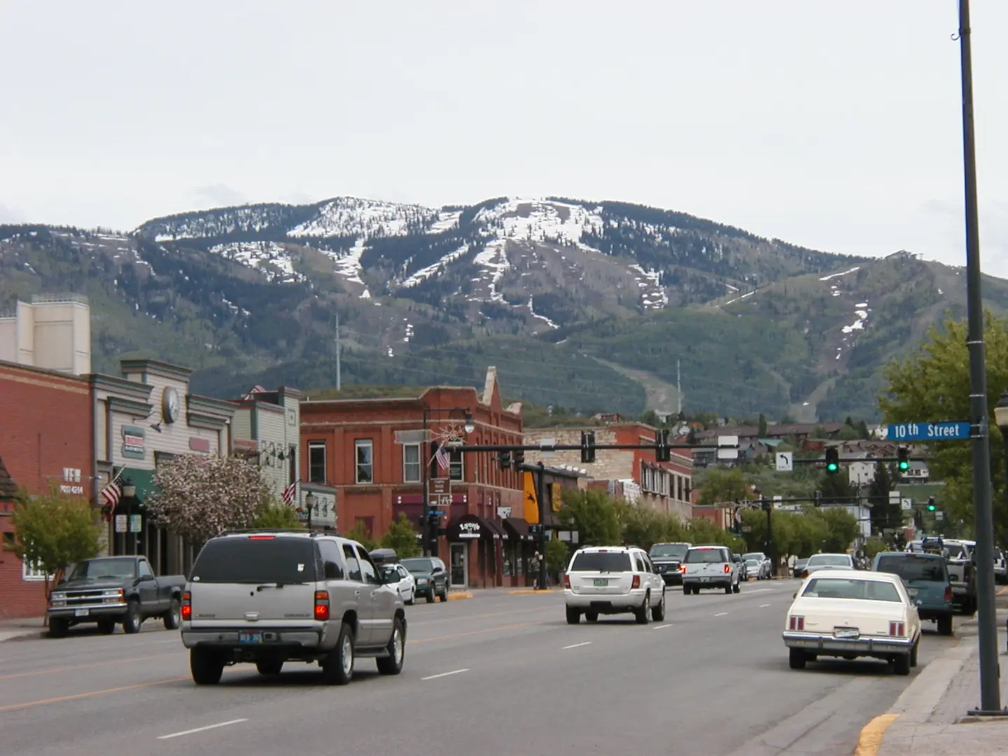
Downtown Steamboat Springs at the end of May; the mountain has still large patches of snow; original title: "Downtown Steamboat Springs", original description: "There's still snow on the mountain at the end of May". This photograph is used as a geographic witness to the place, not as evidence of the historical date shown in the chapter.
- Visual description
- Downtown Steamboat Springs at the end of May; the mountain has still large patches of snow; original title: "Downtown Steamboat Springs", original description: "There's still snow on the mountain at the end of May"
- Nature
- original
- Medium
- Open-licence photograph
- Source
- Wikimedia Commons · CC BY 2.0
BEFORE MODERN SPORT
Steamboat
How settlement, access and winter sport shaped Steamboat.
Scroll to read the contour through time
Steamboat Springs is a home rule municipality that is the county seat of and the most populous municipality in Routt County, Colorado, United States.
Sources for this chapter
1934
Work and settlement beneath the snowline
Historic buildings in Steamboat Springs include: Christian Science Society, at 7th and Oak, was built of logs in 1934 and is now listed on the National Register of Historic Places.
Sources for this chapter
1873
A route reaches Steamboat
Milestones in the development of the pioneer town included the first sawmill in 1873, incorporation of the town in 1900, and the arrival of the railroad in 1909.
Open ledger · AOD.US.STEAMBOAT.V01 · ORIGINALClose ledger · AOD.US.STEAMBOAT.V01
Ledger AOD.US.STEAMBOAT.V01
Steamboat Ski Resort ski lift 2010
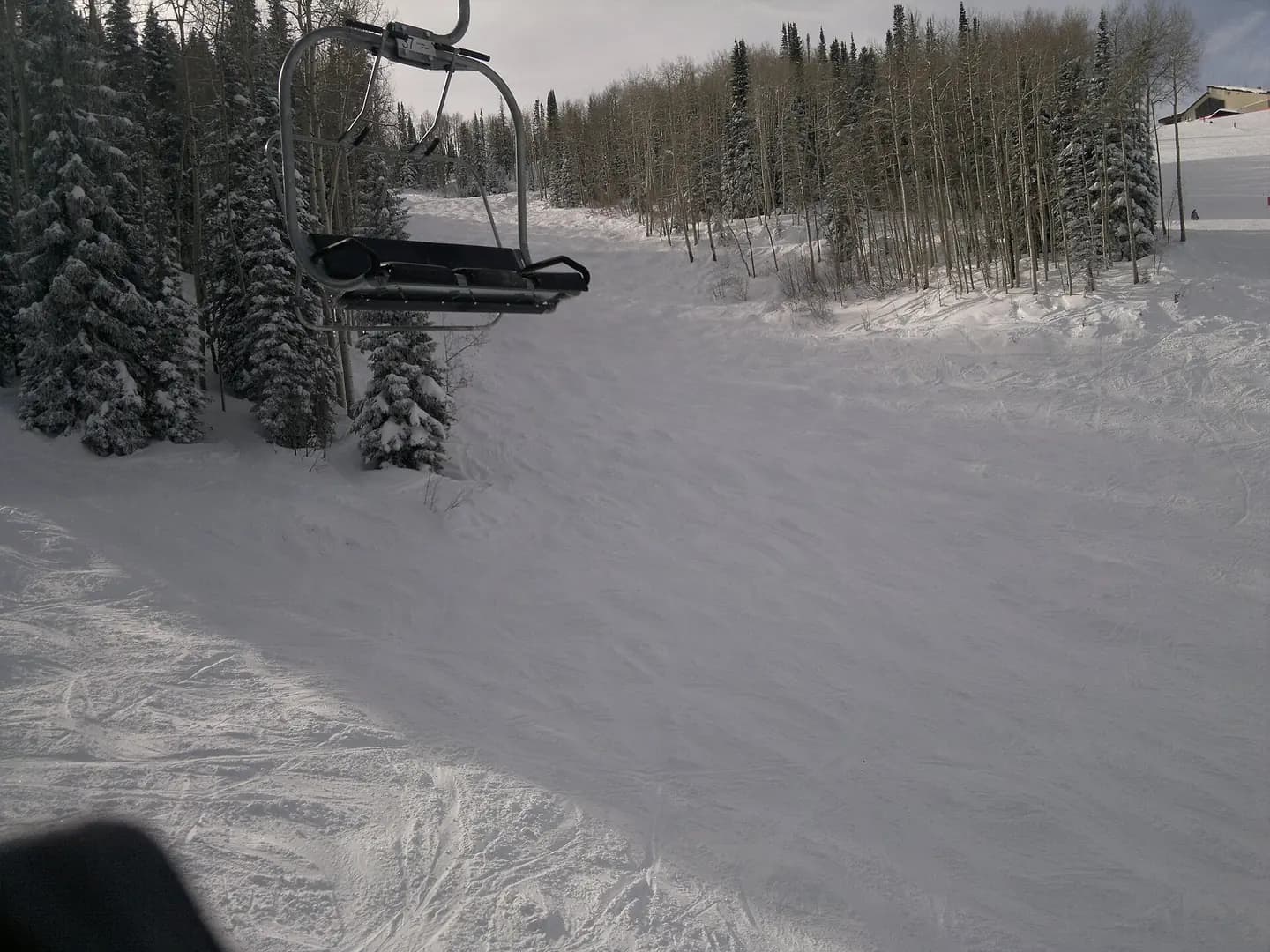
Late Afernoon starts to set in. This photograph is used as a geographic witness to the place, not as evidence of the historical date shown in the chapter.
- Visual description
- Late Afernoon starts to set in
- Nature
- original
- Medium
- Open-licence photograph
- Source
- Wikimedia Commons · CC BY-SA 2.0
1963
Winter becomes organised
Originally named Storm Mountain ski area, it opened on January 12, 1963.
THE LIVING MAP
The mapped place
Steamboat is recorded at 40.457° N, 106.804° W. Its catalogue reference reaches 3,221 metres. A modern resort map compresses terrain, exposure and access into a diagram. This exhibition keeps the underlying contour visible so the place does not become only a list of facilities.
Sources for this chapter
Open ledger · AOD.US.STEAMBOAT.V00 · ORIGINALClose ledger · AOD.US.STEAMBOAT.V00
Ledger AOD.US.STEAMBOAT.V00
Steamboat Springs downtown
Downtown Steamboat Springs at the end of May; the mountain has still large patches of snow; original title: "Downtown Steamboat Springs", original description: "There's still snow on the mountain at the end of May". This photograph is used as a geographic witness to the place, not as evidence of the historical date shown in the chapter.
- Visual description
- Downtown Steamboat Springs at the end of May; the mountain has still large patches of snow; original title: "Downtown Steamboat Springs", original description: "There's still snow on the mountain at the end of May"
- Nature
- original
- Medium
- Open-licence photograph
- Source
- Wikimedia Commons · CC BY 2.0
TODAY
Steamboat now
The oldest continually operating ski area in North America, Howelsen Hill, now bears his name and is one of just three complete ski jumping complexes in the United States.
THE LEDGER
Sources and credits
This exhibition is built from local, institutional and sporting records. The source ledger keeps the claims visible and leaves space for correction as further local evidence emerges.
Sources for this chapter
Artefacts in order of appearance
Steamboat Springs downtown
AOD.US.STEAMBOAT.V00 · original · Wikimedia Commons · CC BY 2.0
Steamboat Ski Resort ski lift 2010
AOD.US.STEAMBOAT.V01 · original · Wikimedia Commons · CC BY-SA 2.0
Editorial record
Full US Beta edition. Place evidence is adapted from the linked Steamboat Springs, Colorado overview under CC BY-SA 4.0 and remains subject to named historical and local review. Cartography is generated from the PeakWave location catalogue.