
Open ledger · AOD.EU.SPINDLERUV-MLYN.V00 · ORIGINALClose ledger · AOD.EU.SPINDLERUV-MLYN.V00
Ledger AOD.EU.SPINDLERUV-MLYN.V00
Spindelmuhl, Riesengebirge, Germany (i.e.,Špindlerův Mlýn, Czech Republic) WDL2642
Spindelmuhl, Riesengebirge, Germany (i.e.,Špindlerův Mlýn, Czech Republic) WDL2642. This photograph is used as a geographic witness to the place, not as evidence of the historical date shown in the chapter.
- Visual description
- Spindelmuhl, Riesengebirge, Germany (i.e.,Špindlerův Mlýn, Czech Republic) WDL2642
- Nature
- original
- Medium
- Open-licence photograph
- Source
- Wikimedia Commons · Public domain
BEFORE MODERN SPORT
Špindlerův Mlýn
How settlement, access and winter sport shaped Špindlerův Mlýn.
Scroll to read the contour through time
Špindlerův Mlýn is a town in Trutnov District in the Hradec Králové Region of the Czech Republic.
Sources for this chapter
1828
Work and settlement beneath the snowline
Jan Nepomuk František Count of Harrach (1828–1909) established a tourist route leading through Špindlerův Mlýn and established the first nature reserve in the Giant Mountains, located in the valley Labský důl on an area of more than 60 ha (150 acres).
Sources for this chapter
1872
A route reaches Špindlerův Mlýn
The construction of the road from Vrchlabí in 1872 significantly contributed to the greater number of tourists.
Sources for this chapter
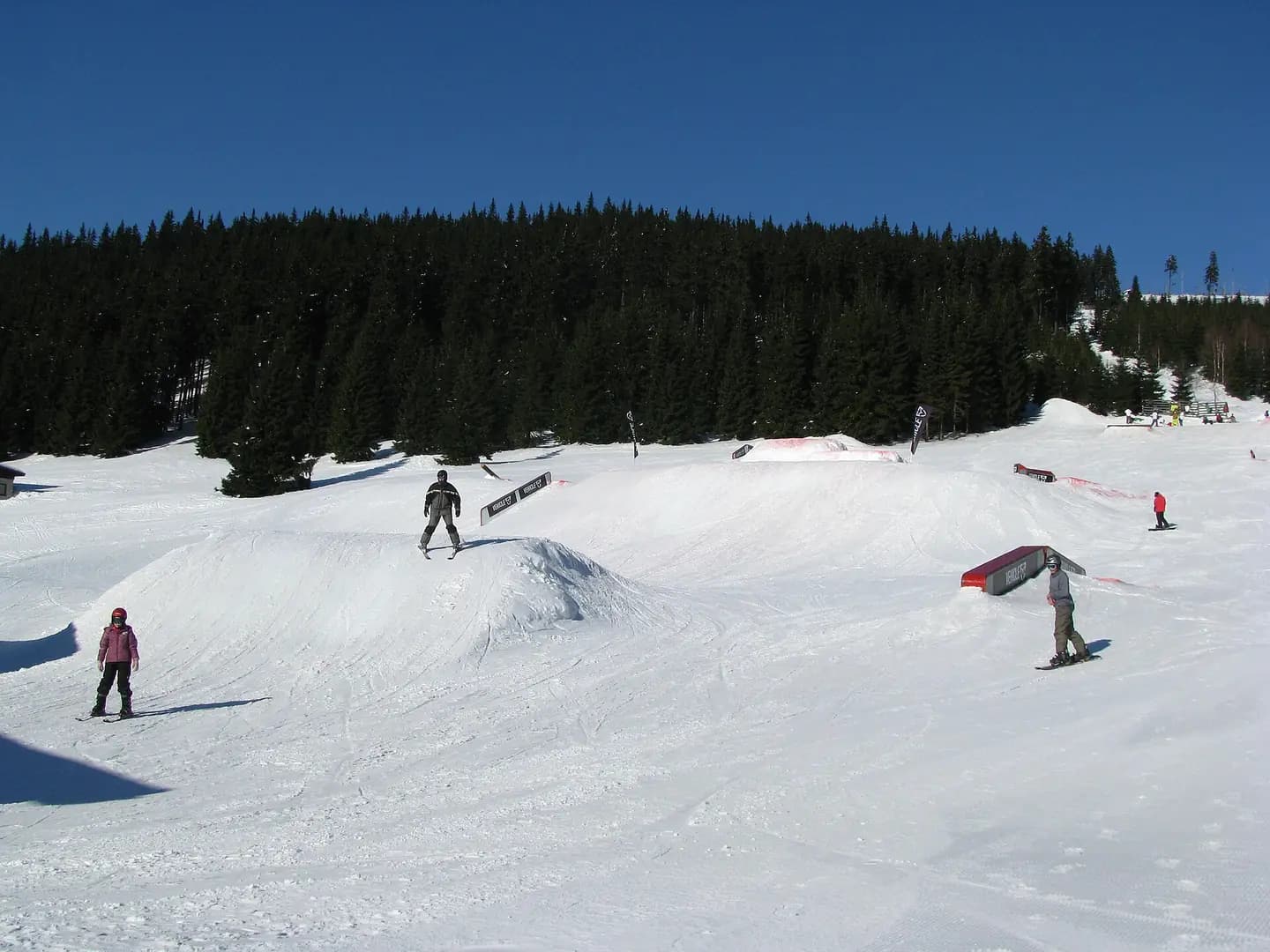
Open ledger · AOD.EU.SPINDLERUV-MLYN.V01 · ORIGINALClose ledger · AOD.EU.SPINDLERUV-MLYN.V01
Ledger AOD.EU.SPINDLERUV-MLYN.V01
Spindle park
Ski resort Špindlerův Mlýn in Krkonoše (Snowpark Horní Mísečky). This photograph is used as a geographic witness to the place, not as evidence of the historical date shown in the chapter.
- Visual description
- Ski resort Špindlerův Mlýn in Krkonoše (Snowpark Horní Mísečky)
- Nature
- original
- Medium
- Open-licence photograph
- Source
- Wikimedia Commons · Public domain
1909
Winter becomes organised
In 1909, operation of the electric lift for sledges, one of the first of its kind in Europe, started, which contributed to the reputation of the winter tourist resort.
Sources for this chapter
THE LIVING MAP
The mapped place
Špindlerův Mlýn is recorded at 50.729° N, 15.608° E. Its catalogue reference reaches 1,310 metres. A modern resort map compresses terrain, exposure and access into a diagram. This exhibition keeps the underlying contour visible so the place does not become only a list of facilities.
Sources for this chapter
Open ledger · AOD.EU.SPINDLERUV-MLYN.V00 · ORIGINALClose ledger · AOD.EU.SPINDLERUV-MLYN.V00
Ledger AOD.EU.SPINDLERUV-MLYN.V00
Spindelmuhl, Riesengebirge, Germany (i.e.,Špindlerův Mlýn, Czech Republic) WDL2642
Spindelmuhl, Riesengebirge, Germany (i.e.,Špindlerův Mlýn, Czech Republic) WDL2642. This photograph is used as a geographic witness to the place, not as evidence of the historical date shown in the chapter.
- Visual description
- Spindelmuhl, Riesengebirge, Germany (i.e.,Špindlerův Mlýn, Czech Republic) WDL2642
- Nature
- original
- Medium
- Open-licence photograph
- Source
- Wikimedia Commons · Public domain
TODAY
Špindlerův Mlýn now
With year-round use and with accommodation capacity of 10,000 beds, Špindlerův Mlýn is one of the most visited ski resorts in the country.
Sources for this chapter
THE LEDGER
Sources and credits
This exhibition is built from local, institutional and sporting records. The source ledger keeps the claims visible and leaves space for correction as further local evidence emerges.
Sources for this chapter
Artefacts in order of appearance
Spindelmuhl, Riesengebirge, Germany (i.e.,Špindlerův Mlýn, Czech Republic) WDL2642
AOD.EU.SPINDLERUV-MLYN.V00 · original · Wikimedia Commons · Public domain
Spindle park
AOD.EU.SPINDLERUV-MLYN.V01 · original · Wikimedia Commons · Public domain
Editorial record
Full European Beta edition. Place evidence is adapted from the linked Špindlerův Mlýn overview under CC BY-SA 4.0 and remains subject to named historical and local review. Cartography is generated from the PeakWave location catalogue.