Open ledger · AOD.US.SANTA-CRUZ.V00 · ORIGINALClose ledger · AOD.US.SANTA-CRUZ.V00
Ledger AOD.US.SANTA-CRUZ.V00
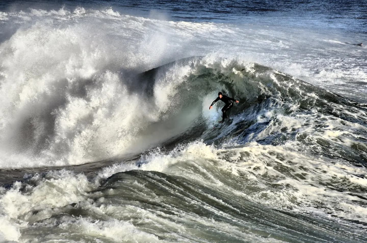
Surfer in Santa cruz 11-8-9 -1
A California surfer. Santa Cruz and the surrounding Northern California coastline is a popular surfing destination; however, the year-round low temperature of the ocean in that region (averaging 57ºF/14ºC) necessitates the use of wetsuits. This photograph is used as a geographic witness to the place, not as evidence of the historical date shown in the chapter.
- Visual description
- A California surfer. Santa Cruz and the surrounding Northern California coastline is a popular surfing destination; however, the year-round low temperature of the ocean in that region (averaging 57ºF/14ºC) necessitates the use of wetsuits
- Nature
- original
- Medium
- Open-licence photograph
- Source
- Wikimedia Commons · CC BY-SA 3.0
BEFORE MODERN SPORT
Santa Cruz
How work, access and surfing shaped Santa Cruz.
Scroll to follow the shoreline through time
Santa Cruz is the largest city in and the county seat of Santa Cruz County, California, United States.
Sources for this chapter
1797
Work at the water’s edge
In 1797, Governor Diego de Borica, by order of the Viceroy of New Spain, Miguel de la Grúa Talamanca y Branciforte, marqués de Branciforte, established the Villa de Branciforte, a town named in honour of the Viceroy.
Sources for this chapter
1880
The shore becomes reachable
The completion of the South Pacific Coast Railroad in 1880 and the creation of the Santa Cruz Beach Boardwalk in 1904 solidified the city's status as a seaside resort community, while the establishment of the University of California, Santa Cruz in 1965 made Santa Cruz a college town.
Open ledger · AOD.US.SANTA-CRUZ.V01 · ORIGINALClose ledger · AOD.US.SANTA-CRUZ.V01
Ledger AOD.US.SANTA-CRUZ.V01
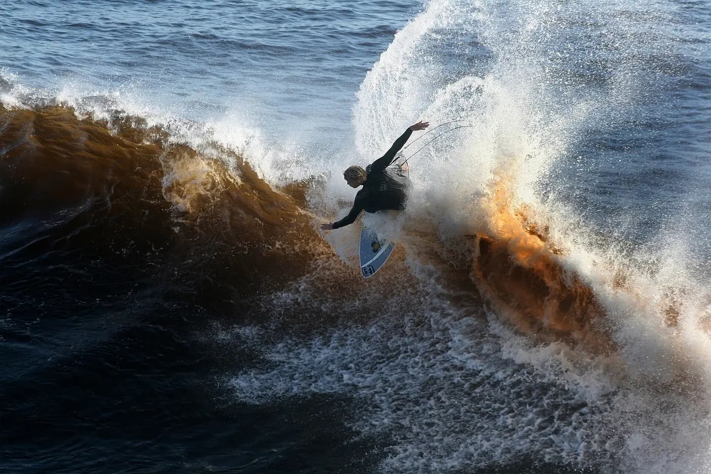
A surfer at the wave
A California surfer. Santa Cruz and the surrounding Northern California coastline is a popular surfing destination; however, the year-round low temperature of the ocean in that region (averaging 57ºF/14ºC) necessitates the use of wetsuits. This photograph is used as a geographic witness to the place, not as evidence of the historical date shown in the chapter.
- Visual description
- A California surfer. Santa Cruz and the surrounding Northern California coastline is a popular surfing destination; however, the year-round low temperature of the ocean in that region (averaging 57ºF/14ºC) necessitates the use of wetsuits
- Nature
- original
- Medium
- Open-licence photograph
- Source
- Wikimedia Commons · CC BY-SA 4.0
1986
Surfing reads the same coast differently
The Santa Cruz Surfing Museum is a museum which was established in May 1986 to document the history of surfing.
THE LIVING MAP
The mapped place
Santa Cruz is recorded at 36.952° N, 122.026° W. A surf map fixes a name to one stretch of moving water, but the place changes with tide, swell direction, wind and the shape of the seabed.
Sources for this chapter
Open ledger · AOD.US.SANTA-CRUZ.V00 · ORIGINALClose ledger · AOD.US.SANTA-CRUZ.V00
Ledger AOD.US.SANTA-CRUZ.V00
Surfer in Santa cruz 11-8-9 -1
A California surfer. Santa Cruz and the surrounding Northern California coastline is a popular surfing destination; however, the year-round low temperature of the ocean in that region (averaging 57ºF/14ºC) necessitates the use of wetsuits. This photograph is used as a geographic witness to the place, not as evidence of the historical date shown in the chapter.
- Visual description
- A California surfer. Santa Cruz and the surrounding Northern California coastline is a popular surfing destination; however, the year-round low temperature of the ocean in that region (averaging 57ºF/14ºC) necessitates the use of wetsuits
- Nature
- original
- Medium
- Open-licence photograph
- Source
- Wikimedia Commons · CC BY-SA 3.0
TODAY
Santa Cruz now
The O'Neill Cold Water Classic is annual surfing event that draws crowds at the popular Steamer Lane.
THE LEDGER
Sources and credits
This exhibition is built from local, institutional and sporting records. The source ledger keeps the claims visible and leaves space for correction as further local evidence emerges.
Sources for this chapter
Artefacts in order of appearance
Surfer in Santa cruz 11-8-9 -1
AOD.US.SANTA-CRUZ.V00 · original · Wikimedia Commons · CC BY-SA 3.0
A surfer at the wave
AOD.US.SANTA-CRUZ.V01 · original · Wikimedia Commons · CC BY-SA 4.0
Editorial record
Full US Beta edition. Place evidence is adapted from the linked Santa Cruz, California overview under CC BY-SA 4.0 and remains subject to named historical and local review. Cartography is generated from the PeakWave location catalogue.