Open ledger · AOD.UK.RUTLAND-WATER.V00 · ORIGINALClose ledger · AOD.UK.RUTLAND-WATER.V00
Ledger AOD.UK.RUTLAND-WATER.V00
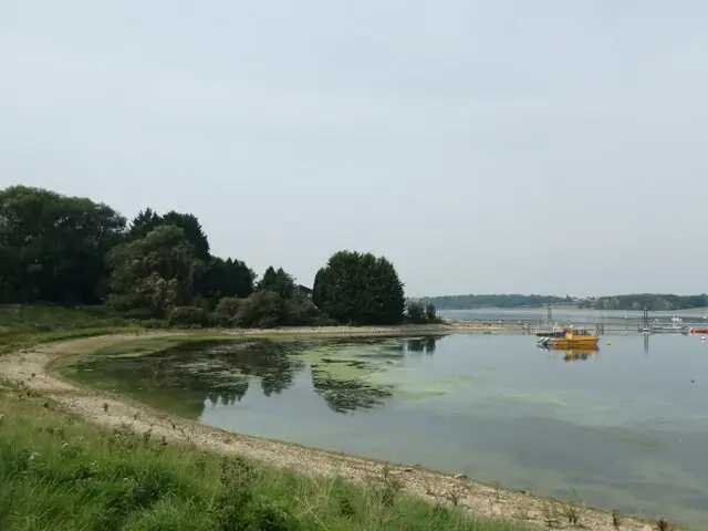
A bay in Rutland Water
A bay in Rutland Water. This photograph is used as a geographic witness to the place, not as evidence of the historical date shown in the chapter.
- Visual description
- A bay in Rutland Water
- Nature
- original
- Medium
- Open-licence photograph
- Source
- Wikimedia Commons / Geograph · CC BY-SA 2.0
- Reviewed
- Josh Wildman
BEFORE THE RESERVOIR
Rutland Water
A county landscape transformed by a reservoir, with sailors waiting before the water arrived.
Scroll to read the water through time
Rutland Water occupies a valley that held farms, roads and settlements.
The reservoir’s construction altered not only the view but the routes and memories of the county.
Sources for this chapter
PLANNING–FILLING
A public argument over water
The Empingham reservoir project brought land purchase, construction and local opposition before the basin filled.
The resulting lake cannot be separated from the communities asked to make room for it.
Sources for this chapter
1969
The club forms before the water
Rutland Sailing Club formed in summer 1969, years before it could launch.
Members planned fleets and facilities for a shoreline that still existed mainly on engineering drawings.
Sources for this chapter
Open ledger · AOD.UK.RUTLAND-WATER.V01 · ORIGINALClose ledger · AOD.UK.RUTLAND-WATER.V01
Ledger AOD.UK.RUTLAND-WATER.V01
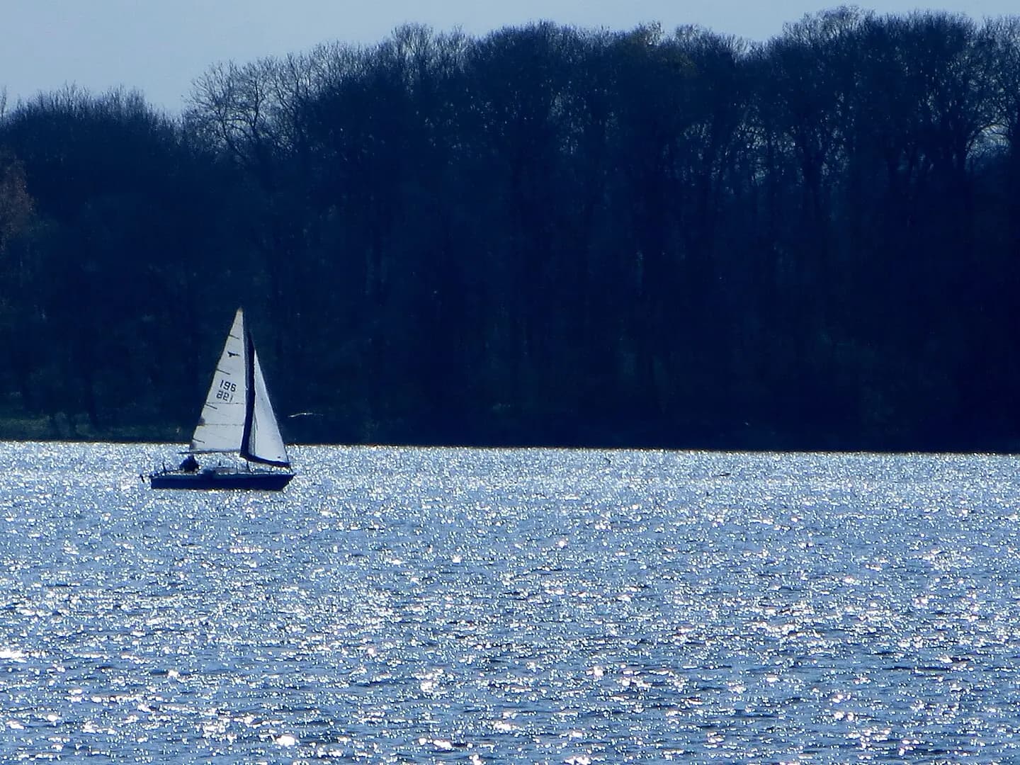
Sailing on Rutland Water - April 2014 - panoramio
Sailing on Rutland Water - April 2014. This photograph is used as a geographic witness to the place, not as evidence of the historical date shown in the chapter.
- Visual description
- Sailing on Rutland Water - April 2014
- Nature
- original
- Medium
- Open-licence photograph
- Source
- Wikimedia Commons · CC BY-SA 3.0
- Reviewed
- Josh Wildman
31 MAY 1975
The first sail
Sailing began on 31 May 1975.
The large new water quickly made possible long courses, major class events and a kind of inland sailing closer in scale to an estuary than a small club pond.
Sources for this chapter
THE LIVING MAP
The mapped place
Rutland Water is recorded at 52.640° N, 0.640° W as an inland venue. A course drawn here is temporary: wind, current, shore and marks determine the water that sailors actually meet.
Sources for this chapter
Open ledger · AOD.UK.RUTLAND-WATER.V00 · ORIGINALClose ledger · AOD.UK.RUTLAND-WATER.V00
Ledger AOD.UK.RUTLAND-WATER.V00
A bay in Rutland Water
A bay in Rutland Water. This photograph is used as a geographic witness to the place, not as evidence of the historical date shown in the chapter.
- Visual description
- A bay in Rutland Water
- Nature
- original
- Medium
- Open-licence photograph
- Source
- Wikimedia Commons / Geograph · CC BY-SA 2.0
- Reviewed
- Josh Wildman
TODAY
A reservoir with several public lives
Rutland Water is now water infrastructure, wildlife habitat, visitor landscape and sailing venue at once.
The club’s history keeps the extraordinary transition from valley to racecourse within living memory.
THE LEDGER
Sources and credits
This exhibition is built from local, institutional and sporting records. The source ledger keeps the claims visible and leaves space for correction as further local evidence emerges.
Sources for this chapter
Artefacts in order of appearance
A bay in Rutland Water
AOD.UK.RUTLAND-WATER.V00 · original · Wikimedia Commons / Geograph · CC BY-SA 2.0
Sailing on Rutland Water - April 2014 - panoramio
AOD.UK.RUTLAND-WATER.V01 · original · Wikimedia Commons · CC BY-SA 3.0
Editorial record
Full UK edition. Historical claims are linked to the local, public and sporting records used to write the exhibition. Cartography is generated from the PeakWave location catalogue.