Open ledger · AOD.UK.POLZEATH.V00 · ORIGINALClose ledger · AOD.UK.POLZEATH.V00
Ledger AOD.UK.POLZEATH.V00
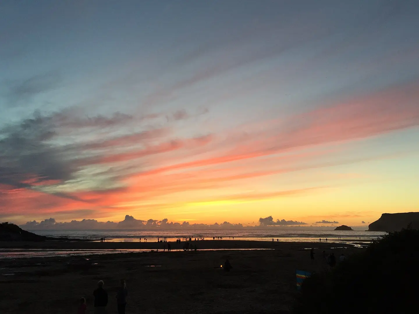
A Cornish Sunset
A sunset on Polzeath Beach. This photograph is used as a geographic witness to the place, not as evidence of the historical date shown in the chapter.
- Visual description
- A sunset on Polzeath Beach
- Nature
- original
- Medium
- Open-licence photograph
- Source
- Wikimedia Commons · CC BY-SA 4.0
- Reviewed
- Josh Wildman
PENTIRE HEADLAND
Polzeath
A surf village overlooked by four thousand years of settlement and a worked headland.
Scroll to follow the shoreline through time
Polzeath faces Atlantic swell beside Pentire Head, which guards the entrance to the Camel estuary.
The headland’s geology includes volcanic rocks formed hundreds of millions of years ago.
Sources for this chapter
FROM ABOUT 4000 BC
People occupied the headland for millennia
Evidence of human activity on Pentire reaches back to about 4000 BC.
The Rumps later carried an Iron Age defended settlement, while farms divided much of the headland in the historic period.
Sources for this chapter
1580–1914
Mining and tourism opened different routes
Silver and lead were mined on Pentire between about 1580 and 1883.
As mining declined, tourism and literary interest grew; tracks, later roads and the coast path connected Polzeath to a headland once crossed mainly for work.
Sources for this chapter
Open ledger · AOD.UK.POLZEATH.V01 · ORIGINALClose ledger · AOD.UK.POLZEATH.V01
Ledger AOD.UK.POLZEATH.V01
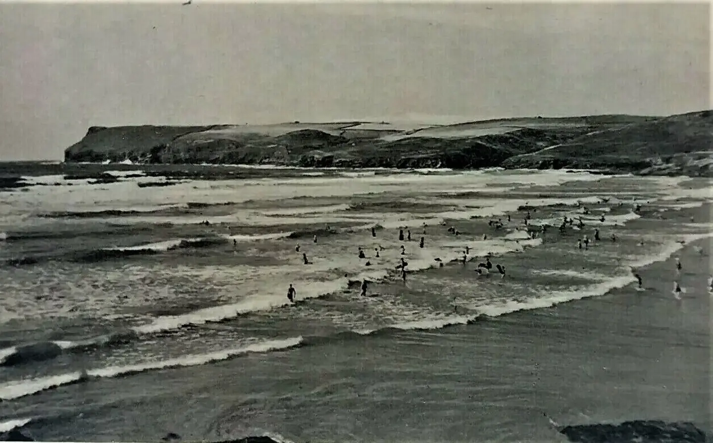
Old Vintage Postcard Surfing at Polzeath Beach Cornwall (50627542871)
Old Vintage Postcard Surfing at Polzeath Beach Cornwall. This photograph is used as a geographic witness to the place, not as evidence of the historical date shown in the chapter.
- Visual description
- Old Vintage Postcard Surfing at Polzeath Beach Cornwall
- Nature
- original
- Medium
- Open-licence photograph
- Source
- Wikimedia Commons · Public domain
- Reviewed
- Josh Wildman
THE SURF YEARS
The bay became a social surf beach
Polzeath’s accessible beachbreak made it a prominent place to learn, hire equipment and join a visible surf community.
Its sporting identity grew within the wider Cornish expansion of fibreglass boards and wetsuits.
Sources for this chapter
THE LIVING MAP
The mapped place
Polzeath is recorded at 50.573° N, 4.913° W. A surf map fixes a name to one stretch of moving water, but the place changes with tide, swell direction, wind and the shape of the seabed.
Sources for this chapter
Open ledger · AOD.UK.POLZEATH.V00 · ORIGINALClose ledger · AOD.UK.POLZEATH.V00
Ledger AOD.UK.POLZEATH.V00
A Cornish Sunset
A sunset on Polzeath Beach. This photograph is used as a geographic witness to the place, not as evidence of the historical date shown in the chapter.
- Visual description
- A sunset on Polzeath Beach
- Nature
- original
- Medium
- Open-licence photograph
- Source
- Wikimedia Commons · CC BY-SA 4.0
- Reviewed
- Josh Wildman
TODAY
The headland keeps the resort in context
Polzeath is now a busy holiday and surf village, while Pentire remains largely undeveloped and managed for wildlife.
The contrast allows visitors to see modern beach culture against the much longer history of the coast.
Sources for this chapter
THE LEDGER
Sources and credits
This exhibition is built from local, institutional and sporting records. The source ledger keeps the claims visible and leaves space for correction as further local evidence emerges.
Sources for this chapter
Artefacts in order of appearance
A Cornish Sunset
AOD.UK.POLZEATH.V00 · original · Wikimedia Commons · CC BY-SA 4.0
Old Vintage Postcard Surfing at Polzeath Beach Cornwall (50627542871)
AOD.UK.POLZEATH.V01 · original · Wikimedia Commons · Public domain
Editorial record
Full UK edition. Historical claims are linked to the local, public and sporting records used to write the exhibition. Cartography is generated from the PeakWave location catalogue.