Open ledger · AOD.EU.PALANDOKEN.V00 · ORIGINALClose ledger · AOD.EU.PALANDOKEN.V00
Ledger AOD.EU.PALANDOKEN.V00
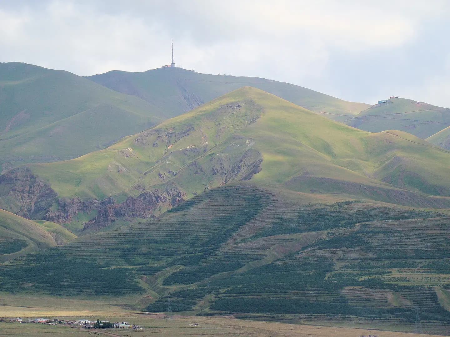
Palandoken Erzurum 2009
The mountain Palandöken near Erzurum, Turkey, is one of the best spots in Turkey for downhill skiing. During the summer this is what the mountain looks like from downtown Erzurum. This photograph is used as a geographic witness to the place, not as evidence of the historical date shown in the chapter.
- Visual description
- The mountain Palandöken near Erzurum, Turkey, is one of the best spots in Turkey for downhill skiing. During the summer this is what the mountain looks like from downtown Erzurum
- Nature
- original
- Medium
- Open-licence photograph
- Source
- Wikimedia Commons · CC BY-SA 3.0
BEFORE MODERN SPORT
Palandöken
How settlement, access and winter sport shaped Palandöken.
Scroll to read the contour through time
Palandöken Ski centre (Turkish: Palandöken Kayak Merkezi) is a ski resort for alpine skiing and snowboarding on the Palandöken Mountain in Erzurum Province, eastern Turkey.
Sources for this chapter
2011
Work and settlement beneath the snowline
It was established for the 2011 Winter Universiade.
Sources for this chapter
ACCESS CHANGES
A route reaches Palandöken
It has a gondola lift and five chairlift lines serving the 22 pistes with different slopes, on a skiable area of 460 ha (1,100 acres).
Sources for this chapter
Open ledger · AOD.EU.PALANDOKEN.V01 · ORIGINALClose ledger · AOD.EU.PALANDOKEN.V01
Ledger AOD.EU.PALANDOKEN.V01
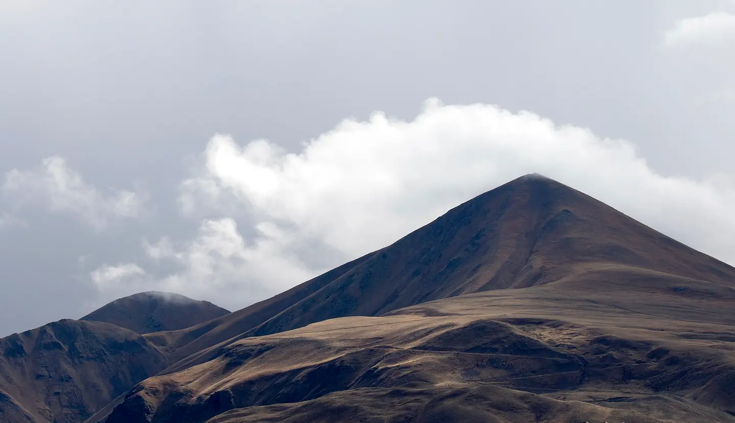
Palandöken Mt. Erzurum 01
In a partly cloudy day from Ataturk University Campus a look to Palandöken Mountain, a skiing destination in Erzurum, Turkey. This photograph is used as a geographic witness to the place, not as evidence of the historical date shown in the chapter.
- Visual description
- In a partly cloudy day from Ataturk University Campus a look to Palandöken Mountain, a skiing destination in Erzurum, Turkey
- Nature
- original
- Medium
- Open-licence photograph
- Source
- Wikimedia Commons · CC BY-SA 4.0
2016
Winter becomes organised
The ski resort's operation was transferred to the Erzurum Metropolitan Municipality in September 2016.
Sources for this chapter
THE LIVING MAP
The mapped place
Palandöken is recorded at 39.871° N, 41.213° E. Its catalogue reference reaches 3,176 metres. A modern resort map compresses terrain, exposure and access into a diagram. This exhibition keeps the underlying contour visible so the place does not become only a list of facilities.
Sources for this chapter
Open ledger · AOD.EU.PALANDOKEN.V00 · ORIGINALClose ledger · AOD.EU.PALANDOKEN.V00
Ledger AOD.EU.PALANDOKEN.V00
Palandoken Erzurum 2009
The mountain Palandöken near Erzurum, Turkey, is one of the best spots in Turkey for downhill skiing. During the summer this is what the mountain looks like from downtown Erzurum. This photograph is used as a geographic witness to the place, not as evidence of the historical date shown in the chapter.
- Visual description
- The mountain Palandöken near Erzurum, Turkey, is one of the best spots in Turkey for downhill skiing. During the summer this is what the mountain looks like from downtown Erzurum
- Nature
- original
- Medium
- Open-licence photograph
- Source
- Wikimedia Commons · CC BY-SA 3.0
TODAY
Palandöken now
The ski centre is situated 7 km (4.3 mi) southwest of Erzurum.
Sources for this chapter
THE LEDGER
Sources and credits
This exhibition is built from local, institutional and sporting records. The source ledger keeps the claims visible and leaves space for correction as further local evidence emerges.
Sources for this chapter
Artefacts in order of appearance
Palandoken Erzurum 2009
AOD.EU.PALANDOKEN.V00 · original · Wikimedia Commons · CC BY-SA 3.0
Palandöken Mt. Erzurum 01
AOD.EU.PALANDOKEN.V01 · original · Wikimedia Commons · CC BY-SA 4.0
Editorial record
Full European Beta edition. Place evidence is adapted from the linked Palandöken Ski Center overview under CC BY-SA 4.0 and remains subject to named historical and local review. Cartography is generated from the PeakWave location catalogue.