Open ledger · AOD.EU.ORDINO-ARCALIS.V00 · ORIGINALClose ledger · AOD.EU.ORDINO-ARCALIS.V00
Ledger AOD.EU.ORDINO-ARCALIS.V00
Ordino-Arcalís
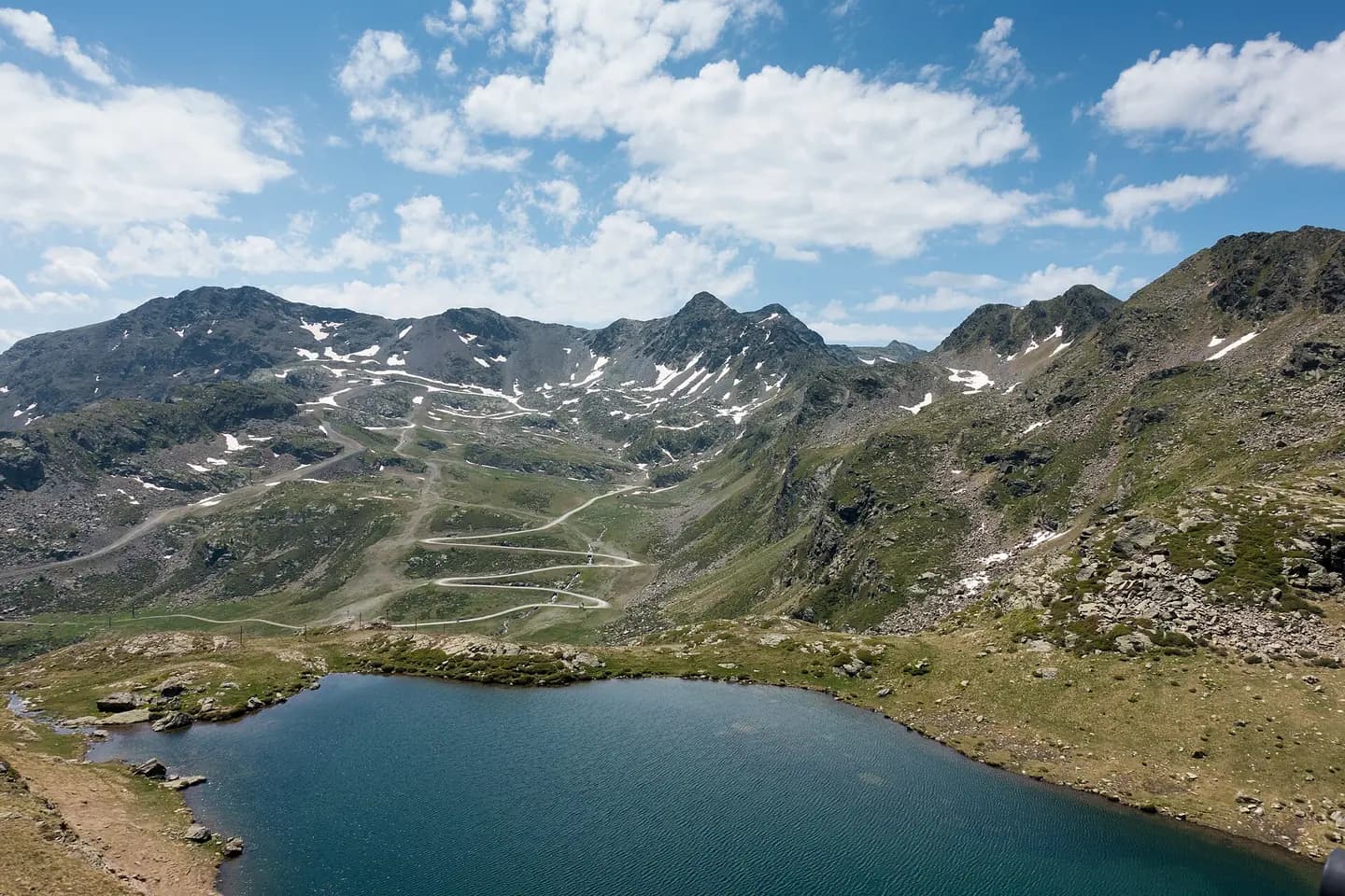
View from the Creussans chairlift over Lake Creussans and the Serra del Cap de la Coma mountain range in Andorra. This photograph is used as a geographic witness to the place, not as evidence of the historical date shown in the chapter.
- Visual description
- View from the Creussans chairlift over Lake Creussans and the Serra del Cap de la Coma mountain range in Andorra
- Nature
- original
- Medium
- Open-licence photograph
- Source
- Wikimedia Commons · CC BY-SA 2.0
BEFORE MODERN SPORT
Ordino Arcalís
How settlement, access and winter sport shaped Ordino Arcalís.
Scroll to read the contour through time
Ordino is the most northerly parish in the Principality of Andorra.
Sources for this chapter
2010
Work and settlement beneath the snowline
FC Ordino, founded in 2010, is one of the major sport clubs in the parish.
Sources for this chapter
2005
A route reaches Ordino Arcalís
The ski station has also hosted since 2005 main stages of the European Championships of Ski Mountaineering and World Championships of Ski Mountaineering.
Sources for this chapter
Open ledger · AOD.EU.ORDINO-ARCALIS.V01 · ORIGINALClose ledger · AOD.EU.ORDINO-ARCALIS.V01
Ledger AOD.EU.ORDINO-ARCALIS.V01
Estany de tristaina de Baix 01
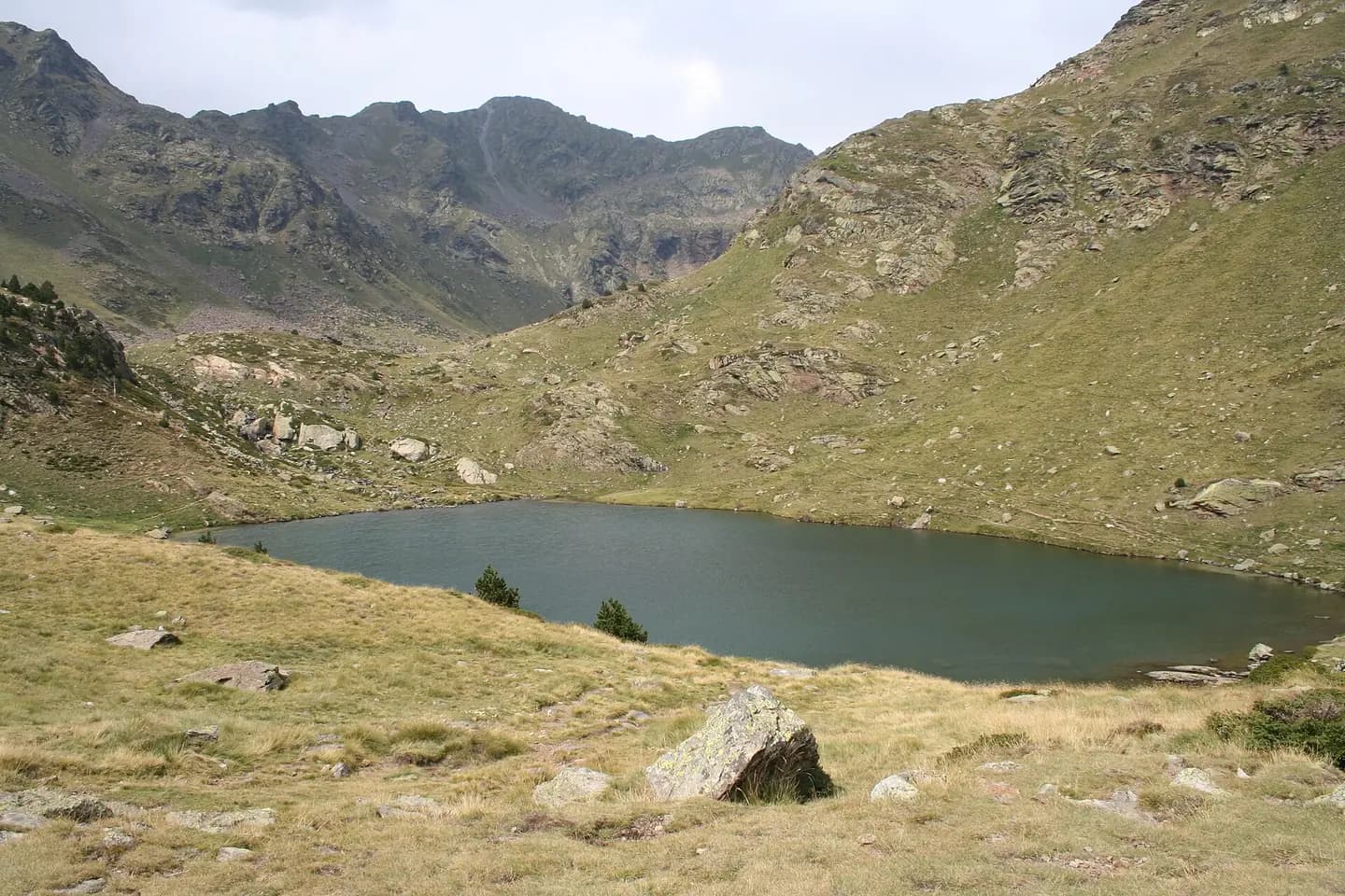
The lake of Tristaina de Baix, near the Ordino-Arcalís ski-resort. This photograph is used as a geographic witness to the place, not as evidence of the historical date shown in the chapter.
- Visual description
- The lake of Tristaina de Baix, near the Ordino-Arcalís ski-resort
- Nature
- original
- Medium
- Open-licence photograph
- Source
- Wikimedia Commons · CC BY-SA 2.5
ORGANISED SPORT
Winter becomes organised
In the extreme northwest of the parish is the Vallnord (Ordino-Arcalis sector ski station) ski resort which has peaks up to 2,625 m.
Sources for this chapter
THE LIVING MAP
The mapped place
Ordino Arcalís is recorded at 42.611° N, 1.516° E. Its catalogue reference reaches 2,616 metres. A modern resort map compresses terrain, exposure and access into a diagram. This exhibition keeps the underlying contour visible so the place does not become only a list of facilities.
Sources for this chapter
Open ledger · AOD.EU.ORDINO-ARCALIS.V00 · ORIGINALClose ledger · AOD.EU.ORDINO-ARCALIS.V00
Ledger AOD.EU.ORDINO-ARCALIS.V00
Ordino-Arcalís
View from the Creussans chairlift over Lake Creussans and the Serra del Cap de la Coma mountain range in Andorra. This photograph is used as a geographic witness to the place, not as evidence of the historical date shown in the chapter.
- Visual description
- View from the Creussans chairlift over Lake Creussans and the Serra del Cap de la Coma mountain range in Andorra
- Nature
- original
- Medium
- Open-licence photograph
- Source
- Wikimedia Commons · CC BY-SA 2.0
TODAY
Ordino Arcalís now
Vallnord is part of the annually Freeride World Tour El Dorado route since 2015, as part of the major ski events in Andorra; along with the FIS International Youth Trophy Trofeu Borrufa celebrated every January.
Sources for this chapter
THE LEDGER
Sources and credits
This exhibition is built from local, institutional and sporting records. The source ledger keeps the claims visible and leaves space for correction as further local evidence emerges.
Sources for this chapter
Artefacts in order of appearance
Ordino-Arcalís
AOD.EU.ORDINO-ARCALIS.V00 · original · Wikimedia Commons · CC BY-SA 2.0
Estany de tristaina de Baix 01
AOD.EU.ORDINO-ARCALIS.V01 · original · Wikimedia Commons · CC BY-SA 2.5
Editorial record
Full European Beta edition. Place evidence is adapted from the linked Ordino overview under CC BY-SA 4.0 and remains subject to named historical and local review. Cartography is generated from the PeakWave location catalogue.