Open ledger · AOD.US.OCEAN-BEACH-SF.V00 · ORIGINALClose ledger · AOD.US.OCEAN-BEACH-SF.V00
Ledger AOD.US.OCEAN-BEACH-SF.V00
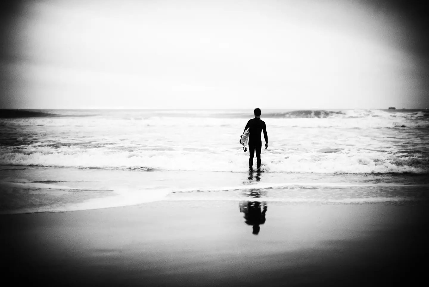
Ocean Beach, A7S + Noctilux
Ocean Beach, A7S + Noctilux. This photograph is used as a geographic witness to the place, not as evidence of the historical date shown in the chapter.
- Visual description
- Ocean Beach, A7S + Noctilux
- Nature
- original
- Medium
- Open-licence photograph
- Source
- Wikimedia Commons · CC BY 2.0
BEFORE MODERN SPORT
Ocean Beach SF
How work, access and surfing shaped Ocean Beach SF.
Scroll to follow the shoreline through time
Ocean Beach is a beach on the west coast of San Francisco, California, United States.
Sources for this chapter
1884
Work at the water’s edge
Due in part to its sometimes inhospitable weather (high winds, cold weather and fog), the area was largely undeveloped throughout most of San Francisco's early history, when it was known as part of the "Outside Lands." Development finally came in the late 19th century: a steam railroad was in place by 1884 to bring people to the first amusement ride at the city's oceanside, a "Gravity Railroad" roller coaster, and to the Ocean Beach Pavilion for concerts and dancing.
Sources for this chapter
1890
The shore becomes reachable
By 1890, trolley lines reached Ocean Beach: the Ferries and Cliff House Railroad, Park and Ocean Railroad, and Sutro Railroad that encouraged commercial amusement development as a trolley park.
Open ledger · AOD.US.OCEAN-BEACH-SF.V01 · ORIGINALClose ledger · AOD.US.OCEAN-BEACH-SF.V01
Ledger AOD.US.OCEAN-BEACH-SF.V01
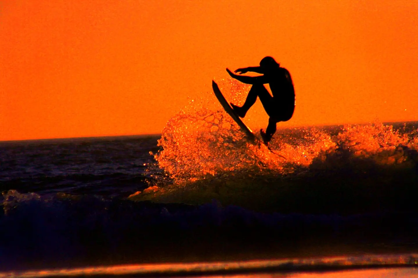
Sunset Surfer
A Surfer at Ocean Beach in San Francisco Photograped by Brocken Inaglory. This photograph is used as a geographic witness to the place, not as evidence of the historical date shown in the chapter.
- Visual description
- A Surfer at Ocean Beach in San Francisco Photograped by Brocken Inaglory
- Nature
- original
- Medium
- Open-licence photograph
- Source
- Wikimedia Commons · CC BY-SA 3.0
1952
Surfing reads the same coast differently
Jack O'Neill opened his first surf shop at Ocean Beach in 1952.
THE LIVING MAP
The mapped place
Ocean Beach SF is recorded at 37.761° N, 122.511° W. A surf map fixes a name to one stretch of moving water, but the place changes with tide, swell direction, wind and the shape of the seabed.
Sources for this chapter
Open ledger · AOD.US.OCEAN-BEACH-SF.V00 · ORIGINALClose ledger · AOD.US.OCEAN-BEACH-SF.V00
Ledger AOD.US.OCEAN-BEACH-SF.V00
Ocean Beach, A7S + Noctilux
Ocean Beach, A7S + Noctilux. This photograph is used as a geographic witness to the place, not as evidence of the historical date shown in the chapter.
- Visual description
- Ocean Beach, A7S + Noctilux
- Nature
- original
- Medium
- Open-licence photograph
- Source
- Wikimedia Commons · CC BY 2.0
TODAY
Ocean Beach SF now
The Ocean Beach surfing community is served by four surf shops and several popular beach-themed cafes.
THE LEDGER
Sources and credits
This exhibition is built from local, institutional and sporting records. The source ledger keeps the claims visible and leaves space for correction as further local evidence emerges.
Sources for this chapter
Artefacts in order of appearance
Ocean Beach, A7S + Noctilux
AOD.US.OCEAN-BEACH-SF.V00 · original · Wikimedia Commons · CC BY 2.0
Sunset Surfer
AOD.US.OCEAN-BEACH-SF.V01 · original · Wikimedia Commons · CC BY-SA 3.0
Editorial record
Full US Beta edition. Place evidence is adapted from the linked Ocean Beach, San Francisco overview under CC BY-SA 4.0 and remains subject to named historical and local review. Cartography is generated from the PeakWave location catalogue.