Open ledger · AOD.EU.MUNDAKA.V00 · ORIGINALClose ledger · AOD.EU.MUNDAKA.V00
Ledger AOD.EU.MUNDAKA.V00
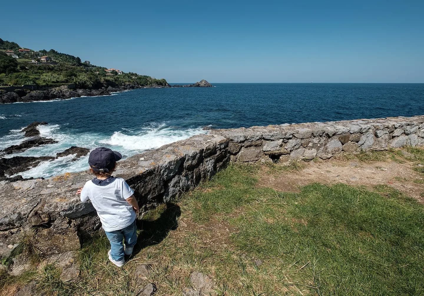
Garbiel enjoys the ocean view, Hermitage of Saint Catherine, Mundaka, Spain (PPL3-Altered) julesvernex2
Garbiel enjoys the ocean view, Hermitage of Saint Catherine, Mundaka, Spain (PPL3-Altered). This photograph is used as a geographic witness to the place, not as evidence of the historical date shown in the chapter.
- Visual description
- Garbiel enjoys the ocean view, Hermitage of Saint Catherine, Mundaka, Spain (PPL3-Altered)
- Nature
- original
- Medium
- Open-licence photograph
- Source
- Wikimedia Commons · CC BY-SA 4.0
BEFORE MODERN SPORT
Mundaka
How work, access and surfing shaped Mundaka.
Scroll to follow the shoreline through time
Mundaka (Spanish: Mundaca) is a town and municipality located in the province of Biscay, in the autonomous community of Basque Country, in northern Spain.
Sources for this chapter
BEFORE TOURISM
Work at the water’s edge
Primary sector: the village has been fundamentally devoted to the fishing and maritime trade since ancient times, having hosted an important Guild of fishermen.
Sources for this chapter
ACCESS CHANGES
The shore becomes reachable
By road: from Bilbao: N-631; from Amorebieta: N-635.
Sources for this chapter
Open ledger · AOD.EU.MUNDAKA.V01 · ORIGINALClose ledger · AOD.EU.MUNDAKA.V01
Ledger AOD.EU.MUNDAKA.V01
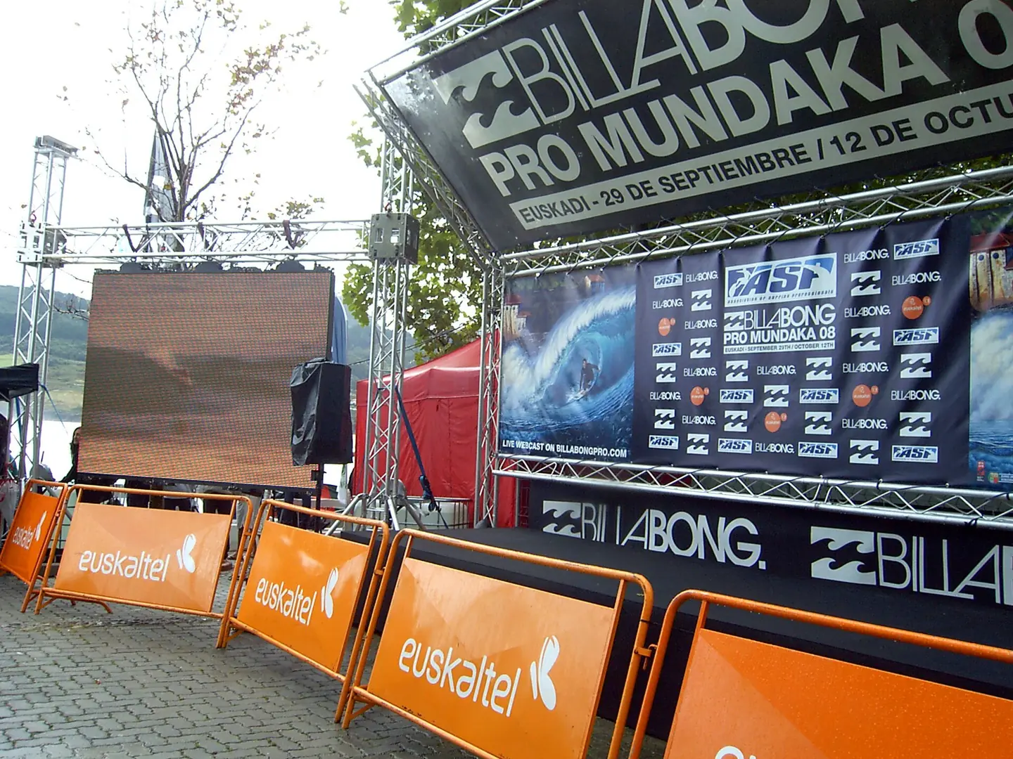
Mundaka surf txapelketa
Mundakako surf txapelketa. This photograph is used as a geographic witness to the place, not as evidence of the historical date shown in the chapter.
- Visual description
- Mundakako surf txapelketa
- Nature
- original
- Medium
- Open-licence photograph
- Source
- Wikimedia Commons · CC BY-SA 3.0
ORGANISED SPORT
Surfing reads the same coast differently
Orígenes Históricos Ayuntamiento de Mundaca City council web page MUNDAKA in the Bernardo Estornés Lasa - Auñamendi Encyclopedia (Euskomedia Fundazioa) (in Spanish) YOUTUBE video of surf in Mundaka YOUTUBE Incredible tubes in Mundaka Mundaka in Google Maps Mundaca photos Surf in Mundaka
Sources for this chapter
THE LIVING MAP
The mapped place
Mundaka is recorded at 43.407° N, 2.698° W. A surf map fixes a name to one stretch of moving water, but the place changes with tide, swell direction, wind and the shape of the seabed.
Sources for this chapter
Open ledger · AOD.EU.MUNDAKA.V00 · ORIGINALClose ledger · AOD.EU.MUNDAKA.V00
Ledger AOD.EU.MUNDAKA.V00
Garbiel enjoys the ocean view, Hermitage of Saint Catherine, Mundaka, Spain (PPL3-Altered) julesvernex2
Garbiel enjoys the ocean view, Hermitage of Saint Catherine, Mundaka, Spain (PPL3-Altered). This photograph is used as a geographic witness to the place, not as evidence of the historical date shown in the chapter.
- Visual description
- Garbiel enjoys the ocean view, Hermitage of Saint Catherine, Mundaka, Spain (PPL3-Altered)
- Nature
- original
- Medium
- Open-licence photograph
- Source
- Wikimedia Commons · CC BY-SA 4.0
TODAY
Mundaka now
The summer season extends during the fall with the arrival of the practitioners of surf.
Sources for this chapter
THE LEDGER
Sources and credits
This exhibition is built from local, institutional and sporting records. The source ledger keeps the claims visible and leaves space for correction as further local evidence emerges.
Sources for this chapter
Artefacts in order of appearance
Garbiel enjoys the ocean view, Hermitage of Saint Catherine, Mundaka, Spain (PPL3-Altered) julesvernex2
AOD.EU.MUNDAKA.V00 · original · Wikimedia Commons · CC BY-SA 4.0
Mundaka surf txapelketa
AOD.EU.MUNDAKA.V01 · original · Wikimedia Commons · CC BY-SA 3.0
Editorial record
Full European Beta edition. Place evidence is adapted from the linked Mundaka overview under CC BY-SA 4.0 and remains subject to named historical and local review. Cartography is generated from the PeakWave location catalogue.