Open ledger · AOD.US.MT-BACHELOR.V00 · ORIGINALClose ledger · AOD.US.MT-BACHELOR.V00
Ledger AOD.US.MT-BACHELOR.V00
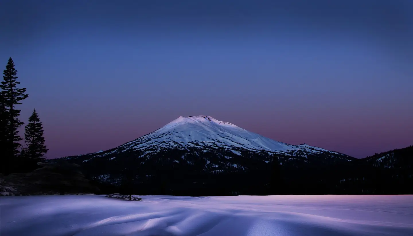
Mt. Bachelor, Oregon, early morning - Flickr - Bonnie Moreland
Mt. Bachelor, Oregon, early morning - Flickr - Bonnie Moreland. This photograph is used as a geographic witness to the place, not as evidence of the historical date shown in the chapter.
- Visual description
- Mt. Bachelor, Oregon, early morning - Flickr - Bonnie Moreland
- Nature
- original
- Medium
- Open-licence photograph
- Source
- Wikimedia Commons · Public domain
BEFORE MODERN SPORT
Mt. Bachelor
How settlement, access and winter sport shaped Mt. Bachelor.
Scroll to read the contour through time
Mount Bachelor, formerly named Bachelor Butte, is a dormant stratovolcano atop a shield volcano in the Cascade Volcanic Arc and the Cascade Range of central Oregon, United States.
Sources for this chapter
BEFORE TOURISM
Work and settlement beneath the snowline
During the summer, fishing is a popular activity in the local lakes and streams, as is hiking and camping.
Sources for this chapter
1958
A route reaches Mt. Bachelor
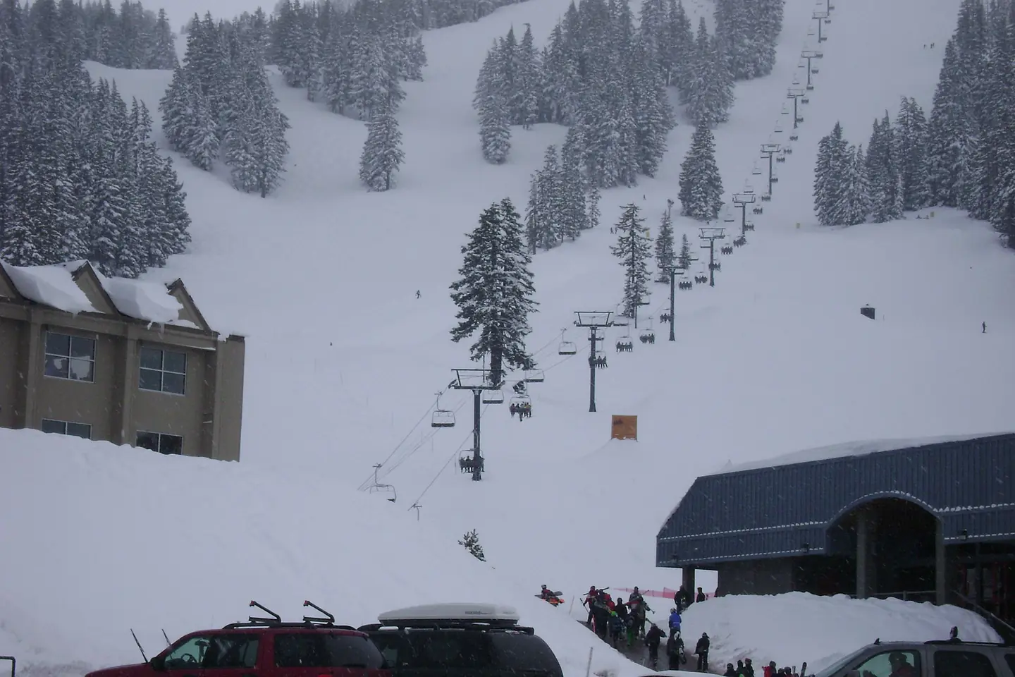
By 1958, the ski hill had grown into a ski resort, after the fundraising of start-up costs by the Bend Skyliners Mountaineering Club, with the installation of the first chair lift in 1962 and the attainment of a 30-year special use permit from the United States Forest Service.
Open ledger · AOD.US.MT-BACHELOR.V01 · ORIGINALClose ledger · AOD.US.MT-BACHELOR.V01
Ledger AOD.US.MT-BACHELOR.V01
Pine Marten Express
Pine Marten Express. This photograph is used as a geographic witness to the place, not as evidence of the historical date shown in the chapter.
- Visual description
- Pine Marten Express
- Nature
- original
- Medium
- Open-licence photograph
- Source
- Wikimedia Commons · CC BY 3.0
1958
Winter becomes organised
The Mount Bachelor Ski Area was founded by former 10th Mountain Division Elite Force ski trooper Bill Healy on December 19, 1958, with $75,000 (equivalent to $837,000 today) and a one-year lease from the U.S.
THE LIVING MAP
The mapped place
Mt. Bachelor is recorded at 43.979° N, 121.689° W. Its catalogue reference reaches 2,764 metres. A modern resort map compresses terrain, exposure and access into a diagram. This exhibition keeps the underlying contour visible so the place does not become only a list of facilities.
Sources for this chapter
Open ledger · AOD.US.MT-BACHELOR.V00 · ORIGINALClose ledger · AOD.US.MT-BACHELOR.V00
Ledger AOD.US.MT-BACHELOR.V00
Mt. Bachelor, Oregon, early morning - Flickr - Bonnie Moreland
Mt. Bachelor, Oregon, early morning - Flickr - Bonnie Moreland. This photograph is used as a geographic witness to the place, not as evidence of the historical date shown in the chapter.
- Visual description
- Mt. Bachelor, Oregon, early morning - Flickr - Bonnie Moreland
- Nature
- original
- Medium
- Open-licence photograph
- Source
- Wikimedia Commons · Public domain
TODAY
Mt. Bachelor now
Mount Bachelor remains both a dormant Cascade volcano and an operating ski area on public forest land near Bend.
THE LEDGER
Sources and credits
This exhibition is built from local, institutional and sporting records. The source ledger keeps the claims visible and leaves space for correction as further local evidence emerges.
Sources for this chapter
Artefacts in order of appearance
Mt. Bachelor, Oregon, early morning - Flickr - Bonnie Moreland
AOD.US.MT-BACHELOR.V00 · original · Wikimedia Commons · Public domain
Pine Marten Express
AOD.US.MT-BACHELOR.V01 · original · Wikimedia Commons · CC BY 3.0
Editorial record
Full US Beta edition. Place evidence is adapted from the linked Mount Bachelor overview under CC BY-SA 4.0 and remains subject to named historical and local review. Cartography is generated from the PeakWave location catalogue.