Open ledger · AOD.EU.MORZINE.V00 · ORIGINALClose ledger · AOD.EU.MORZINE.V00
Ledger AOD.EU.MORZINE.V00
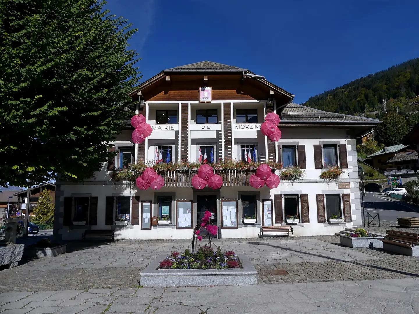
Mairie de Morzine lors d'Octobre rose
Sight of Morzine town hall with colors of Breast Cancer Awareness Month, in Haute-Savoie , France. This photograph is used as a geographic witness to the place, not as evidence of the historical date shown in the chapter.
- Visual description
- Sight of Morzine town hall with colors of Breast Cancer Awareness Month, in Haute-Savoie , France
- Nature
- original
- Medium
- Open-licence photograph
- Source
- Wikimedia Commons · CC BY-SA 4.0
BEFORE MODERN SPORT
Morzine
How settlement, access and winter sport shaped Morzine.
Scroll to read the contour through time
Morzine , alternatively known as Morzine-Avoriaz (pronounced ), is an alpine commune on the Swiss border in the Haute-Savoie department in the Auvergne-Rhône-Alpes region in Southeastern France.
Sources for this chapter
2006
Work and settlement beneath the snowline
Stage 17 of the 2006 Tour de France ended in Morzine, where Floyd Landis did the impossible and gutted out one of the most memorable stage wins in Tour history during the height of the 1992–2012 doping-era.
Sources for this chapter
ACCESS CHANGES
A route reaches Morzine
A single lift pass can be purchased to cover the whole of the Portes du Soleil area and costs much less than during the winter months.
Sources for this chapter
Open ledger · AOD.EU.MORZINE.V01 · ORIGINALClose ledger · AOD.EU.MORZINE.V01
Ledger AOD.EU.MORZINE.V01
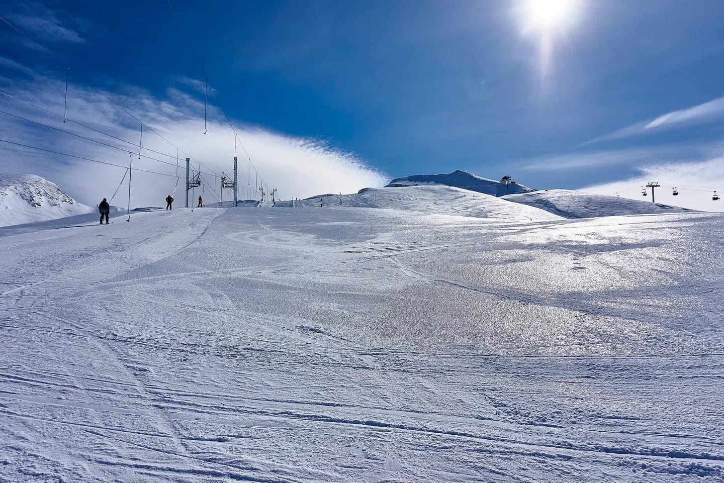
Portes Du Soleil
500px provided description: Here are some photos from me, my Videos are on Youtube: ?www.youtube.com/maximalster. This photograph is used as a geographic witness to the place, not as evidence of the historical date shown in the chapter.
- Visual description
- 500px provided description: Here are some photos from me, my Videos are on Youtube: ?www.youtube.com/maximalster
- Nature
- original
- Medium
- Open-licence photograph
- Source
- Wikimedia Commons · CC BY 3.0
ORGANISED SPORT
Winter becomes organised
The ski resort of Avoriaz is located on the territory of the commune.
Sources for this chapter
THE LIVING MAP
The mapped place
Morzine is recorded at 46.180° N, 6.709° E. Its catalogue reference reaches 2,460 metres. A modern resort map compresses terrain, exposure and access into a diagram. This exhibition keeps the underlying contour visible so the place does not become only a list of facilities.
Sources for this chapter
Open ledger · AOD.EU.MORZINE.V00 · ORIGINALClose ledger · AOD.EU.MORZINE.V00
Ledger AOD.EU.MORZINE.V00
Mairie de Morzine lors d'Octobre rose
Sight of Morzine town hall with colors of Breast Cancer Awareness Month, in Haute-Savoie , France. This photograph is used as a geographic witness to the place, not as evidence of the historical date shown in the chapter.
- Visual description
- Sight of Morzine town hall with colors of Breast Cancer Awareness Month, in Haute-Savoie , France
- Nature
- original
- Medium
- Open-licence photograph
- Source
- Wikimedia Commons · CC BY-SA 4.0
TODAY
Morzine now
The intermediate terrain makes the area well suited to beginners and less-seasoned skiers and snowboarders, which has led to the resort being especially popular with families.
Sources for this chapter
THE LEDGER
Sources and credits
This exhibition is built from local, institutional and sporting records. The source ledger keeps the claims visible and leaves space for correction as further local evidence emerges.
Sources for this chapter
Artefacts in order of appearance
Mairie de Morzine lors d'Octobre rose
AOD.EU.MORZINE.V00 · original · Wikimedia Commons · CC BY-SA 4.0
Portes Du Soleil
AOD.EU.MORZINE.V01 · original · Wikimedia Commons · CC BY 3.0
Editorial record
Full European Beta edition. Place evidence is adapted from the linked Morzine overview under CC BY-SA 4.0 and remains subject to named historical and local review. Cartography is generated from the PeakWave location catalogue.