Open ledger · AOD.UK.MENAI-STRAIT.V00 · ORIGINALClose ledger · AOD.UK.MENAI-STRAIT.V00
Ledger AOD.UK.MENAI-STRAIT.V00
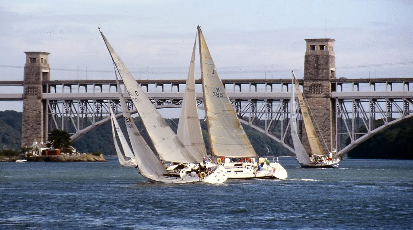
Tacking near Britannia Bridge
Tacking near Britannia Bridge. This photograph is used as a geographic witness to the place, not as evidence of the historical date shown in the chapter.
- Visual description
- Tacking near Britannia Bridge
- Nature
- original
- Medium
- Open-licence photograph
- Source
- Wikimedia Commons · Public domain
- Reviewed
- Josh Wildman
THE STRAIT
Menai Strait
A tidal strait, a local one-design and a regatta tradition built around moving water.
Scroll to read the water through time
The Menai Strait separates Anglesey from mainland Wales.
Tidal water accelerates through narrows and around islands, producing a course where timing and local pilotage matter as much as boatspeed.
Sources for this chapter
WORKING CROSSING
Communities face one another across the water
The Strait was a route for ferries, fishing and coastal passage before it became a regatta stage.
Towns on both shores developed distinct relationships with the same tidal channel.
Sources for this chapter
1937–1952
A boat made for the Strait
Seventeen Menai Strait One Design boats were built between 1937 and 1952, and the class club formed in 1938.
The design preserved close racing while being practical for the local water.
Sources for this chapter
Open ledger · AOD.UK.MENAI-STRAIT.V01 · ORIGINALClose ledger · AOD.UK.MENAI-STRAIT.V01
Ledger AOD.UK.MENAI-STRAIT.V01
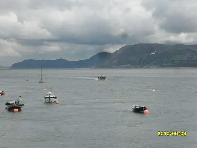
Boats in the Menai Strait
Boats in the Menai Strait. This photograph is used as a geographic witness to the place, not as evidence of the historical date shown in the chapter.
- Visual description
- Boats in the Menai Strait
- Nature
- original
- Medium
- Open-licence photograph
- Source
- Wikimedia Commons / Geograph · CC BY-SA 2.0
- Reviewed
- Josh Wildman
A CENTURY OF REGATTAS
Regattas travel along the channel
The Menai Strait regattas developed into a sequence of events at different communities rather than one fixed course.
Boats and crews move through the landscape as the programme unfolds.
Sources for this chapter
THE LIVING MAP
The mapped place
Menai Strait is recorded at 53.180° N, 4.170° W as an estuary venue. A course drawn here is temporary: wind, current, shore and marks determine the water that sailors actually meet.
Sources for this chapter
Open ledger · AOD.UK.MENAI-STRAIT.V00 · ORIGINALClose ledger · AOD.UK.MENAI-STRAIT.V00
Ledger AOD.UK.MENAI-STRAIT.V00
Tacking near Britannia Bridge
Tacking near Britannia Bridge. This photograph is used as a geographic witness to the place, not as evidence of the historical date shown in the chapter.
- Visual description
- Tacking near Britannia Bridge
- Nature
- original
- Medium
- Open-licence photograph
- Source
- Wikimedia Commons · Public domain
- Reviewed
- Josh Wildman
TODAY
Heritage that still sails
The local one-designs are maintained to race, not displayed as static objects.
Their continuing fleet makes the Strait’s history visible each summer in the same tide and narrow water that shaped them.
Sources for this chapter
THE LEDGER
Sources and credits
This exhibition is built from local, institutional and sporting records. The source ledger keeps the claims visible and leaves space for correction as further local evidence emerges.
Sources for this chapter
Artefacts in order of appearance
Tacking near Britannia Bridge
AOD.UK.MENAI-STRAIT.V00 · original · Wikimedia Commons · Public domain
Boats in the Menai Strait
AOD.UK.MENAI-STRAIT.V01 · original · Wikimedia Commons / Geograph · CC BY-SA 2.0
Editorial record
Full UK edition. Historical claims are linked to the local, public and sporting records used to write the exhibition. Cartography is generated from the PeakWave location catalogue.