Open ledger · AOD.UK.MACHRIHANISH.V00 · ORIGINALClose ledger · AOD.UK.MACHRIHANISH.V00
Ledger AOD.UK.MACHRIHANISH.V00
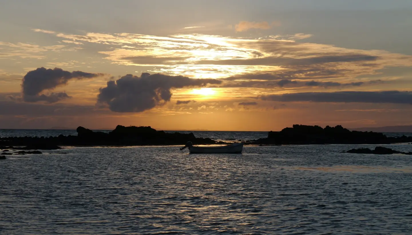
July Sunset From Machrihanish Beach
July Sunset From Machrihanish Beach. This photograph is used as a geographic witness to the place, not as evidence of the historical date shown in the chapter.
- Visual description
- July Sunset From Machrihanish Beach
- Nature
- original
- Medium
- Open-licence photograph
- Source
- Wikimedia Commons / Geograph · CC BY-SA 2.0
- Reviewed
- Josh Wildman
THE KINTYRE EDGE
Machrihanish
A Kintyre shore shaped by Atlantic travel, industry, links golf and a later surf culture.
Scroll to follow the shoreline through time
Machrihanish faces west from the Kintyre peninsula across open Atlantic water.
Its long bay runs north towards Westport, with dunes built and rearranged by wind.
Sources for this chapter
THE OLDER PENINSULA
A corridor between seas and kingdoms
Kintyre’s history records movement between Ireland, the Isles and mainland Scotland, followed by farming, fishing and industry around Campbeltown.
Machrihanish belongs to that outward-looking peninsula.
Sources for this chapter
1827–1879
Tourism reaches the shore
Kintyre was being described as a tourist area by the 1820s.
A golf club formed at Machrihanish in 1876 and Old Tom Morris extended its links in 1879, turning the dunes into an early sporting destination.
Sources for this chapter
Open ledger · AOD.UK.MACHRIHANISH.V01 · ORIGINALClose ledger · AOD.UK.MACHRIHANISH.V01
Ledger AOD.UK.MACHRIHANISH.V01
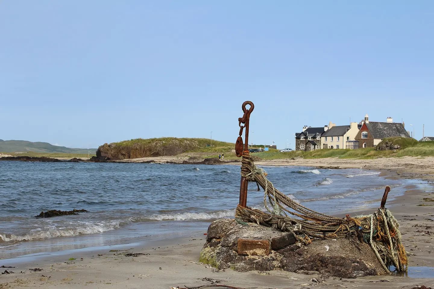
Machrihanish Beach
Machrihanish Beach. This photograph is used as a geographic witness to the place, not as evidence of the historical date shown in the chapter.
- Visual description
- Machrihanish Beach
- Nature
- original
- Medium
- Open-licence photograph
- Source
- Wikimedia Commons / Geograph · CC BY-SA 2.0
- Reviewed
- Josh Wildman
LATE 20th CENTURY
The same beach acquires another reading
Modern wetsuits and portable boards brought surfing to more of Scotland’s Atlantic shore.
At Machrihanish, surfers began reading the bay for wind and swell alongside golfers reading the dunes.
Sources for this chapter
THE LIVING MAP
The mapped place
Machrihanish is recorded at 55.432° N, 5.748° W. A surf map fixes a name to one stretch of moving water, but the place changes with tide, swell direction, wind and the shape of the seabed.
Sources for this chapter
Open ledger · AOD.UK.MACHRIHANISH.V00 · ORIGINALClose ledger · AOD.UK.MACHRIHANISH.V00
Ledger AOD.UK.MACHRIHANISH.V00
July Sunset From Machrihanish Beach
July Sunset From Machrihanish Beach. This photograph is used as a geographic witness to the place, not as evidence of the historical date shown in the chapter.
- Visual description
- July Sunset From Machrihanish Beach
- Nature
- original
- Medium
- Open-licence photograph
- Source
- Wikimedia Commons / Geograph · CC BY-SA 2.0
- Reviewed
- Josh Wildman
TODAY
A remote sporting shore
Machrihanish remains a working village and destination reached by a long peninsula road.
Surfing is one strand of its modern identity, defined by exposure and space rather than a dense resort infrastructure.
Sources for this chapter
THE LEDGER
Sources and credits
This exhibition is built from local, institutional and sporting records. The source ledger keeps the claims visible and leaves space for correction as further local evidence emerges.
Sources for this chapter
Artefacts in order of appearance
July Sunset From Machrihanish Beach
AOD.UK.MACHRIHANISH.V00 · original · Wikimedia Commons / Geograph · CC BY-SA 2.0
Machrihanish Beach
AOD.UK.MACHRIHANISH.V01 · original · Wikimedia Commons / Geograph · CC BY-SA 2.0
Editorial record
Full UK edition. Historical claims are linked to the local, public and sporting records used to write the exhibition. Cartography is generated from the PeakWave location catalogue.