Open ledger · AOD.UK.LLANGENNITH.V00 · ORIGINALClose ledger · AOD.UK.LLANGENNITH.V00
Ledger AOD.UK.LLANGENNITH.V00
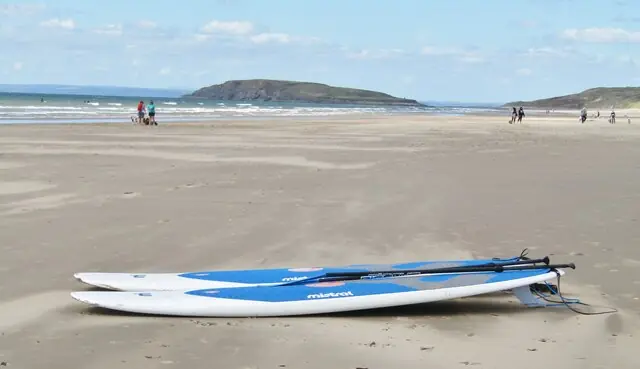
Rhossili Beach
Rhossili Beach. This photograph is used as a geographic witness to the place, not as evidence of the historical date shown in the chapter.
- Visual description
- Rhossili Beach
- Nature
- original
- Medium
- Open-licence photograph
- Source
- Wikimedia Commons / Geograph · CC BY-SA 2.0
- Reviewed
- Josh Wildman
THE OPEN BEACH
Llangennith
A saint’s village behind Rhossili Bay that became the institutional home of Welsh surfing.
Scroll to follow the shoreline through time
Llangennith occupies the northern end of a long west-facing bay.
Sandbanks shift across a broad Atlantic window, producing several surfing zones rather than one fixed take-off.
Sources for this chapter
THE EARLY SETTLEMENT
The church gives the village its name
Llangenydd means the church of St Cenydd.
Local tradition traces the church to a sixth-century religious foundation, while earthworks on nearby hills record still earlier occupation.
Sources for this chapter
THE 1960s–1973
A remote beach becomes a national meeting place
Cars, campsites, wetsuits and board hire made the long walk to the beach part of a repeatable surf trip.
A community formed around one of Wales’s most consistent exposed beaches.
Sources for this chapter
Open ledger · AOD.UK.LLANGENNITH.V01 · ORIGINALClose ledger · AOD.UK.LLANGENNITH.V01
Ledger AOD.UK.LLANGENNITH.V01
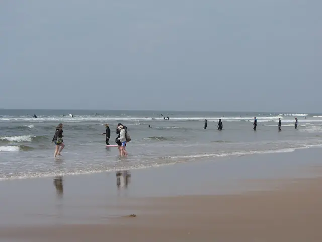
Surfers and Paddlers on Rhossili Beach
Surfers and Paddlers on Rhossili Beach. This photograph is used as a geographic witness to the place, not as evidence of the historical date shown in the chapter.
- Visual description
- Surfers and Paddlers on Rhossili Beach
- Nature
- original
- Medium
- Open-licence photograph
- Source
- Wikimedia Commons / Geograph · CC BY-SA 2.0
- Reviewed
- Josh Wildman
1973
The Welsh federation forms
The Welsh Surfing Federation was established in 1973 and made Llangennith its base.
The beach became not only a popular break but a place where teams, coaching and national championships could be organised.
Sources for this chapter
THE LIVING MAP
The mapped place
Llangennith is recorded at 51.601° N, 4.291° W. A surf map fixes a name to one stretch of moving water, but the place changes with tide, swell direction, wind and the shape of the seabed.
Sources for this chapter
Open ledger · AOD.UK.LLANGENNITH.V00 · ORIGINALClose ledger · AOD.UK.LLANGENNITH.V00
Ledger AOD.UK.LLANGENNITH.V00
Rhossili Beach
Rhossili Beach. This photograph is used as a geographic witness to the place, not as evidence of the historical date shown in the chapter.
- Visual description
- Rhossili Beach
- Nature
- original
- Medium
- Open-licence photograph
- Source
- Wikimedia Commons / Geograph · CC BY-SA 2.0
- Reviewed
- Josh Wildman
TODAY
Village, school and line-up
Llangennith remains both a small village and a national surf centre.
Its future depends on keeping that relationship workable: access and learning without treating the community or dunes as supporting scenery.
Sources for this chapter
THE LEDGER
Sources and credits
This exhibition is built from local, institutional and sporting records. The source ledger keeps the claims visible and leaves space for correction as further local evidence emerges.
Sources for this chapter
Artefacts in order of appearance
Rhossili Beach
AOD.UK.LLANGENNITH.V00 · original · Wikimedia Commons / Geograph · CC BY-SA 2.0
Surfers and Paddlers on Rhossili Beach
AOD.UK.LLANGENNITH.V01 · original · Wikimedia Commons / Geograph · CC BY-SA 2.0
Editorial record
Full UK edition. Historical claims are linked to the local, public and sporting records used to write the exhibition. Cartography is generated from the PeakWave location catalogue.