Open ledger · AOD.EU.LA-THUILE.V00 · ORIGINALClose ledger · AOD.EU.LA-THUILE.V00
Ledger AOD.EU.LA-THUILE.V00
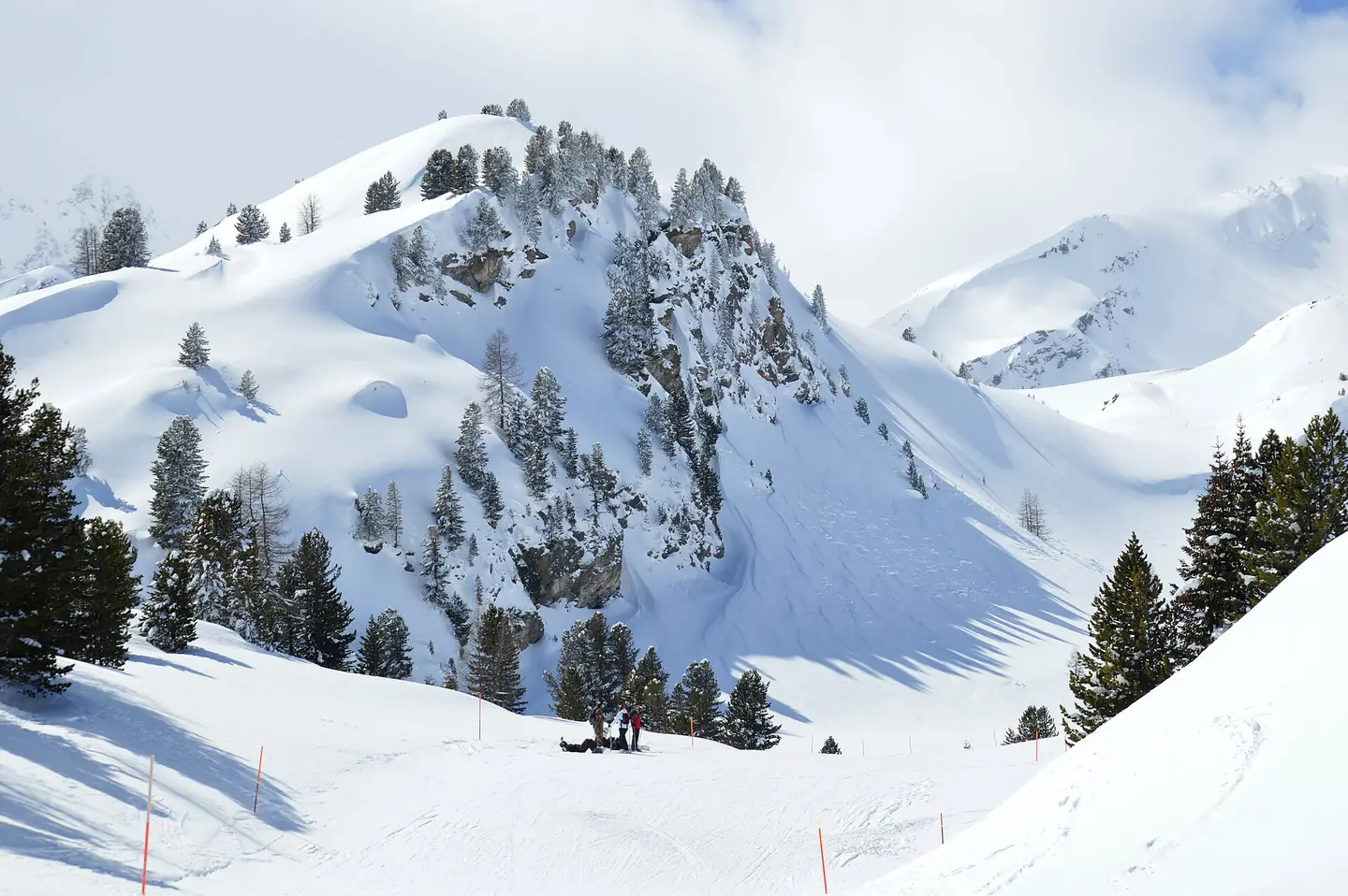
Photogenic mountain along the Ponteilles slope, La Thuile, 2024
Photogenic mountain along the Ponteilles slope, La Thuile, 2024. This photograph is used as a geographic witness to the place, not as evidence of the historical date shown in the chapter.
- Visual description
- Photogenic mountain along the Ponteilles slope, La Thuile, 2024
- Nature
- original
- Medium
- Open-licence photograph
- Source
- Wikimedia Commons · CC0
BEFORE MODERN SPORT
La Thuile
How settlement, access and winter sport shaped La Thuile.
Scroll to read the contour through time
La Thuile (French: ; Valdôtain: La Tchouiille) is a town and comune in the Aosta Valley of northwest Italy.
Sources for this chapter
BEFORE TOURISM
Work and settlement beneath the snowline
Coal mining (anthracite) was important in the area before World War II, many diggings and old mining structures can be seen around the village.
Sources for this chapter
2015
A route reaches La Thuile
Public transportation includes regular buses connecting La Thuile to Pré-Saint-Didier, the latter has a railway station (closed in 2015) connected to the Italian railway network via Aosta.
Sources for this chapter
Open ledger · AOD.EU.LA-THUILE.V01 · ORIGINALClose ledger · AOD.EU.LA-THUILE.V01
Ledger AOD.EU.LA-THUILE.V01
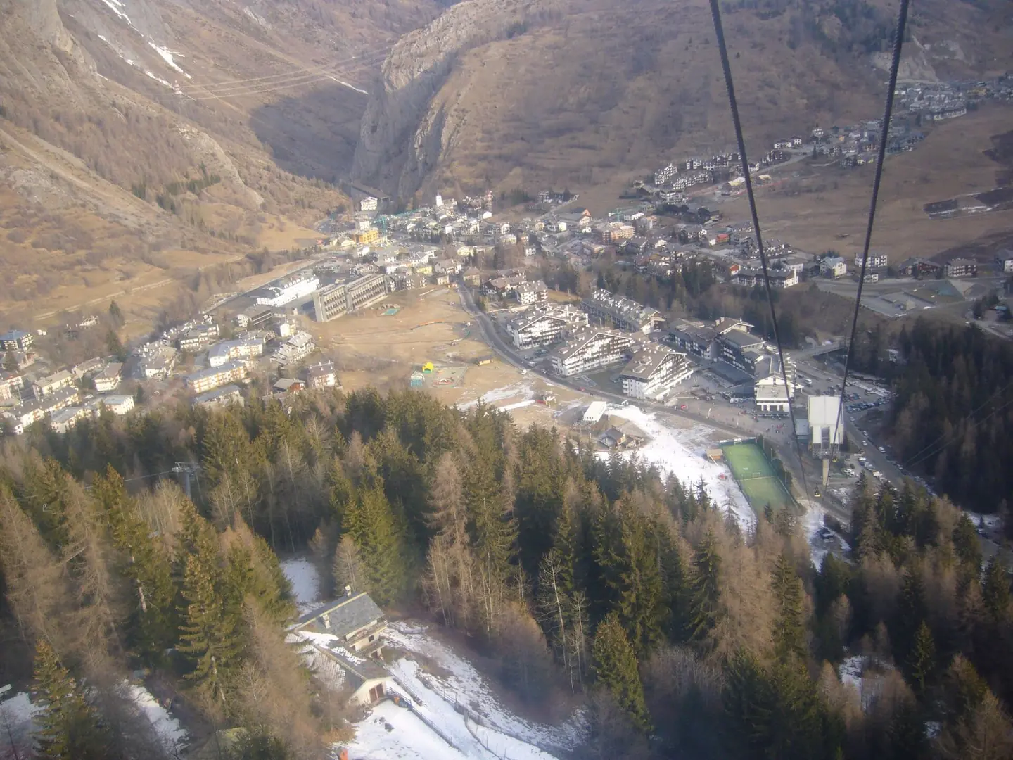
La thuile01 flickr
View of La Thuile from the chairlift of the way up. You can see that it was only a short walk from the hotel to the ski lift which was really handy - have you tried walking in ski boots !?!?! La Thuile from the cable car. This photograph is used as a geographic witness to the place, not as evidence of the historical date shown in the chapter.
- Visual description
- View of La Thuile from the chairlift of the way up. You can see that it was only a short walk from the hotel to the ski lift which was really handy - have you tried walking in ski boots !?!?! La Thuile from the cable car
- Nature
- original
- Medium
- Open-licence photograph
- Source
- Wikimedia Commons · CC BY 2.0
2016
Winter becomes organised
In February 2016 the slopes of La Thuile hosted, for the first time in history, three competitions (two downhill and one super G) valid for the FIS Alpine Ski World Cup female.
THE LIVING MAP
The mapped place
La Thuile is recorded at 45.716° N, 6.949° E. Its catalogue reference reaches 2,641 metres. A modern resort map compresses terrain, exposure and access into a diagram. This exhibition keeps the underlying contour visible so the place does not become only a list of facilities.
Sources for this chapter
Open ledger · AOD.EU.LA-THUILE.V00 · ORIGINALClose ledger · AOD.EU.LA-THUILE.V00
Ledger AOD.EU.LA-THUILE.V00
Photogenic mountain along the Ponteilles slope, La Thuile, 2024
Photogenic mountain along the Ponteilles slope, La Thuile, 2024. This photograph is used as a geographic witness to the place, not as evidence of the historical date shown in the chapter.
- Visual description
- Photogenic mountain along the Ponteilles slope, La Thuile, 2024
- Nature
- original
- Medium
- Open-licence photograph
- Source
- Wikimedia Commons · CC0
TODAY
La Thuile now
Nowadays, La Thuile depends on tourism, in winter as one of the main Italian Alpine ski resorts linked with La Rosière, as well as in summer (hiking).
Sources for this chapter
THE LEDGER
Sources and credits
This exhibition is built from local, institutional and sporting records. The source ledger keeps the claims visible and leaves space for correction as further local evidence emerges.
Sources for this chapter
Artefacts in order of appearance
Photogenic mountain along the Ponteilles slope, La Thuile, 2024
AOD.EU.LA-THUILE.V00 · original · Wikimedia Commons · CC0
La thuile01 flickr
AOD.EU.LA-THUILE.V01 · original · Wikimedia Commons · CC BY 2.0
Editorial record
Full European Beta edition. Place evidence is adapted from the linked La Thuile, Aosta Valley overview under CC BY-SA 4.0 and remains subject to named historical and local review. Cartography is generated from the PeakWave location catalogue.