Open ledger · AOD.EU.LA-ROCHELLE.V00 · ORIGINALClose ledger · AOD.EU.LA-ROCHELLE.V00
Ledger AOD.EU.LA-ROCHELLE.V00
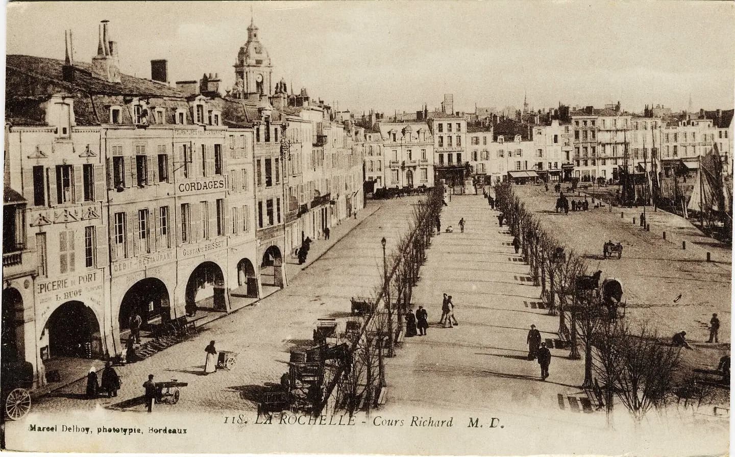
La Rochelle - Le port, Cours Richard
Le port de La Rochelle: le Cours Richard (Cours des Dames en 2009). La Rochelle, Charente Maritime, France. This photograph is used as a geographic witness to the place, not as evidence of the historical date shown in the chapter.
- Visual description
- Le port de La Rochelle: le Cours Richard (Cours des Dames en 2009). La Rochelle, Charente Maritime, France
- Nature
- original
- Medium
- Open-licence photograph
- Source
- Wikimedia Commons · Public domain
BEFORE MODERN SPORT
La Rochelle
How working water, access and organised sailing shaped La Rochelle.
Scroll to read the water through time
La Rochelle (UK: , US: , French: ; Poitevin-Saintongeais: La Rochéle) is a city on the west coast of France and a seaport on the Bay of Biscay, a part of the Atlantic Ocean.
Sources for this chapter
BEFORE TOURISM
A working shore
The city has a strong commercial tradition, having an active port from very early on in its history.
Sources for this chapter
ACCESS CHANGES
The route to the water
La Rochelle is served by La Rochelle - Île de Ré Airport, which has progressively developed over the last 5 years.
Sources for this chapter
Open ledger · AOD.EU.LA-ROCHELLE.V01 · ORIGINALClose ledger · AOD.EU.LA-ROCHELLE.V01
Ledger AOD.EU.LA-ROCHELLE.V01
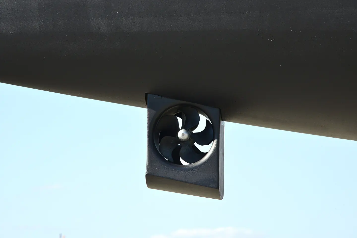
Propulseur d'étrave de voilier de plaisance
Propulseur d'étrave de voilier de plaisance. This photograph is used as a geographic witness to the place, not as evidence of the historical date shown in the chapter.
- Visual description
- Propulseur d'étrave de voilier de plaisance
- Nature
- original
- Medium
- Open-licence photograph
- Source
- Wikimedia Commons · CC BY-SA 4.0
1663
Sailing becomes organised
Additionally, it was from this port city that many of the estimated 768 women known as the Filles du Roi (Daughters of the King), set sail for Quebec during the period of 1663 to 1673.
Sources for this chapter
THE LIVING MAP
The mapped place
La Rochelle is recorded at 46.160° N, 1.150° W as a coastal open venue. A course drawn here is temporary: wind, current, shore and marks determine the water that sailors actually meet.
Sources for this chapter
Open ledger · AOD.EU.LA-ROCHELLE.V00 · ORIGINALClose ledger · AOD.EU.LA-ROCHELLE.V00
Ledger AOD.EU.LA-ROCHELLE.V00
La Rochelle - Le port, Cours Richard
Le port de La Rochelle: le Cours Richard (Cours des Dames en 2009). La Rochelle, Charente Maritime, France. This photograph is used as a geographic witness to the place, not as evidence of the historical date shown in the chapter.
- Visual description
- Le port de La Rochelle: le Cours Richard (Cours des Dames en 2009). La Rochelle, Charente Maritime, France
- Nature
- original
- Medium
- Open-licence photograph
- Source
- Wikimedia Commons · Public domain
TODAY
La Rochelle now
Because of its western location, which saved days of sailing time, La Rochelle enjoyed successful fishing in the western Atlantic and trading with the New World, which served to counterbalance the disadvantage of not being at the mouth of a river (useful for shipping goods to and from the interior).
Sources for this chapter
THE LEDGER
Sources and credits
This exhibition is built from local, institutional and sporting records. The source ledger keeps the claims visible and leaves space for correction as further local evidence emerges.
Sources for this chapter
Artefacts in order of appearance
La Rochelle - Le port, Cours Richard
AOD.EU.LA-ROCHELLE.V00 · original · Wikimedia Commons · Public domain
Propulseur d'étrave de voilier de plaisance
AOD.EU.LA-ROCHELLE.V01 · original · Wikimedia Commons · CC BY-SA 4.0
Editorial record
Full European Beta edition. Place evidence is adapted from the linked La Rochelle overview under CC BY-SA 4.0 and remains subject to named historical and local review. Cartography is generated from the PeakWave location catalogue.