Open ledger · AOD.UK.JOSS-BAY.V00 · ORIGINALClose ledger · AOD.UK.JOSS-BAY.V00
Ledger AOD.UK.JOSS-BAY.V00
Joss Bay Beach
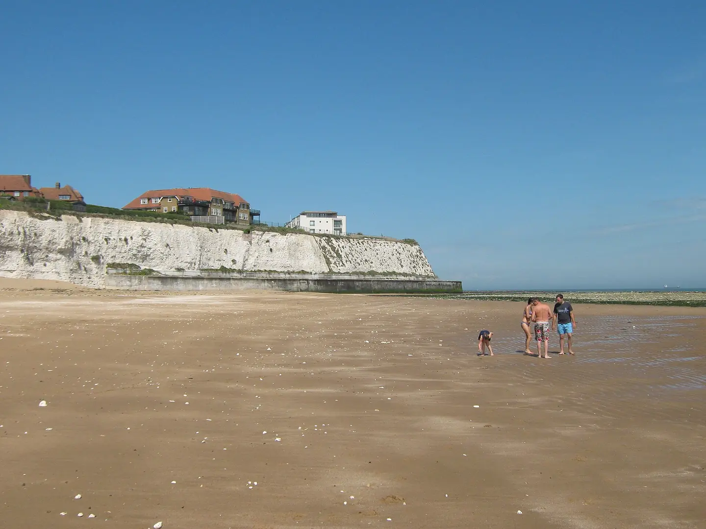
Joss Bay Beach. This photograph is used as a geographic witness to the place, not as evidence of the historical date shown in the chapter.
- Visual description
- Joss Bay Beach
- Nature
- original
- Medium
- Open-licence photograph
- Source
- Wikimedia Commons / Geograph · CC BY-SA 2.0
- Reviewed
- Josh Wildman
THE COVE
Joss Bay
A chalk cove with a smuggling memory and Kent’s clearest surf identity.
Scroll to follow the shoreline through time
Joss Bay is a short sand beach enclosed by white chalk cliffs.
The cove focuses limited North Sea swell into a compact, accessible surfing space.
Sources for this chapter
SMUGGLING THANET
The hidden coast
Thanet’s coves were used to land contraband, and local interpretation preserves Joss Bay’s place in that smuggling history.
The cliffs provided concealment before they provided a surf-school backdrop.
Sources for this chapter
THE SEASIDE CENTURY
Steps and road make a public beach
Road access, a car park, steps and beach concessions turned the enclosed cove into an organised public shore.
Access remains controlled by the same cliffs and the risk of being cut off by tide.
Sources for this chapter
Open ledger · AOD.UK.JOSS-BAY.V01 · ORIGINALClose ledger · AOD.UK.JOSS-BAY.V01
Ledger AOD.UK.JOSS-BAY.V01
The Beach at Joss Bay
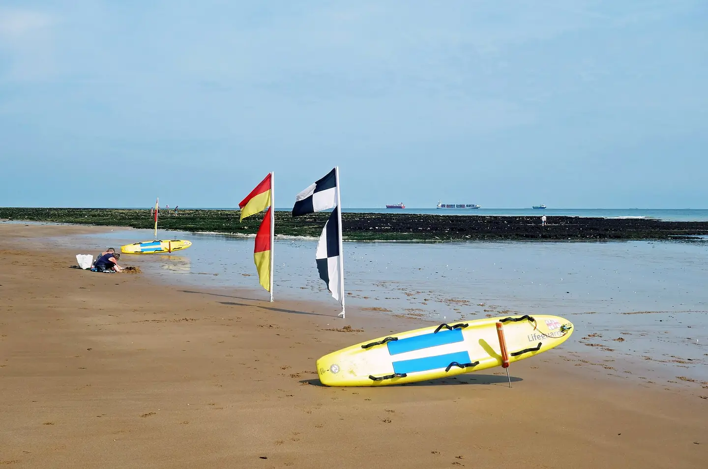
The Beach at Joss Bay. This photograph is used as a geographic witness to the place, not as evidence of the historical date shown in the chapter.
- Visual description
- The Beach at Joss Bay
- Nature
- original
- Medium
- Open-licence photograph
- Source
- Wikimedia Commons / Geograph · CC BY-SA 2.0
- Reviewed
- Josh Wildman
THE SURF ERA
Kent’s surf school beach
As wetsuits spread surfing around Britain, Joss Bay developed the clearest teaching and hire infrastructure in Thanet.
The school made a variable east-coast wave legible to first-time surfers.
Sources for this chapter
THE LIVING MAP
The mapped place
Joss Bay is recorded at 51.383° N, 1.439° E. A surf map fixes a name to one stretch of moving water, but the place changes with tide, swell direction, wind and the shape of the seabed.
Sources for this chapter
Open ledger · AOD.UK.JOSS-BAY.V00 · ORIGINALClose ledger · AOD.UK.JOSS-BAY.V00
Ledger AOD.UK.JOSS-BAY.V00
Joss Bay Beach
Joss Bay Beach. This photograph is used as a geographic witness to the place, not as evidence of the historical date shown in the chapter.
- Visual description
- Joss Bay Beach
- Nature
- original
- Medium
- Open-licence photograph
- Source
- Wikimedia Commons / Geograph · CC BY-SA 2.0
- Reviewed
- Josh Wildman
TODAY
A small cove carrying a county’s reputation
Joss Bay is now widely presented as Kent’s main surfing beach.
That role rests on access, instruction and community persistence as much as on wave consistency.
Sources for this chapter
THE LEDGER
Sources and credits
This exhibition is built from local, institutional and sporting records. The source ledger keeps the claims visible and leaves space for correction as further local evidence emerges.
Sources for this chapter
Artefacts in order of appearance
Joss Bay Beach
AOD.UK.JOSS-BAY.V00 · original · Wikimedia Commons / Geograph · CC BY-SA 2.0
The Beach at Joss Bay
AOD.UK.JOSS-BAY.V01 · original · Wikimedia Commons / Geograph · CC BY-SA 2.0
Editorial record
Full UK edition. Historical claims are linked to the local, public and sporting records used to write the exhibition. Cartography is generated from the PeakWave location catalogue.