
Open ledger · AOD.EU.ISCHGL.V00 · ORIGINALClose ledger · AOD.EU.ISCHGL.V00
Ledger AOD.EU.ISCHGL.V00
Ischgl-WV-banner
Pardorama Ischgl in winter. This photograph is used as a geographic witness to the place, not as evidence of the historical date shown in the chapter.
- Visual description
- Pardorama Ischgl in winter
- Nature
- original
- Medium
- Open-licence photograph
- Source
- Wikimedia Commons · CC0
BEFORE MODERN SPORT
Ischgl
How settlement, access and winter sport shaped Ischgl.
Scroll to read the contour through time
Ischgl (German: ) is a town in the Paznaun valley in the Austrian state of Tyrol.
Sources for this chapter
2011
Work and settlement beneath the snowline
Subsequently, the Ischgl meteorite was acquired by the Natural History Museum Vienna in 2011 and displayed in their Meteorite hall.
Sources for this chapter
1976
A route reaches Ischgl
In June 1976, the Ischgl meteorite was discovered on a mountain road near Ischgl, Austria, after being dislodged by a snow avalanche.
Sources for this chapter
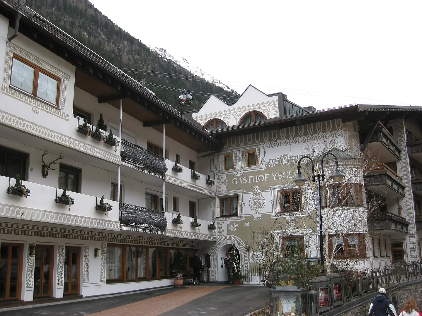
Open ledger · AOD.EU.ISCHGL.V01 · ORIGINALClose ledger · AOD.EU.ISCHGL.V01
Ledger AOD.EU.ISCHGL.V01
Ischgl 2009 town2
Photo of the town Ischgl, including a cabin leading tourists to the ski pists. This photograph is used as a geographic witness to the place, not as evidence of the historical date shown in the chapter.
- Visual description
- Photo of the town Ischgl, including a cabin leading tourists to the ski pists
- Nature
- original
- Medium
- Open-licence photograph
- Source
- Wikimedia Commons · Public domain
2020
Winter becomes organised
Six hundred infections in Austria and up to 1,200 infections in Germany and the Nordic countries were traced back to the ski resort, starting from Iceland on 1 March 2020, with transmissions occurring from late February 2020.
Sources for this chapter
THE LIVING MAP
The mapped place
Ischgl is recorded at 47.015° N, 10.295° E. Its catalogue reference reaches 2,872 metres. A modern resort map compresses terrain, exposure and access into a diagram. This exhibition keeps the underlying contour visible so the place does not become only a list of facilities.
Sources for this chapter
Open ledger · AOD.EU.ISCHGL.V00 · ORIGINALClose ledger · AOD.EU.ISCHGL.V00
Ledger AOD.EU.ISCHGL.V00
Ischgl-WV-banner
Pardorama Ischgl in winter. This photograph is used as a geographic witness to the place, not as evidence of the historical date shown in the chapter.
- Visual description
- Pardorama Ischgl in winter
- Nature
- original
- Medium
- Open-licence photograph
- Source
- Wikimedia Commons · CC0
TODAY
Ischgl now
Its ski resort is connected with that of Samnaun across the border in Switzerland to form one of the largest in the Alps.
Sources for this chapter
THE LEDGER
Sources and credits
This exhibition is built from local, institutional and sporting records. The source ledger keeps the claims visible and leaves space for correction as further local evidence emerges.
Sources for this chapter
Artefacts in order of appearance
Ischgl-WV-banner
AOD.EU.ISCHGL.V00 · original · Wikimedia Commons · CC0
Ischgl 2009 town2
AOD.EU.ISCHGL.V01 · original · Wikimedia Commons · Public domain
Editorial record
Full European Beta edition. Place evidence is adapted from the linked Ischgl overview under CC BY-SA 4.0 and remains subject to named historical and local review. Cartography is generated from the PeakWave location catalogue.