Open ledger · AOD.EU.HYERES.V00 · ORIGINALClose ledger · AOD.EU.HYERES.V00
Ledger AOD.EU.HYERES.V00
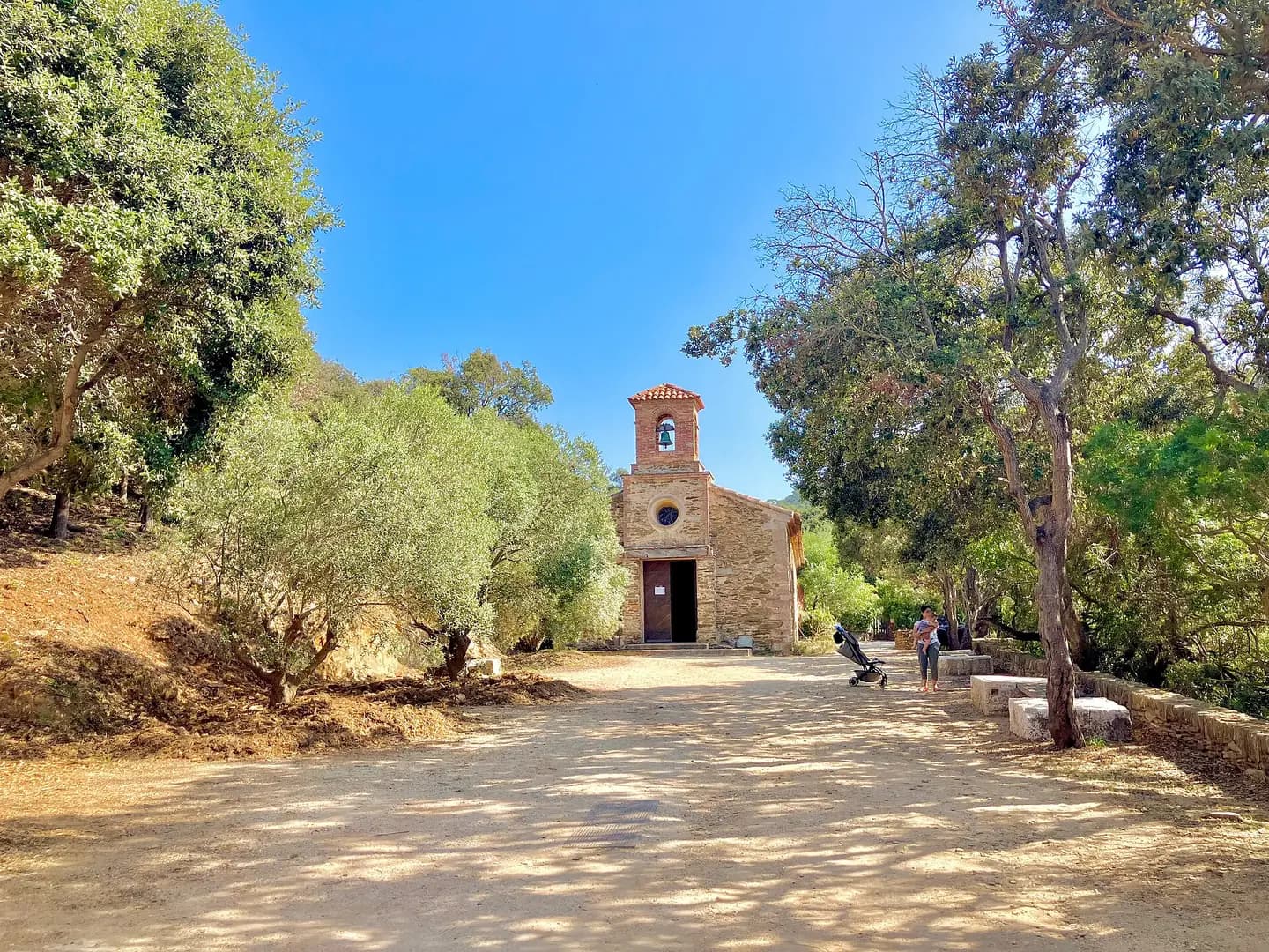
Port-Cros-Chapelle-Saint-Tropez-Promenade-de-la-Rade-Place-Abbe-Maurice-Bourgier-byRundvald
Port-Cros-Chapelle-Saint-Tropez-Promenade-de-la-Rade-Place-Abbe-Maurice-Bourgier-byRundvald. This photograph is used as a geographic witness to the place, not as evidence of the historical date shown in the chapter.
- Visual description
- Port-Cros-Chapelle-Saint-Tropez-Promenade-de-la-Rade-Place-Abbe-Maurice-Bourgier-byRundvald
- Nature
- original
- Medium
- Open-licence photograph
- Source
- Wikimedia Commons · CC BY-SA 4.0
BEFORE MODERN SPORT
Hyères
How working water, access and organised sailing shaped Hyères.
Scroll to read the water through time
The Battle of the Hyères Islands was a fleet action fought between a combined British and Neapolitan fleet and the French Mediterranean Fleet on 13 July 1795 during the French Revolutionary Wars.
Sources for this chapter
1794
A working shore
Although the French fleet, under the command of Counter-admiral Pierre Martin, made a brief sally from port in June 1794, it was not until March 1795 that it had the strength necessary for a large scale cruise.
Sources for this chapter
ACCESS CHANGES
The route to the water
The surviving overview does not identify one decisive access date for Hyères.
This edition therefore leaves that date open rather than turning gradual change into a false single event.
Sources for this chapter
Open ledger · AOD.EU.HYERES.V01 · ORIGINALClose ledger · AOD.EU.HYERES.V01
Ledger AOD.EU.HYERES.V01
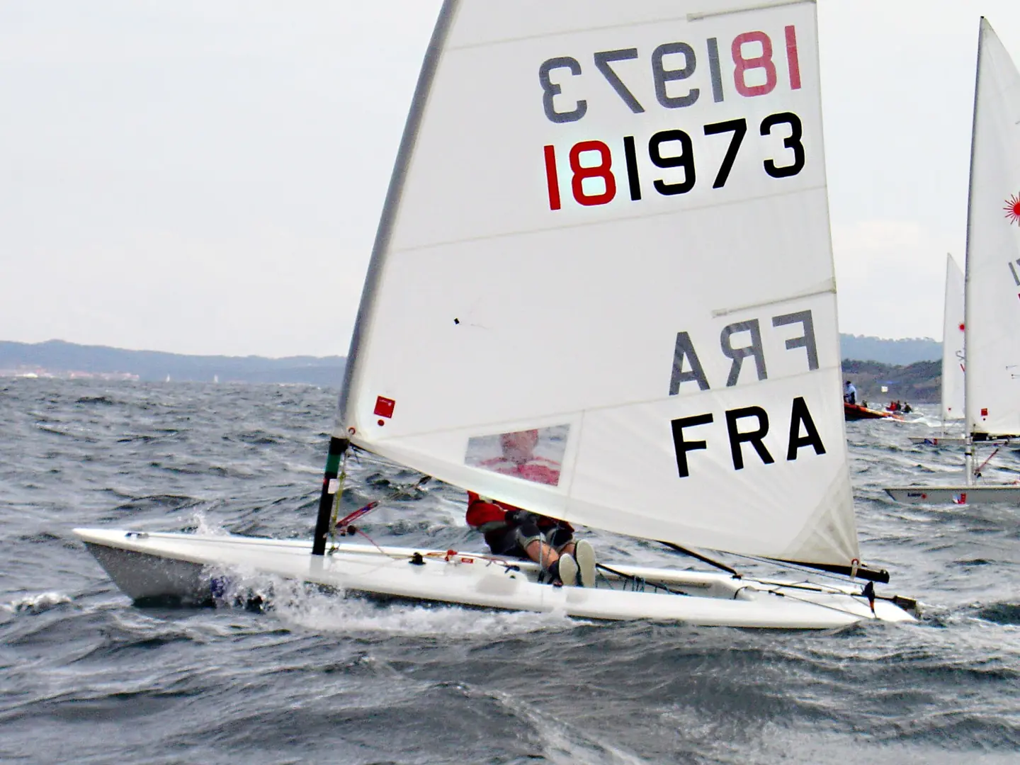
Laser standard 176548
Photo prise la veille du début de la Semaine Olympique de Hyères 2005, dans la baie d'Hyères. This photograph is used as a geographic witness to the place, not as evidence of the historical date shown in the chapter.
- Visual description
- Photo prise la veille du début de la Semaine Olympique de Hyères 2005, dans la baie d'Hyères
- Nature
- original
- Medium
- Open-licence photograph
- Source
- Wikimedia Commons · Public domain
1793
Sailing becomes organised
The Line upon a Wind: The Greatest War Fought at Sea Under Sail 1793–1815.
Sources for this chapter
THE LIVING MAP
The mapped place
Hyères is recorded at 43.100° N, 6.150° E as a coastal open venue. A course drawn here is temporary: wind, current, shore and marks determine the water that sailors actually meet.
Sources for this chapter
Open ledger · AOD.EU.HYERES.V00 · ORIGINALClose ledger · AOD.EU.HYERES.V00
Ledger AOD.EU.HYERES.V00
Port-Cros-Chapelle-Saint-Tropez-Promenade-de-la-Rade-Place-Abbe-Maurice-Bourgier-byRundvald
Port-Cros-Chapelle-Saint-Tropez-Promenade-de-la-Rade-Place-Abbe-Maurice-Bourgier-byRundvald. This photograph is used as a geographic witness to the place, not as evidence of the historical date shown in the chapter.
- Visual description
- Port-Cros-Chapelle-Saint-Tropez-Promenade-de-la-Rade-Place-Abbe-Maurice-Bourgier-byRundvald
- Nature
- original
- Medium
- Open-licence photograph
- Source
- Wikimedia Commons · CC BY-SA 4.0
TODAY
Hyères now
At this point the battling ships were approximately 12 nautical miles (22 km) southeast of Cape Roux, towards which the French, having gained the weather gage by a shift in wind to the east, were now sailing.
Sources for this chapter
THE LEDGER
Sources and credits
This exhibition is built from local, institutional and sporting records. The source ledger keeps the claims visible and leaves space for correction as further local evidence emerges.
Sources for this chapter
Artefacts in order of appearance
Port-Cros-Chapelle-Saint-Tropez-Promenade-de-la-Rade-Place-Abbe-Maurice-Bourgier-byRundvald
AOD.EU.HYERES.V00 · original · Wikimedia Commons · CC BY-SA 4.0
Laser standard 176548
AOD.EU.HYERES.V01 · original · Wikimedia Commons · Public domain
Editorial record
Full European Beta edition. Place evidence is adapted from the linked Battle of the Hyères Islands overview under CC BY-SA 4.0 and remains subject to named historical and local review. Cartography is generated from the PeakWave location catalogue.