
Open ledger · AOD.EU.HOCHZILLERTAL.V00 · ORIGINALClose ledger · AOD.EU.HOCHZILLERTAL.V00
Ledger AOD.EU.HOCHZILLERTAL.V00
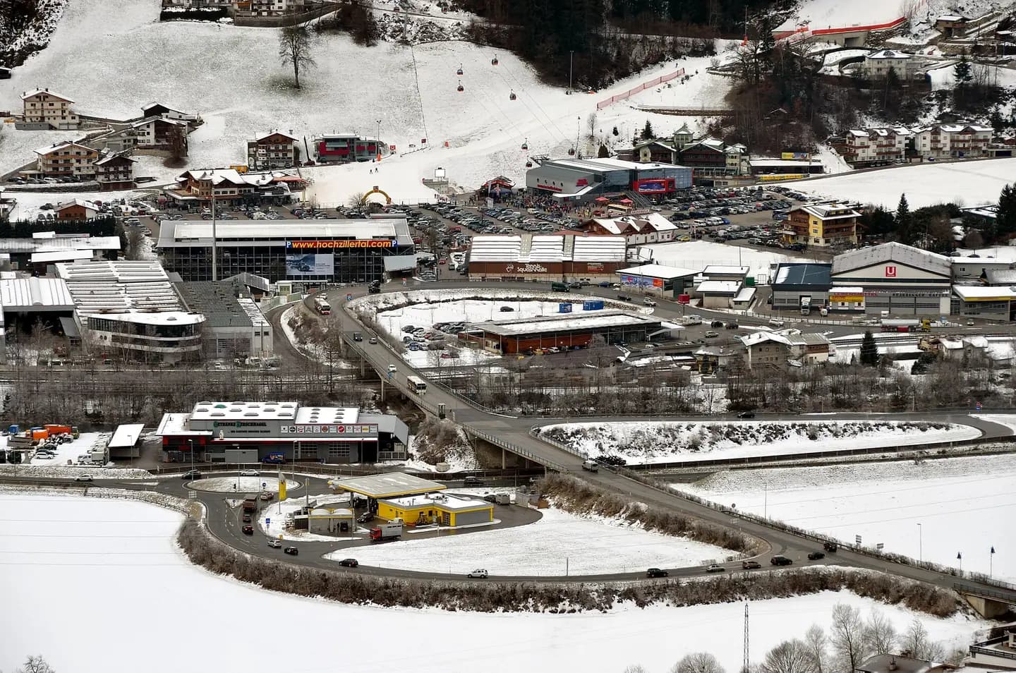
Hochzillertal Kaltenbach banner
Hochzillerta Kaltenbach, used as page banner for the Kaltenbach Wikivoyage articles. This photograph is used as a geographic witness to the place, not as evidence of the historical date shown in the chapter.
- Visual description
- Hochzillerta Kaltenbach, used as page banner for the Kaltenbach Wikivoyage articles
- Nature
- original
- Medium
- Open-licence photograph
- Source
- Wikimedia Commons · Public domain
BEFORE MODERN SPORT
Hochzillertal-Kaltenbach
How settlement, access and winter sport shaped Hochzillertal-Kaltenbach.
Scroll to read the contour through time
The Ziller Valley (German: Zillertal) is a valley in Tyrol, Austria that is drained by the Ziller River.
Sources for this chapter
1902
Work and settlement beneath the snowline
In 1902, the Ziller Valley Railway was constructed, which still runs between Jenbach and Mayrhofen to this day, opening up the valley, the economy of which had previously relied mostly on agriculture and mining, to commerce and tourism.
Sources for this chapter
1921
A route reaches Hochzillertal-Kaltenbach
From 1921 to 1976, magnesium carbonate (and later tungsten) were mined around the Alpine pastures of the Schrofen and Wangl Almen above the Tuxertal A ropeway conveyor of more than 9 km length was used to transport the ore to the Ziller Valley Railway goods station in the valley below.
Sources for this chapter
Open ledger · AOD.EU.HOCHZILLERTAL.V01 · ORIGINALClose ledger · AOD.EU.HOCHZILLERTAL.V01
Ledger AOD.EU.HOCHZILLERTAL.V01
Kaltenbach, Talstation
Ski resort Kaltenbach, Zillertal, Tyrol. Start of the cable car up to the skiing area with the Zillertal Straße (the main road), road access, parking lots and a multi-storey car park. This photograph is used as a geographic witness to the place, not as evidence of the historical date shown in the chapter.
- Visual description
- Ski resort Kaltenbach, Zillertal, Tyrol. Start of the cable car up to the skiing area with the Zillertal Straße (the main road), road access, parking lots and a multi-storey car park
- Nature
- original
- Medium
- Open-licence photograph
- Source
- Wikimedia Commons · CC BY-SA 3.0
1953
Winter becomes organised
The development of the area for tourism began in 1953/1954 with the construction of the Gerlosstein ski region, today the Zillertal Arena, which was soon followed by other lifts and the opening of the Mayrhofner Penkenbahn in 1954.
Sources for this chapter
THE LIVING MAP
The mapped place
Hochzillertal-Kaltenbach is recorded at 47.171° N, 11.877° E. Its catalogue reference reaches 2,500 metres. A modern resort map compresses terrain, exposure and access into a diagram. This exhibition keeps the underlying contour visible so the place does not become only a list of facilities.
Sources for this chapter
Open ledger · AOD.EU.HOCHZILLERTAL.V00 · ORIGINALClose ledger · AOD.EU.HOCHZILLERTAL.V00
Ledger AOD.EU.HOCHZILLERTAL.V00
Hochzillertal Kaltenbach banner
Hochzillerta Kaltenbach, used as page banner for the Kaltenbach Wikivoyage articles. This photograph is used as a geographic witness to the place, not as evidence of the historical date shown in the chapter.
- Visual description
- Hochzillerta Kaltenbach, used as page banner for the Kaltenbach Wikivoyage articles
- Nature
- original
- Medium
- Open-licence photograph
- Source
- Wikimedia Commons · Public domain
TODAY
Hochzillertal-Kaltenbach now
Following a phase of mergers by building connecting lifts during the 1990s and early 2000s, there are now four big ski areas, the largest of which is the Zillertal Arena, and three smaller satellite areas in the valley.
Sources for this chapter
THE LEDGER
Sources and credits
This exhibition is built from local, institutional and sporting records. The source ledger keeps the claims visible and leaves space for correction as further local evidence emerges.
Sources for this chapter
Artefacts in order of appearance
Hochzillertal Kaltenbach banner
AOD.EU.HOCHZILLERTAL.V00 · original · Wikimedia Commons · Public domain
Kaltenbach, Talstation
AOD.EU.HOCHZILLERTAL.V01 · original · Wikimedia Commons · CC BY-SA 3.0
Editorial record
Full European Beta edition. Place evidence is adapted from the linked Zillertal overview under CC BY-SA 4.0 and remains subject to named historical and local review. Cartography is generated from the PeakWave location catalogue.