Open ledger · AOD.UK.HAYLING-ISLAND.V00 · ORIGINALClose ledger · AOD.UK.HAYLING-ISLAND.V00
Ledger AOD.UK.HAYLING-ISLAND.V00
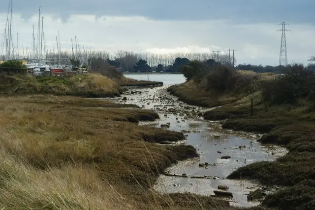
Looking Across Langstone Harbour, Hampshire
Looking Across Langstone Harbour, Hampshire. This photograph is used as a geographic witness to the place, not as evidence of the historical date shown in the chapter.
- Visual description
- Looking Across Langstone Harbour, Hampshire
- Nature
- original
- Medium
- Open-licence photograph
- Source
- Wikimedia Commons / Geograph · CC BY-SA 2.0
- Reviewed
- Josh Wildman
THE ISLAND
Hayling Island
A club that moved to Sandy Point and grew with Britain’s dinghy-sailing century.
Scroll to read the water through time
Hayling sits between Chichester Harbour and the open Channel.
Sandy Point gives direct access to sheltered water and sea conditions, allowing different kinds of racing from one shore.
Sources for this chapter
1921
A club forms after the war
Hayling Island Sailing Club formed in autumn 1921.
Its first years belonged to a wider post-war growth in small-boat leisure and local club organisation.
Sources for this chapter
1936
The move to Sandy Point
The club moved to Sandy Point in 1936.
The site changed what it could stage, bringing launching, racing water and a clear view of the harbour entrance together.
Sources for this chapter
Open ledger · AOD.UK.HAYLING-ISLAND.V01 · ORIGINALClose ledger · AOD.UK.HAYLING-ISLAND.V01
Ledger AOD.UK.HAYLING-ISLAND.V01
REE 6433
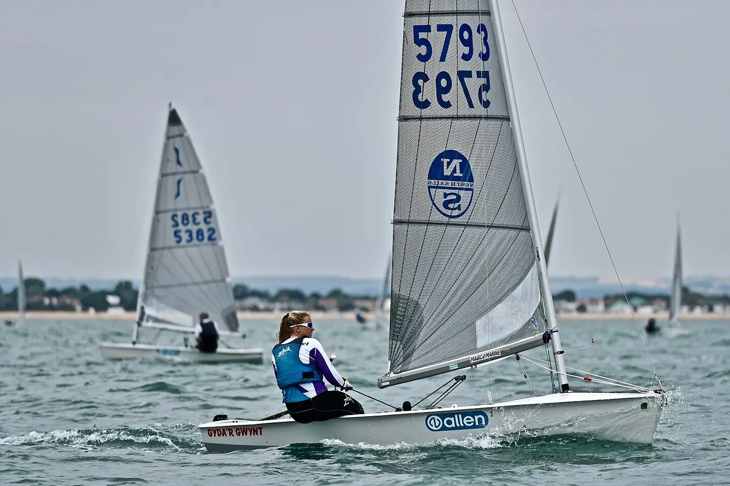
Ellie Cumpsty sailing Solo5793 at the 2018 Solo National Championships, Hayling Island, UK. This photograph is used as a geographic witness to the place, not as evidence of the historical date shown in the chapter.
- Visual description
- Ellie Cumpsty sailing Solo5793 at the 2018 Solo National Championships, Hayling Island, UK
- Nature
- original
- Medium
- Open-licence photograph
- Source
- Wikimedia Commons · CC BY-SA 4.0
- Reviewed
- Josh Wildman
1945–2003
A national dinghy venue grows
Post-war dinghy classes and larger open meetings expanded the club’s role.
A new clubhouse opened in 2003, replacing infrastructure that had grown through successive generations of sailing.
Sources for this chapter
THE LIVING MAP
The mapped place
Hayling Island is recorded at 50.780° N, 0.970° W as a coastal open venue. A course drawn here is temporary: wind, current, shore and marks determine the water that sailors actually meet.
Sources for this chapter
Open ledger · AOD.UK.HAYLING-ISLAND.V00 · ORIGINALClose ledger · AOD.UK.HAYLING-ISLAND.V00
Ledger AOD.UK.HAYLING-ISLAND.V00
Looking Across Langstone Harbour, Hampshire
Looking Across Langstone Harbour, Hampshire. This photograph is used as a geographic witness to the place, not as evidence of the historical date shown in the chapter.
- Visual description
- Looking Across Langstone Harbour, Hampshire
- Nature
- original
- Medium
- Open-licence photograph
- Source
- Wikimedia Commons / Geograph · CC BY-SA 2.0
- Reviewed
- Josh Wildman
TODAY
Two waters remain one venue
Hayling’s character still comes from the choice between harbour and open sea.
Club racing, championships and training depend on matching course and fleet to tide, wind and the harbour bar.
Sources for this chapter
THE LEDGER
Sources and credits
This exhibition is built from local, institutional and sporting records. The source ledger keeps the claims visible and leaves space for correction as further local evidence emerges.
Sources for this chapter
Artefacts in order of appearance
Looking Across Langstone Harbour, Hampshire
AOD.UK.HAYLING-ISLAND.V00 · original · Wikimedia Commons / Geograph · CC BY-SA 2.0
REE 6433
AOD.UK.HAYLING-ISLAND.V01 · original · Wikimedia Commons · CC BY-SA 4.0
Editorial record
Full UK edition. Historical claims are linked to the local, public and sporting records used to write the exhibition. Cartography is generated from the PeakWave location catalogue.