Open ledger · AOD.UK.GWITHIAN.V00 · ORIGINALClose ledger · AOD.UK.GWITHIAN.V00
Ledger AOD.UK.GWITHIAN.V00
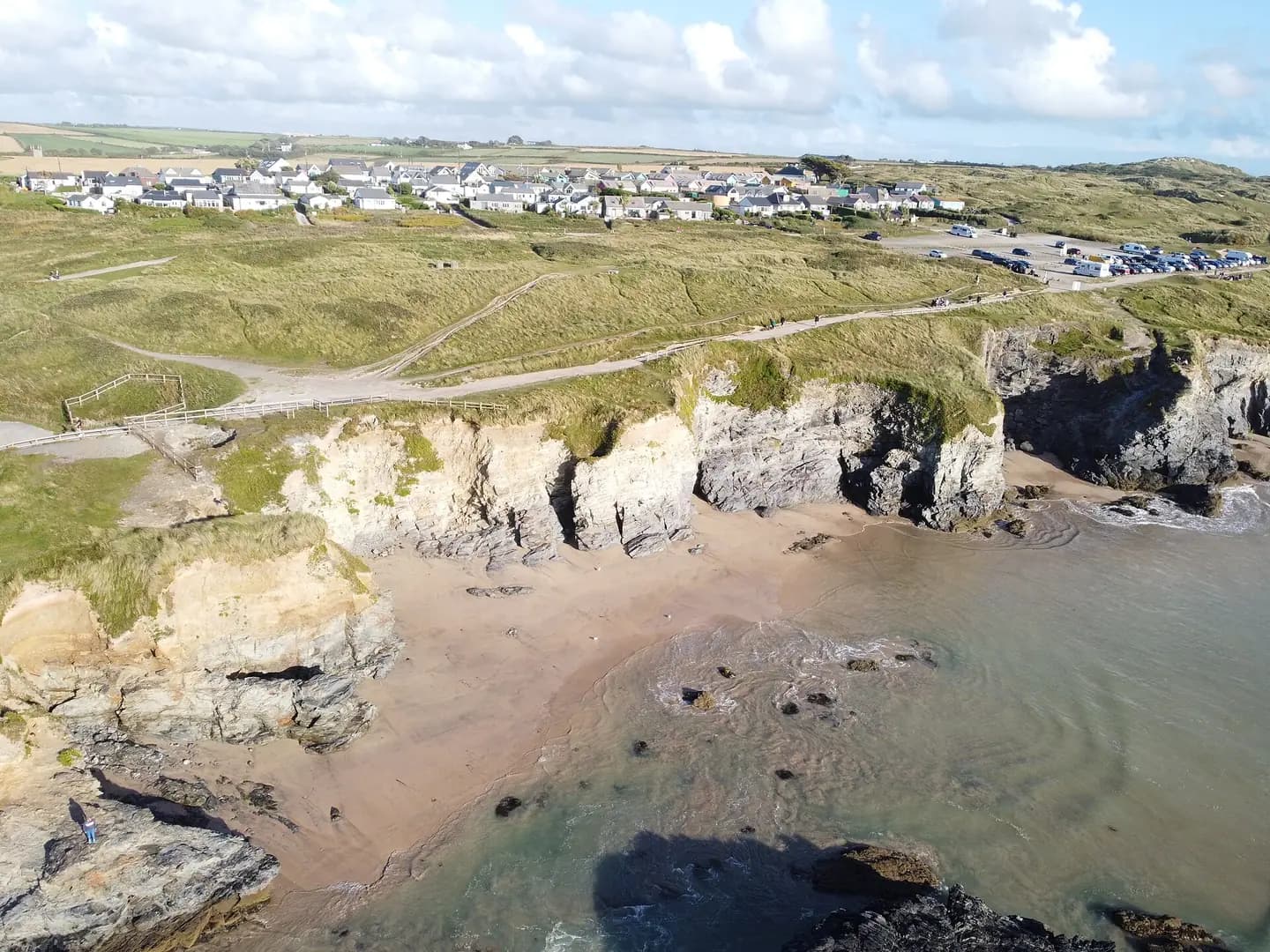
Gwithian Beach 3 by Kernow Skies
Gwithian Beach 3 by Kernow Skies. This photograph is used as a geographic witness to the place, not as evidence of the historical date shown in the chapter.
- Visual description
- Gwithian Beach 3 by Kernow Skies
- Nature
- original
- Medium
- Open-licence photograph
- Source
- Wikimedia Commons · CC BY-SA 3.0
- Reviewed
- Josh Wildman
ST IVES BAY
Gwithian
An old farming coast where dunes, mining water and surf meet St Ives Bay.
Scroll to follow the shoreline through time
Gwithian sits near the northern end of the long St Ives Bay strand.
Dunes, the Red River and Godrevy headland divide a broad beach into changing banks and coves.
Sources for this chapter
THE SMALL FARM
The headland was farmed long before tourism
Archaeology records long occupation and farming around Godrevy.
The name Godrevy is derived from a Cornish term meaning small farm, a reminder that the apparently wild headland has a worked history.
Sources for this chapter
1748–1850
Paths and a cut river changed the approach
Historic maps show the Red River once looping north of its present mouth before a new, straighter cut appeared by 1850.
Later roads, paths and the coast route connected Gwithian village to the open beach.
Open ledger · AOD.UK.GWITHIAN.V01 · ORIGINALClose ledger · AOD.UK.GWITHIAN.V01
Ledger AOD.UK.GWITHIAN.V01
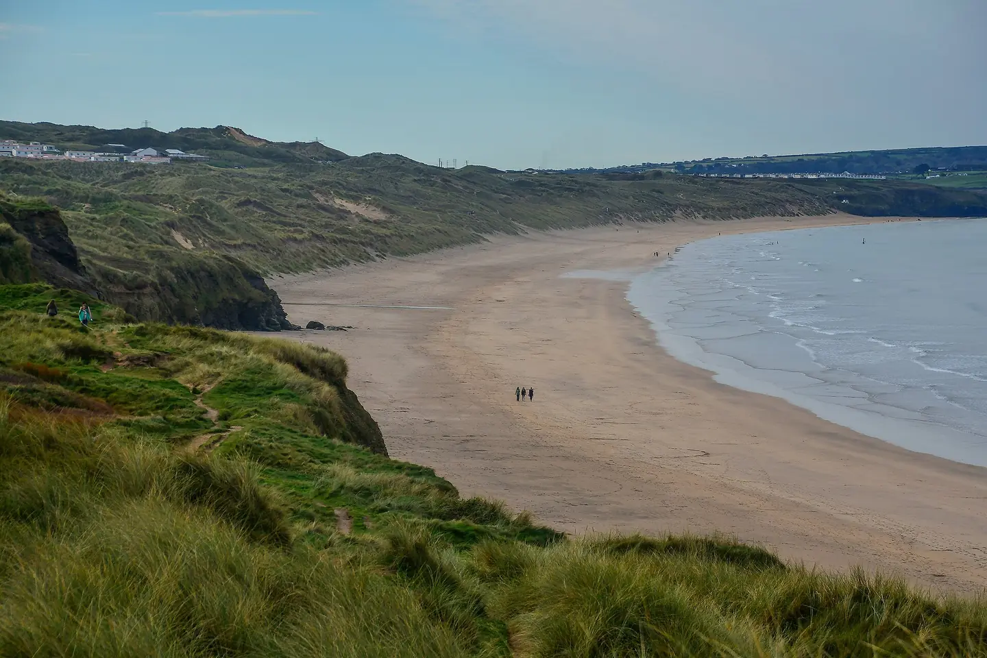
Gwithian , Upton Towans Beach
Gwithian : Upton Towans Beach. This photograph is used as a geographic witness to the place, not as evidence of the historical date shown in the chapter.
- Visual description
- Gwithian : Upton Towans Beach
- Nature
- original
- Medium
- Open-licence photograph
- Source
- Wikimedia Commons / Geograph · CC BY-SA 2.0
- Reviewed
- Josh Wildman
THE SURF YEARS
The sandbanks became the instrument
Gwithian and Godrevy became central Cornish surf beaches.
Their beachbreak depends on the quality of mobile sandbanks, so the ride is produced by the same processes that continually alter the bay.
THE LIVING MAP
The mapped place
Gwithian is recorded at 50.220° N, 5.398° W. A surf map fixes a name to one stretch of moving water, but the place changes with tide, swell direction, wind and the shape of the seabed.
Sources for this chapter
Open ledger · AOD.UK.GWITHIAN.V00 · ORIGINALClose ledger · AOD.UK.GWITHIAN.V00
Ledger AOD.UK.GWITHIAN.V00
Gwithian Beach 3 by Kernow Skies
Gwithian Beach 3 by Kernow Skies. This photograph is used as a geographic witness to the place, not as evidence of the historical date shown in the chapter.
- Visual description
- Gwithian Beach 3 by Kernow Skies
- Nature
- original
- Medium
- Open-licence photograph
- Source
- Wikimedia Commons · CC BY-SA 3.0
- Reviewed
- Josh Wildman
TODAY
Surf access and habitat share the headland
Surfers, walkers and families now use a coast also managed for rare plants, grey seals and buried archaeology.
The practical question is how to keep access without treating every dune and path as permanent.
Sources for this chapter
THE LEDGER
Sources and credits
This exhibition is built from local, institutional and sporting records. The source ledger keeps the claims visible and leaves space for correction as further local evidence emerges.
Sources for this chapter
Artefacts in order of appearance
Gwithian Beach 3 by Kernow Skies
AOD.UK.GWITHIAN.V00 · original · Wikimedia Commons · CC BY-SA 3.0
Gwithian , Upton Towans Beach
AOD.UK.GWITHIAN.V01 · original · Wikimedia Commons / Geograph · CC BY-SA 2.0
Editorial record
Full UK edition. Historical claims are linked to the local, public and sporting records used to write the exhibition. Cartography is generated from the PeakWave location catalogue.