Open ledger · AOD.UK.GLENCOE.V00 · ORIGINALClose ledger · AOD.UK.GLENCOE.V00
Ledger AOD.UK.GLENCOE.V00
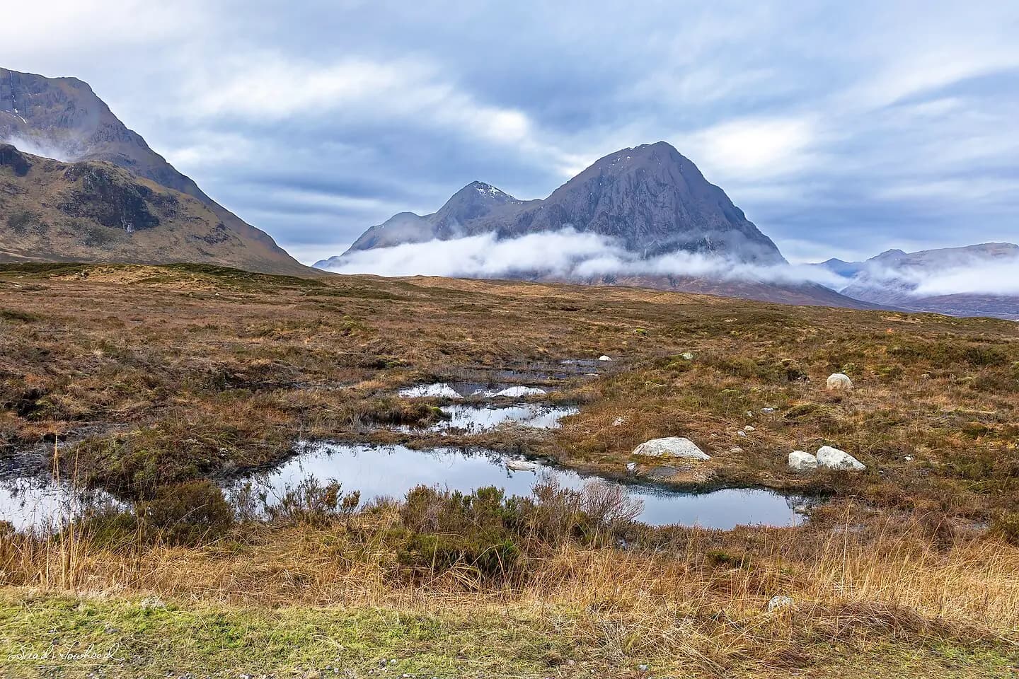
Glencoe, Scotland
Glencoe, Scotland. This photograph is used as a geographic witness to the place, not as evidence of the historical date shown in the chapter.
- Visual description
- Glencoe, Scotland
- Nature
- original
- Medium
- Open-licence photograph
- Source
- Wikimedia Commons · CC BY-SA 4.0
- Reviewed
- Josh Wildman
BEFORE THE LIFTS
Glencoe Mountain
The Scottish hill where commercial lift-served skiing began.
Scroll to read the contour through time
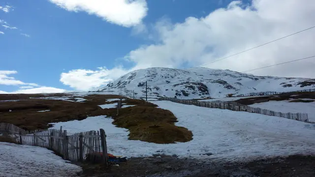
The ski area occupies Meall a’ Bhuiridh above Rannoch Moor, beside a route long defined by exposure and rapidly changing weather.
The terrain gives Glencoe its long fall line, but also sets hard limits on access and operation.
Sources for this chapter
THE EARLY NAME
The White Corries
Before it was marketed as Glencoe Mountain, the centre was known as White Corries.
The name described the snow-holding hollows that made this slope a practical candidate for organised skiing.
Sources for this chapter
1956
The first overhead lift
An overhead lift opened on Meall a’ Bhuiridh in 1956.
It made White Corries Scotland’s first commercial ski area and turned repeated uphill travel from the skier’s labour into the centre’s machinery.
Sources for this chapter
Open ledger · AOD.UK.GLENCOE.V01 · ORIGINALClose ledger · AOD.UK.GLENCOE.V01
Ledger AOD.UK.GLENCOE.V01
Meall a'Bhuiridh and Ski Tow
Meall a'Bhuiridh and Ski Tow. This photograph is used as a geographic witness to the place, not as evidence of the historical date shown in the chapter.
- Visual description
- Meall a'Bhuiridh and Ski Tow
- Nature
- original
- Medium
- Open-licence photograph
- Source
- Wikimedia Commons / Geograph · CC BY-SA 2.0
- Reviewed
- Josh Wildman
FROM 1956
A Scottish ski culture takes shape
Glencoe became a proving ground for a distinct Scottish form of lift-served skiing: variable snow, strong weather and terrain that rewards judgement rather than a promise of uniform pistes.
Sources for this chapter
THE LIVING MAP
The mapped place
Glencoe Mountain is recorded at 56.683° N, 5.106° W. Its catalogue reference reaches 1,108 metres. A modern resort map compresses terrain, exposure and access into a diagram. This exhibition keeps the underlying contour visible so the place does not become only a list of facilities.
Sources for this chapter
Open ledger · AOD.UK.GLENCOE.V00 · ORIGINALClose ledger · AOD.UK.GLENCOE.V00
Ledger AOD.UK.GLENCOE.V00
Glencoe, Scotland
Glencoe, Scotland. This photograph is used as a geographic witness to the place, not as evidence of the historical date shown in the chapter.
- Visual description
- Glencoe, Scotland
- Nature
- original
- Medium
- Open-licence photograph
- Source
- Wikimedia Commons · CC BY-SA 4.0
- Reviewed
- Josh Wildman
TODAY
A mountain used in every season
The centre now combines winter snowsports with year-round mountain activity.
Its importance lies less in size than in continuity: the place where Scottish commercial skiing began is still adapting to the same exposed hill.
Sources for this chapter
THE LEDGER
Sources and credits
This exhibition is built from local, institutional and sporting records. The source ledger keeps the claims visible and leaves space for correction as further local evidence emerges.
Sources for this chapter
Artefacts in order of appearance
Glencoe, Scotland
AOD.UK.GLENCOE.V00 · original · Wikimedia Commons · CC BY-SA 4.0
Meall a'Bhuiridh and Ski Tow
AOD.UK.GLENCOE.V01 · original · Wikimedia Commons / Geograph · CC BY-SA 2.0
Editorial record
Full UK edition. Historical claims are linked to the local, public and sporting records used to write the exhibition. Cartography is generated from the PeakWave location catalogue.