Open ledger · AOD.UK.FRESHWATER-WEST.V00 · ORIGINALClose ledger · AOD.UK.FRESHWATER-WEST.V00
Ledger AOD.UK.FRESHWATER-WEST.V00
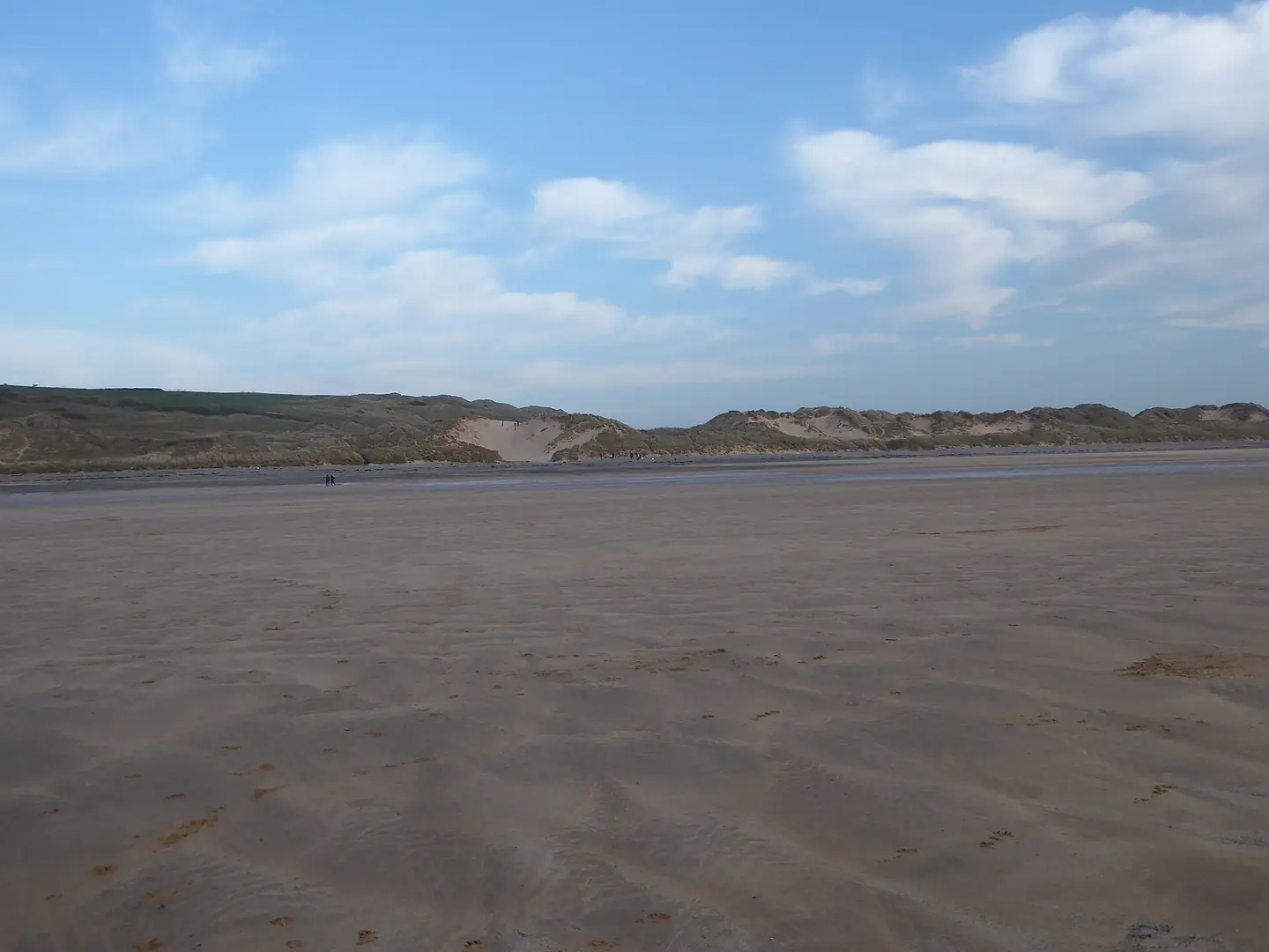
Dunes at Freshwater West
Dunes at Freshwater West. This photograph is used as a geographic witness to the place, not as evidence of the historical date shown in the chapter.
- Visual description
- Dunes at Freshwater West
- Nature
- original
- Medium
- Open-licence photograph
- Source
- Wikimedia Commons / Geograph · CC BY-SA 2.0
- Reviewed
- Josh Wildman
THE EXPOSED BEACH
Freshwater West
A powerful Pembrokeshire beach where farming, defence and experienced surfing meet.
Scroll to follow the shoreline through time
Freshwater West receives Atlantic swell across a wide beach backed by dunes.
Sandbanks, submerged rocks and strong rip currents make its power inseparable from its appeal.
Sources for this chapter
GUPTON FARM
A farm behind the dunes
Gupton Farm ties the beach to Pembrokeshire agriculture.
The National Trust’s interpretation places coastal recreation inside the longer history of a working farm and managed landscape.
Sources for this chapter
POST-WAR ACCESS
The wild beach becomes reachable
Road travel, wetsuits and portable boards allowed surfers to use exposed Pembrokeshire beaches year-round.
Freshwater West’s difficulty kept local knowledge and water safety central as participation grew.
Sources for this chapter
Open ledger · AOD.UK.FRESHWATER-WEST.V01 · ORIGINALClose ledger · AOD.UK.FRESHWATER-WEST.V01
Ledger AOD.UK.FRESHWATER-WEST.V01
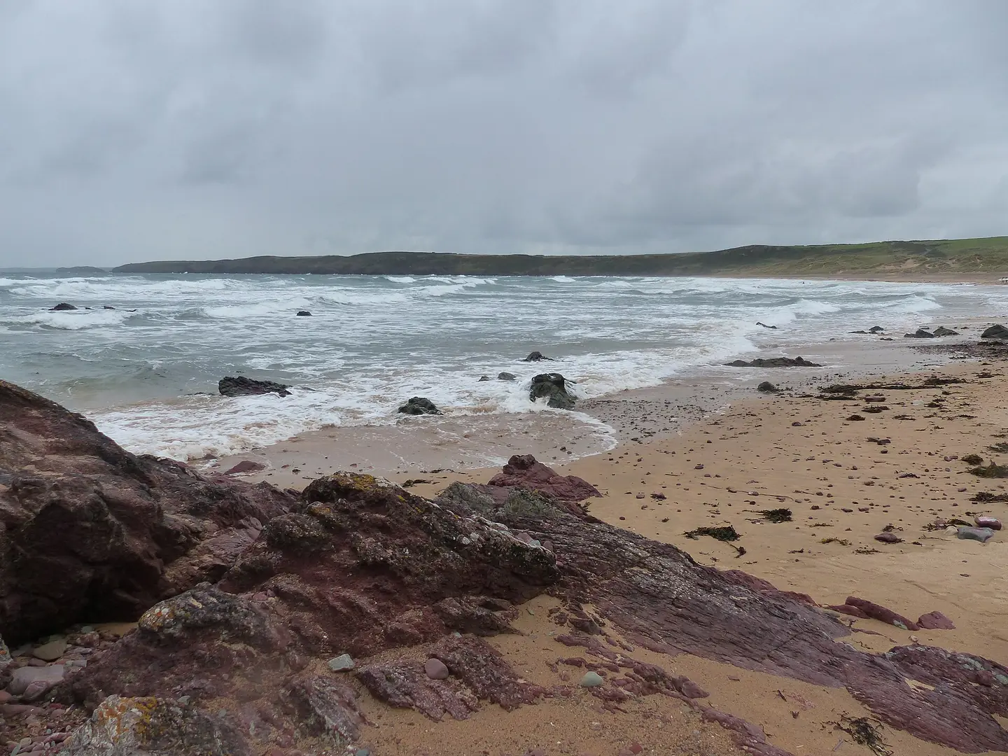
Freshwater West Beach, Pembrokeshire
Freshwater West Beach, Pembrokeshire. This photograph is used as a geographic witness to the place, not as evidence of the historical date shown in the chapter.
- Visual description
- Freshwater West Beach, Pembrokeshire
- Nature
- original
- Medium
- Open-licence photograph
- Source
- Wikimedia Commons / Geograph · CC BY-SA 2.0
- Reviewed
- Josh Wildman
THE MODERN SURF COAST
A benchmark for experienced surfers
Freshwater West became one of the reference points of Welsh surfing because its regular swell could support powerful, shifting peaks.
Reputation came with consequences: it is not a simple beginner beach.
Sources for this chapter
THE LIVING MAP
The mapped place
Freshwater West is recorded at 51.660° N, 5.087° W. A surf map fixes a name to one stretch of moving water, but the place changes with tide, swell direction, wind and the shape of the seabed.
Sources for this chapter
Open ledger · AOD.UK.FRESHWATER-WEST.V00 · ORIGINALClose ledger · AOD.UK.FRESHWATER-WEST.V00
Ledger AOD.UK.FRESHWATER-WEST.V00
Dunes at Freshwater West
Dunes at Freshwater West. This photograph is used as a geographic witness to the place, not as evidence of the historical date shown in the chapter.
- Visual description
- Dunes at Freshwater West
- Nature
- original
- Medium
- Open-licence photograph
- Source
- Wikimedia Commons / Geograph · CC BY-SA 2.0
- Reviewed
- Josh Wildman
TODAY
Access paired with warning
The beach now supports lifeguarding, surf instruction and a visitor base at Gupton Farm, while official guidance remains unusually direct about rips, rocks and forceful waves.
That honesty is part of the place’s identity.
Sources for this chapter
THE LEDGER
Sources and credits
This exhibition is built from local, institutional and sporting records. The source ledger keeps the claims visible and leaves space for correction as further local evidence emerges.
Sources for this chapter
Artefacts in order of appearance
Dunes at Freshwater West
AOD.UK.FRESHWATER-WEST.V00 · original · Wikimedia Commons / Geograph · CC BY-SA 2.0
Freshwater West Beach, Pembrokeshire
AOD.UK.FRESHWATER-WEST.V01 · original · Wikimedia Commons / Geograph · CC BY-SA 2.0
Editorial record
Full UK edition. Historical claims are linked to the local, public and sporting records used to write the exhibition. Cartography is generated from the PeakWave location catalogue.