Open ledger · AOD.UK.FRASERBURGH.V00 · ORIGINALClose ledger · AOD.UK.FRASERBURGH.V00
Ledger AOD.UK.FRASERBURGH.V00
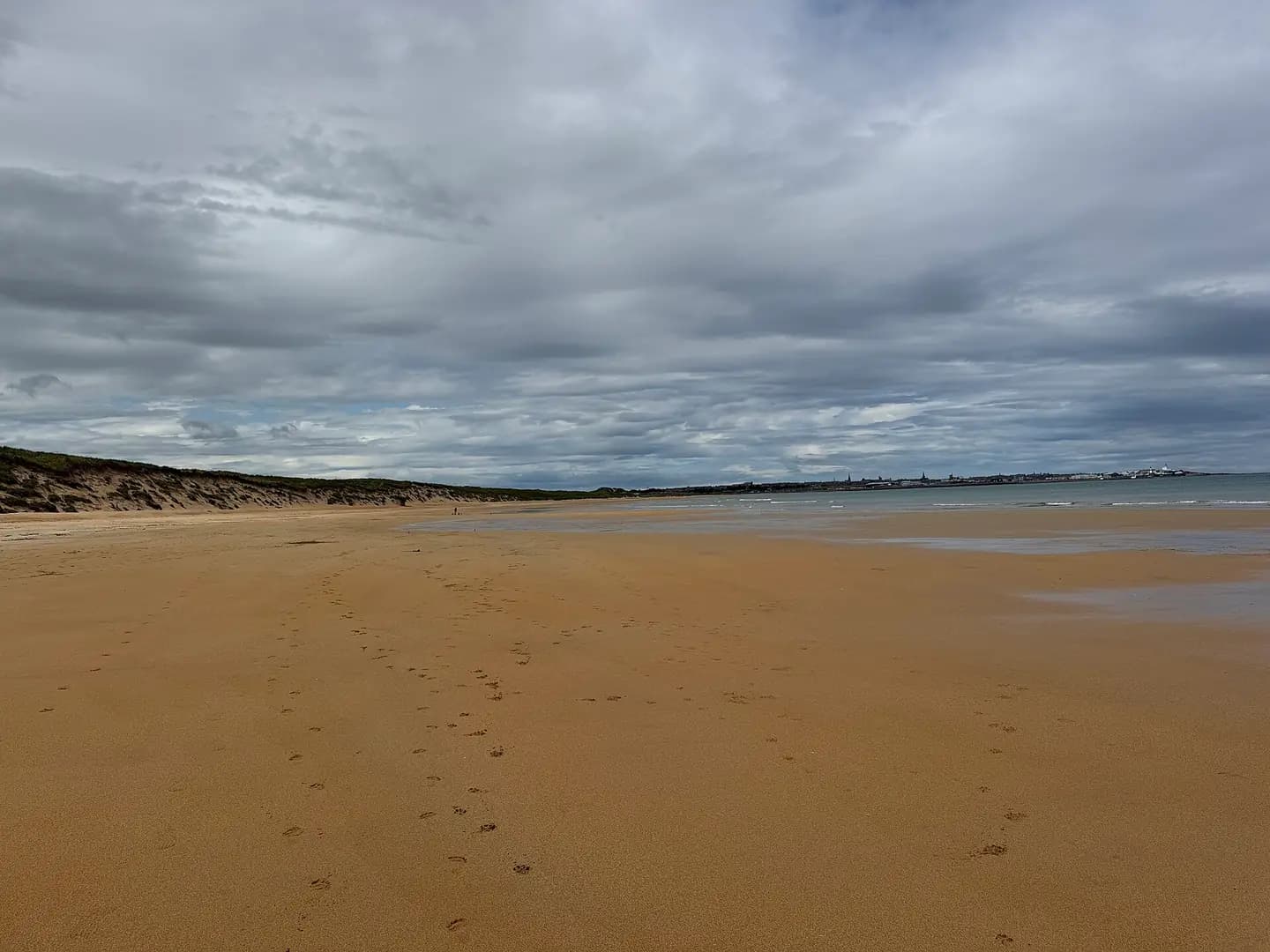
Fraserburgh Bay beach
Fraserburgh Bay beach. This photograph is used as a geographic witness to the place, not as evidence of the historical date shown in the chapter.
- Visual description
- Fraserburgh Bay beach
- Nature
- original
- Medium
- Open-licence photograph
- Source
- Wikimedia Commons / Geograph · CC BY-SA 2.0
- Reviewed
- Josh Wildman
THE NORTH-EAST COAST
Fraserburgh
A fishing town that helped establish organised surfing in Scotland.
Scroll to follow the shoreline through time
Fraserburgh’s sand and dunes sit beside one of north-east Scotland’s major fishing towns.
Surfing grew here within sight of a harbour economy, not in a purpose-built beach resort.
Sources for this chapter
THE FISHING TOWN
The town faces the sea for work
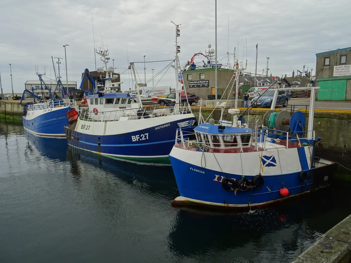
Fishing, boat services and coastal rescue shaped Fraserburgh’s identity.
The Heritage Centre preserves that working history alongside the later story of the beach.
Sources for this chapter
MID-1960s–1975
Scotland’s early surfers gather
Small groups began surfing around Fraserburgh in the mid to late 1960s.
The 1975 Scottish Championships here helped prompt the formation of a national federation.
Sources for this chapter
Open ledger · AOD.UK.FRASERBURGH.V01 · ORIGINALClose ledger · AOD.UK.FRASERBURGH.V01
Ledger AOD.UK.FRASERBURGH.V01
Fishing vessels in the harbour at Fraserburgh
Fishing vessels in the harbour at Fraserburgh. This photograph is used as a geographic witness to the place, not as evidence of the historical date shown in the chapter.
- Visual description
- Fishing vessels in the harbour at Fraserburgh
- Nature
- original
- Medium
- Open-licence photograph
- Source
- Wikimedia Commons / Geograph · CC BY-SA 2.0
- Reviewed
- Josh Wildman
1975–1992
A championship home
Fraserburgh joined Thurso and Pease Bay in the rotating Scottish championships.
It hosted again in 1978 and staged the British Championships in 1992, placing the beach in a wider competitive network.
Sources for this chapter
THE LIVING MAP
The mapped place
Fraserburgh is recorded at 57.688° N, 2.005° W. A surf map fixes a name to one stretch of moving water, but the place changes with tide, swell direction, wind and the shape of the seabed.
Sources for this chapter
Open ledger · AOD.UK.FRASERBURGH.V00 · ORIGINALClose ledger · AOD.UK.FRASERBURGH.V00
Ledger AOD.UK.FRASERBURGH.V00
Fraserburgh Bay beach
Fraserburgh Bay beach. This photograph is used as a geographic witness to the place, not as evidence of the historical date shown in the chapter.
- Visual description
- Fraserburgh Bay beach
- Nature
- original
- Medium
- Open-licence photograph
- Source
- Wikimedia Commons / Geograph · CC BY-SA 2.0
- Reviewed
- Josh Wildman
TODAY
Surfing becomes part of the town’s public story
Aberdeenshire’s beach planning now recognises surfing as one of Fraserburgh’s defining assets.
The local story is not a replacement for fishing history but another way the town uses the same coast.
Sources for this chapter
THE LEDGER
Sources and credits
This exhibition is built from local, institutional and sporting records. The source ledger keeps the claims visible and leaves space for correction as further local evidence emerges.
Sources for this chapter
Artefacts in order of appearance
Fraserburgh Bay beach
AOD.UK.FRASERBURGH.V00 · original · Wikimedia Commons / Geograph · CC BY-SA 2.0
Fishing vessels in the harbour at Fraserburgh
AOD.UK.FRASERBURGH.V01 · original · Wikimedia Commons / Geograph · CC BY-SA 2.0
Editorial record
Full UK edition. Historical claims are linked to the local, public and sporting records used to write the exhibition. Cartography is generated from the PeakWave location catalogue.