Open ledger · AOD.US.FOLLY-BEACH.V00 · ORIGINALClose ledger · AOD.US.FOLLY-BEACH.V00
Ledger AOD.US.FOLLY-BEACH.V00
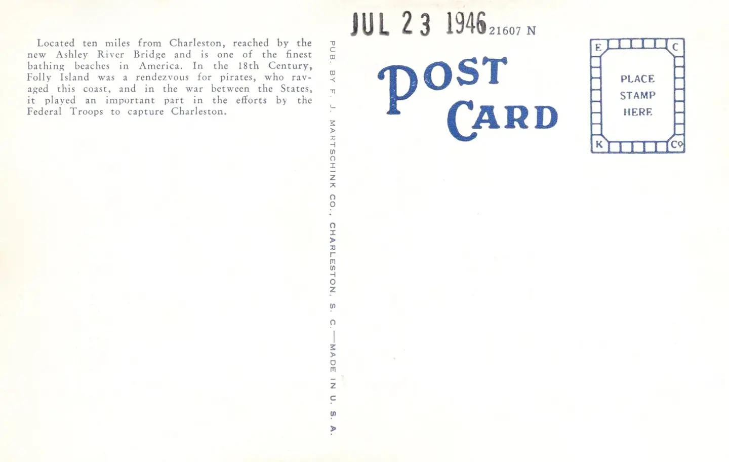
Folly Beach - A Sunday afternoon crowd in surf bathing 02
Photomechanical print (postcard) : halftone, colored Divided back No. 67. This photograph is used as a geographic witness to the place, not as evidence of the historical date shown in the chapter.
- Visual description
- Photomechanical print (postcard) : halftone, colored Divided back No. 67
- Nature
- original
- Medium
- Open-licence photograph
- Source
- Wikimedia Commons · Public domain
BEFORE MODERN SPORT
Folly Beach
How work, access and surfing shaped Folly Beach.
Scroll to follow the shoreline through time
Folly Beach is a public city on Folly Island in Charleston County, South Carolina, United States.
Sources for this chapter
BEFORE TOURISM
Before the surf map
The linked local overview does not preserve a clear account of Folly Beach before modern tourism.
This edition leaves that part of the timeline open rather than mistaking the first surviving sporting reference for the beginning of the place.
Sources for this chapter
ACCESS CHANGES
The shore becomes reachable
Folly Beach is an eclectic beach community with surf shops, restaurants, gift shops, offices, and bars along centre Street; the main road and gateway to the community.
Open ledger · AOD.US.FOLLY-BEACH.V01 · ORIGINALClose ledger · AOD.US.FOLLY-BEACH.V01
Ledger AOD.US.FOLLY-BEACH.V01
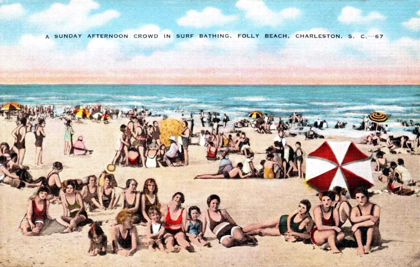
Folly Beach - A Sunday afternoon crowd in surf bathing 01
Photomechanical print (postcard) : halftone, colored Divided back No. 67. This photograph is used as a geographic witness to the place, not as evidence of the historical date shown in the chapter.
- Visual description
- Photomechanical print (postcard) : halftone, colored Divided back No. 67
- Nature
- original
- Medium
- Open-licence photograph
- Source
- Wikimedia Commons · Public domain
ORGANISED SPORT
Surfing reads the same coast differently
Known to Charleston locals as "the Edge of America", Folly Beach is home to numerous surf spots, the most popular being the Washout, 10th Street and the Folly Beach Pier.
THE LIVING MAP
The mapped place
Folly Beach is recorded at 32.654° N, 79.942° W. A surf map fixes a name to one stretch of moving water, but the place changes with tide, swell direction, wind and the shape of the seabed.
Sources for this chapter
Open ledger · AOD.US.FOLLY-BEACH.V00 · ORIGINALClose ledger · AOD.US.FOLLY-BEACH.V00
Ledger AOD.US.FOLLY-BEACH.V00
Folly Beach - A Sunday afternoon crowd in surf bathing 02
Photomechanical print (postcard) : halftone, colored Divided back No. 67. This photograph is used as a geographic witness to the place, not as evidence of the historical date shown in the chapter.
- Visual description
- Photomechanical print (postcard) : halftone, colored Divided back No. 67
- Nature
- original
- Medium
- Open-licence photograph
- Source
- Wikimedia Commons · Public domain
TODAY
Folly Beach now
Despite its usually calm conditions, Folly Beach has gained prominence as one of the more popular surf spots along the East Coast.
THE LEDGER
Sources and credits
This exhibition is built from local, institutional and sporting records. The source ledger keeps the claims visible and leaves space for correction as further local evidence emerges.
Sources for this chapter
Artefacts in order of appearance
Folly Beach - A Sunday afternoon crowd in surf bathing 02
AOD.US.FOLLY-BEACH.V00 · original · Wikimedia Commons · Public domain
Folly Beach - A Sunday afternoon crowd in surf bathing 01
AOD.US.FOLLY-BEACH.V01 · original · Wikimedia Commons · Public domain
Editorial record
Full US Beta edition. Place evidence is adapted from the linked Folly Beach, South Carolina overview under CC BY-SA 4.0 and remains subject to named historical and local review. Cartography is generated from the PeakWave location catalogue.