Open ledger · AOD.EU.FOLGARIA.V00 · ORIGINALClose ledger · AOD.EU.FOLGARIA.V00
Ledger AOD.EU.FOLGARIA.V00
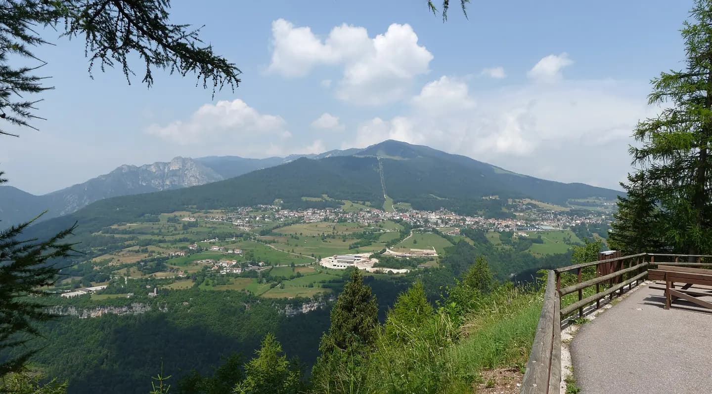
Folgaria-panorama from Serrada
Folgaria (Italy): panorama of Folgaria near the village of Serrada. This photograph is used as a geographic witness to the place, not as evidence of the historical date shown in the chapter.
- Visual description
- Folgaria (Italy): panorama of Folgaria near the village of Serrada
- Nature
- original
- Medium
- Open-licence photograph
- Source
- Wikimedia Commons · CC BY-SA 3.0
BEFORE MODERN SPORT
Folgaria
How settlement, access and winter sport shaped Folgaria.
Scroll to read the contour through time
Folgaria (Fólgaria in Trentino Dialect, Folgrait in Cimbrian) is an Italian municipality with 3,161 inhabitants in the Autonomous Province of Trento in Trentino-South Tyrol.
Sources for this chapter
1196
Work and settlement beneath the snowline
The name, first mentioned in 1196 as Fulgarida, derives from the Latin *filicāria, from filex meaning "fern".
Sources for this chapter
ACCESS CHANGES
A route reaches Folgaria
The surviving overview does not identify one decisive access date for Folgaria.
This edition therefore leaves that date open rather than turning gradual change into a false single event.
Sources for this chapter
Open ledger · AOD.EU.FOLGARIA.V01 · ORIGINALClose ledger · AOD.EU.FOLGARIA.V01
Ledger AOD.EU.FOLGARIA.V01
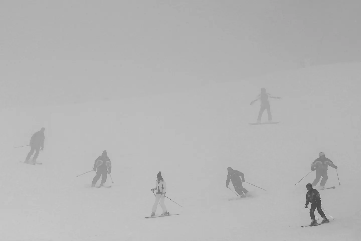
Ombre
Ombre. This photograph is used as a geographic witness to the place, not as evidence of the historical date shown in the chapter.
- Visual description
- Ombre
- Nature
- original
- Medium
- Open-licence photograph
- Source
- Wikimedia Commons · CC BY-SA 2.0
1168
Winter becomes organised
The municipality is located on the western slope of the Magnifica Comunità degli Altipiani cimbri, near the Vallagarina, at an altitude of 1168 metres above sea level at the foot of Mount Cornetto (2060 m in the Vigolana Mountain Range), along the right bank of the Rio Cavallo, a stream that flows through the eponymous valley down to Calliano.
Sources for this chapter
THE LIVING MAP
The mapped place
Folgaria is recorded at 45.919° N, 11.179° E. Its catalogue reference reaches 1,820 metres. A modern resort map compresses terrain, exposure and access into a diagram. This exhibition keeps the underlying contour visible so the place does not become only a list of facilities.
Sources for this chapter
Open ledger · AOD.EU.FOLGARIA.V00 · ORIGINALClose ledger · AOD.EU.FOLGARIA.V00
Ledger AOD.EU.FOLGARIA.V00
Folgaria-panorama from Serrada
Folgaria (Italy): panorama of Folgaria near the village of Serrada. This photograph is used as a geographic witness to the place, not as evidence of the historical date shown in the chapter.
- Visual description
- Folgaria (Italy): panorama of Folgaria near the village of Serrada
- Nature
- original
- Medium
- Open-licence photograph
- Source
- Wikimedia Commons · CC BY-SA 3.0
TODAY
Folgaria now
The area was impacted by the Cimbri colonisation, which led to the formation of several modern municipalities in the Folgaria area.
Sources for this chapter
THE LEDGER
Sources and credits
This exhibition is built from local, institutional and sporting records. The source ledger keeps the claims visible and leaves space for correction as further local evidence emerges.
Sources for this chapter
Artefacts in order of appearance
Folgaria-panorama from Serrada
AOD.EU.FOLGARIA.V00 · original · Wikimedia Commons · CC BY-SA 3.0
Ombre
AOD.EU.FOLGARIA.V01 · original · Wikimedia Commons · CC BY-SA 2.0
Editorial record
Full European Beta edition. Place evidence is adapted from the linked Folgaria overview under CC BY-SA 4.0 and remains subject to named historical and local review. Cartography is generated from the PeakWave location catalogue.