Open ledger · AOD.UK.FILEY.V00 · ORIGINALClose ledger · AOD.UK.FILEY.V00
Ledger AOD.UK.FILEY.V00
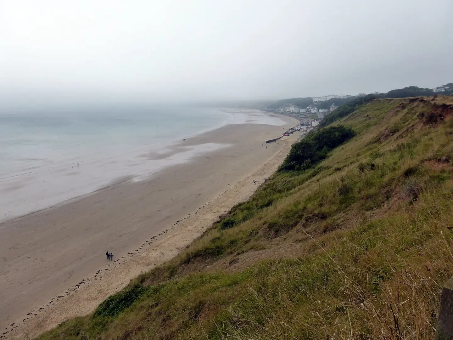
Filey Beach from the Country Park
Filey Beach from the Country Park. This photograph is used as a geographic witness to the place, not as evidence of the historical date shown in the chapter.
- Visual description
- Filey Beach from the Country Park
- Nature
- original
- Medium
- Open-licence photograph
- Source
- Wikimedia Commons / Geograph · CC BY-SA 2.0
- Reviewed
- Josh Wildman
THE BAY
Filey
A fishing settlement, select resort and wide Yorkshire bay that later added surfing to its shore.
Scroll to follow the shoreline through time
Filey’s broad sand ends at Filey Brigg, a long rocky headland.
The sheltered sweep supported beach-launched boats and later gave windsurfing and surfing more room than the neighbouring urban bays.
Sources for this chapter
DOMESDAY–18th CENTURY
Nine centuries of land and sea
Filey was recorded at Domesday and medieval records show local fish being landed in Whitby and Grimsby.
Farming and coble fishing supported the community for centuries.
Sources for this chapter
1835–1850
The Crescent and the railway
John Wilkes Unett’s Crescent and the Royal Crescent Hotel helped recast Filey as a select resort.
The railway arrived in 1846, making the quiet bay a repeatable escape from larger industrial towns.
Sources for this chapter
Open ledger · AOD.UK.FILEY.V01 · ORIGINALClose ledger · AOD.UK.FILEY.V01
Ledger AOD.UK.FILEY.V01
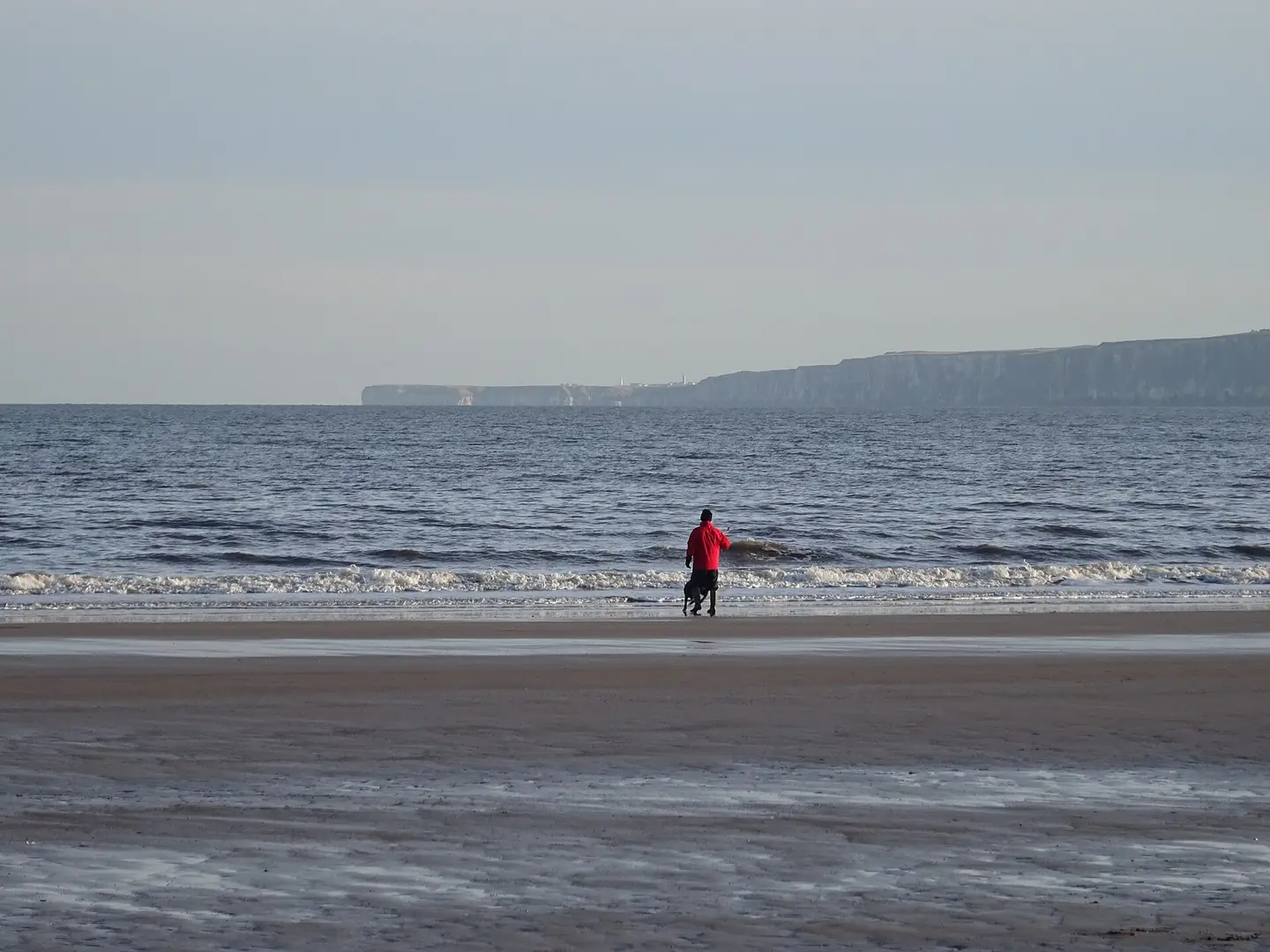
Beach at low tide, Filey
Beach at low tide, Filey. This photograph is used as a geographic witness to the place, not as evidence of the historical date shown in the chapter.
- Visual description
- Beach at low tide, Filey
- Nature
- original
- Medium
- Open-licence photograph
- Source
- Wikimedia Commons / Geograph · CC BY-SA 2.0
- Reviewed
- Josh Wildman
THE SURF ERA
A wide beach joins the surf coast
As cold-water surfing spread, Filey’s long open beach became useful for learning, windsurfing and storm swells.
It developed as the broad alternative to Scarborough’s tighter urban breaks.
THE LIVING MAP
The mapped place
Filey is recorded at 54.210° N, 0.276° W. A surf map fixes a name to one stretch of moving water, but the place changes with tide, swell direction, wind and the shape of the seabed.
Sources for this chapter
Open ledger · AOD.UK.FILEY.V00 · ORIGINALClose ledger · AOD.UK.FILEY.V00
Ledger AOD.UK.FILEY.V00
Filey Beach from the Country Park
Filey Beach from the Country Park. This photograph is used as a geographic witness to the place, not as evidence of the historical date shown in the chapter.
- Visual description
- Filey Beach from the Country Park
- Nature
- original
- Medium
- Open-licence photograph
- Source
- Wikimedia Commons / Geograph · CC BY-SA 2.0
- Reviewed
- Josh Wildman
TODAY
Fishing and leisure remain side by side
Filey remains a traditional resort where cobles, beach recreation and board sports share one shore.
Its history is not a simple replacement of work by leisure but a continuing overlap.
Sources for this chapter
THE LEDGER
Sources and credits
This exhibition is built from local, institutional and sporting records. The source ledger keeps the claims visible and leaves space for correction as further local evidence emerges.
Sources for this chapter
Artefacts in order of appearance
Filey Beach from the Country Park
AOD.UK.FILEY.V00 · original · Wikimedia Commons / Geograph · CC BY-SA 2.0
Beach at low tide, Filey
AOD.UK.FILEY.V01 · original · Wikimedia Commons / Geograph · CC BY-SA 2.0
Editorial record
Full UK edition. Historical claims are linked to the local, public and sporting records used to write the exhibition. Cartography is generated from the PeakWave location catalogue.