Open ledger · AOD.EU.ERICEIRA.V00 · ORIGINALClose ledger · AOD.EU.ERICEIRA.V00
Ledger AOD.EU.ERICEIRA.V00
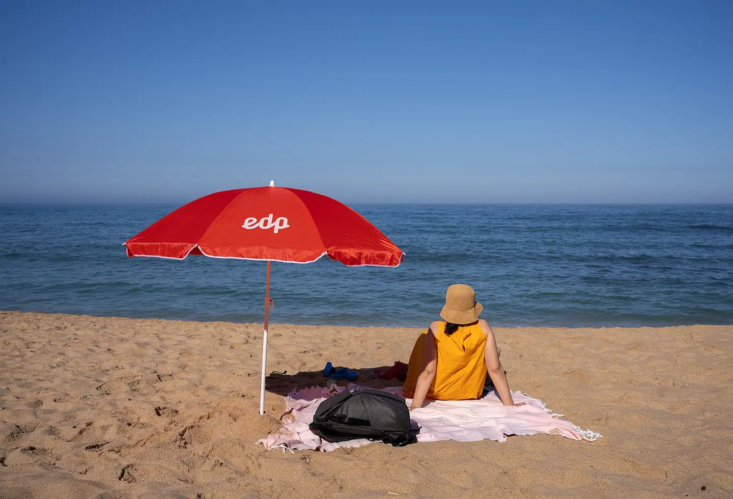
Jules next to a beach umbrella, Praia da Baleia, Ericeira, Portugal julesvernex2
Jules next to a beach umbrella, Praia da Baleia, Ericeira, Portugal. This photograph is used as a geographic witness to the place, not as evidence of the historical date shown in the chapter.
- Visual description
- Jules next to a beach umbrella, Praia da Baleia, Ericeira, Portugal
- Nature
- original
- Medium
- Open-licence photograph
- Source
- Wikimedia Commons · CC BY-SA 4.0
BEFORE MODERN SPORT
Ericeira
How work, access and surfing shaped Ericeira.
Scroll to follow the shoreline through time
Ericeira is a civil parish and seaside community on the western coast of Portugal (in Mafra municipality, located 35km northwest of the centre of Lisbon, about 45km by road) considered the surfing capital of Europe.
Sources for this chapter
BEFORE TOURISM
Work at the water’s edge
The ancient settlement presumably dates from the passage and colonisation of the Phoenicians.
Sources for this chapter
ACCESS CHANGES
The shore becomes reachable
With the construction of the western railway and the development of land transport, the port of Ericeira lost much of its importance.
Sources for this chapter
Open ledger · AOD.EU.ERICEIRA.V01 · ORIGINALClose ledger · AOD.EU.ERICEIRA.V01
Ledger AOD.EU.ERICEIRA.V01
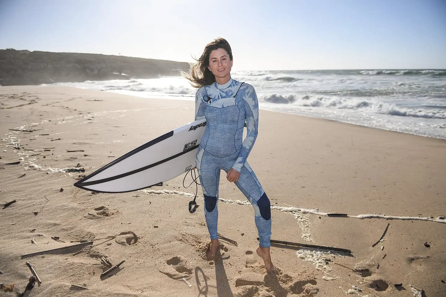
Web Summit 2017 - Surf Summit SM1 2988
5 November 2017; Anastasia Ashley, Pro Surfer, at Foz do Lizandro during day two of Surf Summit, prior to Web Summit 2017, in Ericeira, Portugal. Photo by Stephen McCarthy/Web Summit via Sportsfile. This photograph is used as a geographic witness to the place, not as evidence of the historical date shown in the chapter.
- Visual description
- 5 November 2017; Anastasia Ashley, Pro Surfer, at Foz do Lizandro during day two of Surf Summit, prior to Web Summit 2017, in Ericeira, Portugal. Photo by Stephen McCarthy/Web Summit via Sportsfile
- Nature
- original
- Medium
- Open-licence photograph
- Source
- Wikimedia Commons · CC BY 2.0
1993
Surfing reads the same coast differently
Founded in 1993, it developed from the surfing unit of the Ericeira Naval Club, which organised local, regional and national competitions in surf, bodyboard, kneeboard and longboard throughout the years.
Sources for this chapter
THE LIVING MAP
The mapped place
Ericeira is recorded at 38.963° N, 9.418° W. A surf map fixes a name to one stretch of moving water, but the place changes with tide, swell direction, wind and the shape of the seabed.
Sources for this chapter
Open ledger · AOD.EU.ERICEIRA.V00 · ORIGINALClose ledger · AOD.EU.ERICEIRA.V00
Ledger AOD.EU.ERICEIRA.V00
Jules next to a beach umbrella, Praia da Baleia, Ericeira, Portugal julesvernex2
Jules next to a beach umbrella, Praia da Baleia, Ericeira, Portugal. This photograph is used as a geographic witness to the place, not as evidence of the historical date shown in the chapter.
- Visual description
- Jules next to a beach umbrella, Praia da Baleia, Ericeira, Portugal
- Nature
- original
- Medium
- Open-licence photograph
- Source
- Wikimedia Commons · CC BY-SA 4.0
TODAY
Ericeira now
Ericeira is the home to Portugal's first/largest surfing association/club, the Ericeira Surf Clube.
Sources for this chapter
THE LEDGER
Sources and credits
This exhibition is built from local, institutional and sporting records. The source ledger keeps the claims visible and leaves space for correction as further local evidence emerges.
Sources for this chapter
Artefacts in order of appearance
Jules next to a beach umbrella, Praia da Baleia, Ericeira, Portugal julesvernex2
AOD.EU.ERICEIRA.V00 · original · Wikimedia Commons · CC BY-SA 4.0
Web Summit 2017 - Surf Summit SM1 2988
AOD.EU.ERICEIRA.V01 · original · Wikimedia Commons · CC BY 2.0
Editorial record
Full European Beta edition. Place evidence is adapted from the linked Ericeira overview under CC BY-SA 4.0 and remains subject to named historical and local review. Cartography is generated from the PeakWave location catalogue.