Open ledger · AOD.UK.EOROPIE.V00 · ORIGINALClose ledger · AOD.UK.EOROPIE.V00
Ledger AOD.UK.EOROPIE.V00
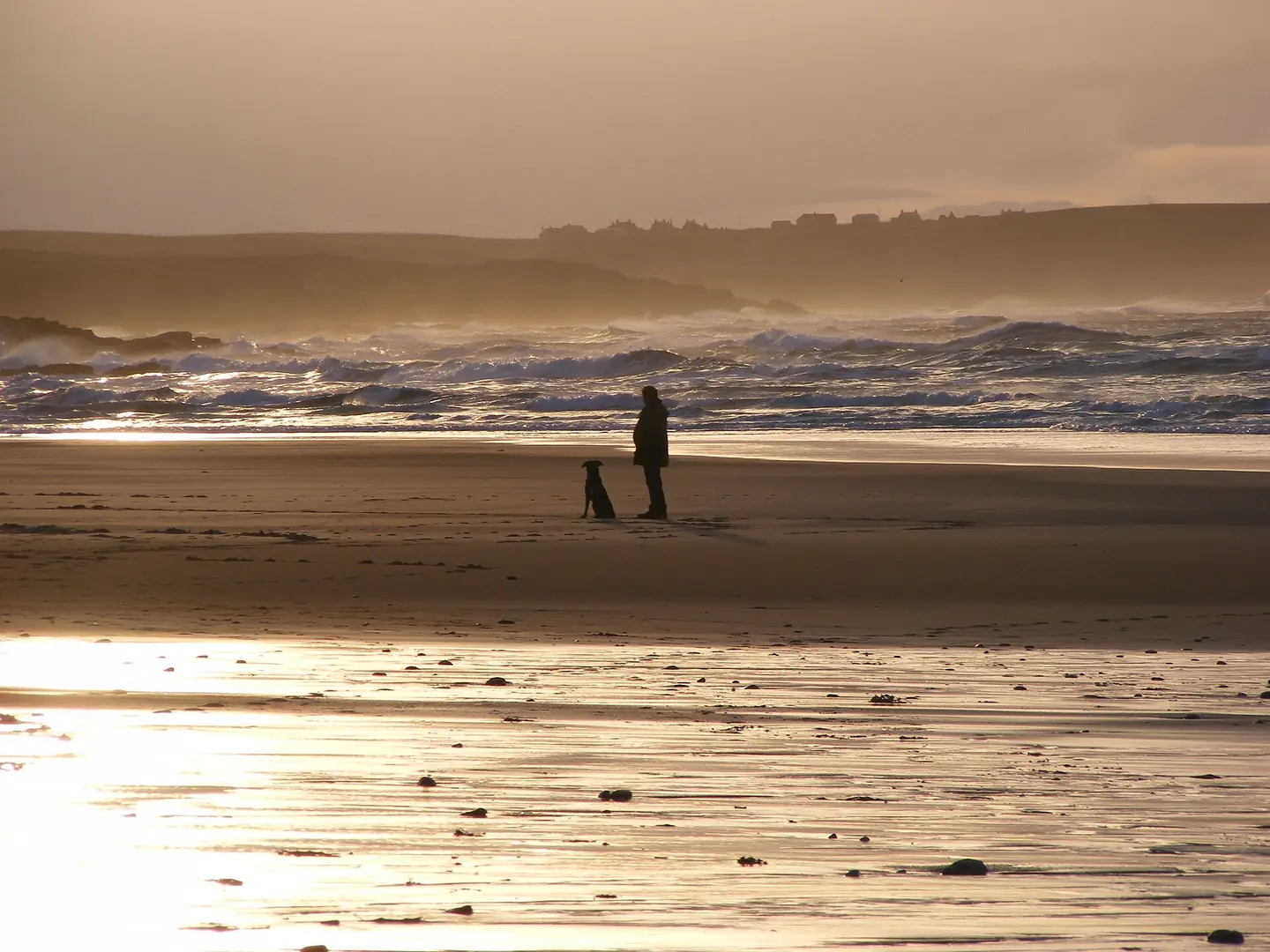
Beach at Eoropie, Lewis
Dog walker on the beach at Eoropie , Isle of Lewis , Outer Hebrides , Scotland. This photograph is used as a geographic witness to the place, not as evidence of the historical date shown in the chapter.
- Visual description
- Dog walker on the beach at Eoropie , Isle of Lewis , Outer Hebrides , Scotland
- Nature
- original
- Medium
- Open-licence photograph
- Source
- Wikimedia Commons · CC BY-SA 3.0
- Reviewed
- Josh Wildman
THE ATLANTIC EDGE
Eoropie
Gaelic village, machair and Atlantic surf at the northern end of Lewis.
Scroll to follow the shoreline through time
Eoropie, or Eòrapaidh, is the northernmost village in Ness.
Tràigh Shanndaigh faces north-west into the Atlantic, backed by dunes and machair worked by crofting families.
Sources for this chapter
THE OLDER VILLAGE
Wells, chapels and carried stories
Local history records several village wells and traditions around Tobar an Teampaill.
Nearby chapel sites and stories of saints place the modern beach inside a much older Gaelic cultural landscape.
Sources for this chapter
THE 19th CENTURY
Fishing looked outward
The Ness fishing industry reached its height in the nineteenth century.
Boats, weather knowledge and family networks connected this remote shore to a wider maritime economy long before surfers arrived.
Sources for this chapter
Open ledger · AOD.UK.EOROPIE.V01 · ORIGINALClose ledger · AOD.UK.EOROPIE.V01
Ledger AOD.UK.EOROPIE.V01
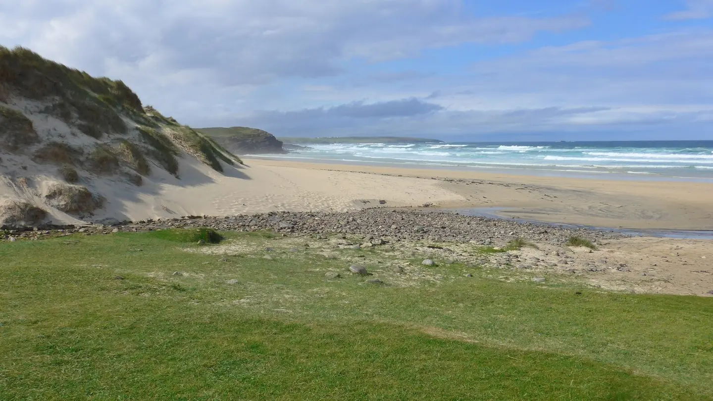
Traigh Shanndaigh - the beach at Eoropie
Traigh Shanndaigh - the beach at Eoropie. This photograph is used as a geographic witness to the place, not as evidence of the historical date shown in the chapter.
- Visual description
- Traigh Shanndaigh - the beach at Eoropie
- Nature
- original
- Medium
- Open-licence photograph
- Source
- Wikimedia Commons / Geograph · CC BY-SA 2.0
- Reviewed
- Josh Wildman
LATE 20th CENTURY
Atlantic exposure becomes a surf asset
Cold-water equipment allowed surfers to use Lewis’s exposed beaches more consistently.
At Eoropie the same north-west fetch that challenged local seafarers became the source of a reliable modern break.
Sources for this chapter
THE LIVING MAP
The mapped place
Eoropie is recorded at 58.501° N, 6.258° W. A surf map fixes a name to one stretch of moving water, but the place changes with tide, swell direction, wind and the shape of the seabed.
Sources for this chapter
Open ledger · AOD.UK.EOROPIE.V00 · ORIGINALClose ledger · AOD.UK.EOROPIE.V00
Ledger AOD.UK.EOROPIE.V00
Beach at Eoropie, Lewis
Dog walker on the beach at Eoropie , Isle of Lewis , Outer Hebrides , Scotland. This photograph is used as a geographic witness to the place, not as evidence of the historical date shown in the chapter.
- Visual description
- Dog walker on the beach at Eoropie , Isle of Lewis , Outer Hebrides , Scotland
- Nature
- original
- Medium
- Open-licence photograph
- Source
- Wikimedia Commons · CC BY-SA 3.0
- Reviewed
- Josh Wildman
TODAY
Community ground beside the waves
Eoropie Dunes Park grew from an initiative by GAIN, a user-led voluntary organisation that designed and manages the free outdoor space.
The beach now sits beside a community-made park that keeps leisure tied to village life.
Sources for this chapter
THE LEDGER
Sources and credits
This exhibition is built from local, institutional and sporting records. The source ledger keeps the claims visible and leaves space for correction as further local evidence emerges.
Sources for this chapter
Artefacts in order of appearance
Beach at Eoropie, Lewis
AOD.UK.EOROPIE.V00 · original · Wikimedia Commons · CC BY-SA 3.0
Traigh Shanndaigh - the beach at Eoropie
AOD.UK.EOROPIE.V01 · original · Wikimedia Commons / Geograph · CC BY-SA 2.0
Editorial record
Full UK edition. Historical claims are linked to the local, public and sporting records used to write the exhibition. Cartography is generated from the PeakWave location catalogue.