Open ledger · AOD.UK.DUNNET-BAY.V00 · ORIGINALClose ledger · AOD.UK.DUNNET-BAY.V00
Ledger AOD.UK.DUNNET-BAY.V00
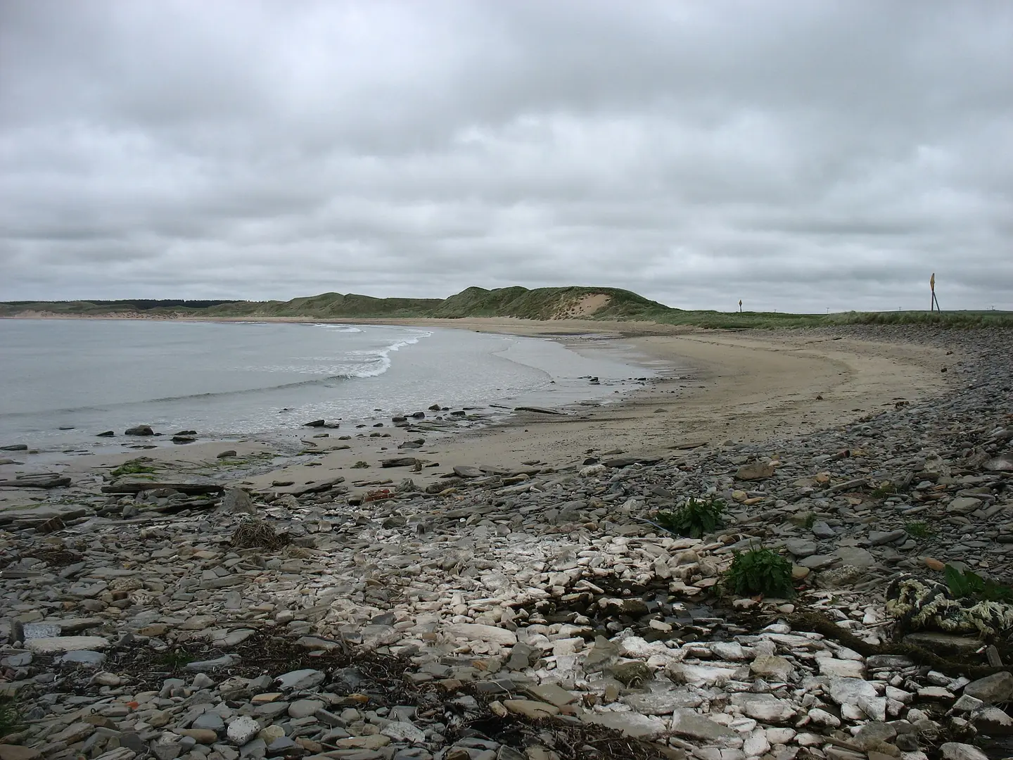
Dunnet Bay
Dunnet Bay. This photograph is used as a geographic witness to the place, not as evidence of the historical date shown in the chapter.
- Visual description
- Dunnet Bay
- Nature
- original
- Medium
- Open-licence photograph
- Source
- Wikimedia Commons / Geograph · CC BY-SA 2.0
- Reviewed
- Josh Wildman
THE BAY
Dunnet Bay
A long Caithness beach linking crofting ground, natural history and the north-coast surf circuit.
Scroll to follow the shoreline through time
Dunnet Bay curves between low Caithness headlands, laying a long sand beach across Scotland’s north coast.
Its scale contrasts with the rocky reefs farther west.
Sources for this chapter
BEFORE SURFING
Common ground and coastal work
The surrounding links and common land supported grazing and local livelihoods.
Dunnet’s history belongs to the nearby communities and farms as much as to travellers following the coastal road.
Sources for this chapter
LATE 20th CENTURY
The north coast becomes a surf journey
As Scottish surfers explored beyond the earliest east-coast centres, Caithness became a connected circuit of beaches and reefs.
Dunnet offered a more forgiving sand-bottomed alternative within that route.
Sources for this chapter
Open ledger · AOD.UK.DUNNET-BAY.V01 · ORIGINALClose ledger · AOD.UK.DUNNET-BAY.V01
Ledger AOD.UK.DUNNET-BAY.V01
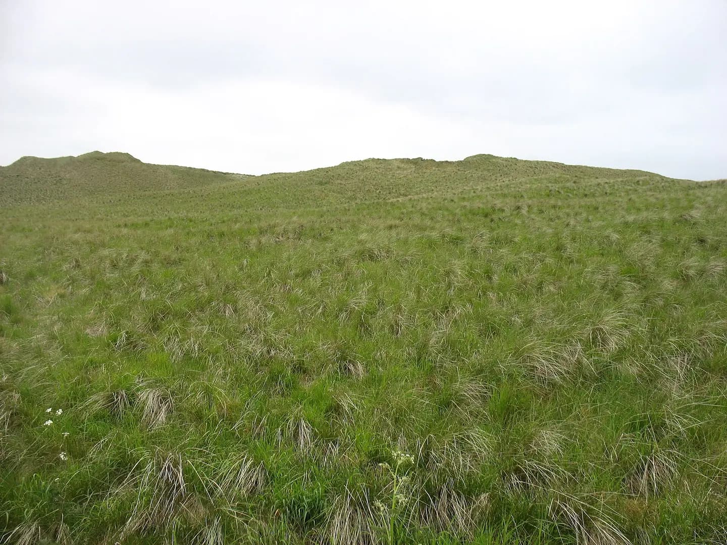
Dunes by Dunnet Bay
Dunes by Dunnet Bay. This photograph is used as a geographic witness to the place, not as evidence of the historical date shown in the chapter.
- Visual description
- Dunes by Dunnet Bay
- Nature
- original
- Medium
- Open-licence photograph
- Source
- Wikimedia Commons / Geograph · CC BY-SA 2.0
- Reviewed
- Josh Wildman
THE CAITHNESS SURF MAP
A beach in the competition hinterland
Thurso’s contests drew attention to the region, but everyday surfing spread across nearby bays according to wind and swell.
Dunnet’s role is part of that wider local system.
Sources for this chapter
THE LIVING MAP
The mapped place
Dunnet Bay is recorded at 58.606° N, 3.367° W. A surf map fixes a name to one stretch of moving water, but the place changes with tide, swell direction, wind and the shape of the seabed.
Sources for this chapter
Open ledger · AOD.UK.DUNNET-BAY.V00 · ORIGINALClose ledger · AOD.UK.DUNNET-BAY.V00
Ledger AOD.UK.DUNNET-BAY.V00
Dunnet Bay
Dunnet Bay. This photograph is used as a geographic witness to the place, not as evidence of the historical date shown in the chapter.
- Visual description
- Dunnet Bay
- Nature
- original
- Medium
- Open-licence photograph
- Source
- Wikimedia Commons / Geograph · CC BY-SA 2.0
- Reviewed
- Josh Wildman
TODAY
A living beach, not an overflow car park
Dunnet remains a natural-history destination, local beach and surf option.
Its future depends on keeping dunes, access and recreation in balance rather than measuring it only by visitor numbers.
Sources for this chapter
THE LEDGER
Sources and credits
This exhibition is built from local, institutional and sporting records. The source ledger keeps the claims visible and leaves space for correction as further local evidence emerges.
Sources for this chapter
Artefacts in order of appearance
Dunnet Bay
AOD.UK.DUNNET-BAY.V00 · original · Wikimedia Commons / Geograph · CC BY-SA 2.0
Dunes by Dunnet Bay
AOD.UK.DUNNET-BAY.V01 · original · Wikimedia Commons / Geograph · CC BY-SA 2.0
Editorial record
Full UK edition. Historical claims are linked to the local, public and sporting records used to write the exhibition. Cartography is generated from the PeakWave location catalogue.