Open ledger · AOD.UK.CROYDE.V00 · ORIGINALClose ledger · AOD.UK.CROYDE.V00
Ledger AOD.UK.CROYDE.V00
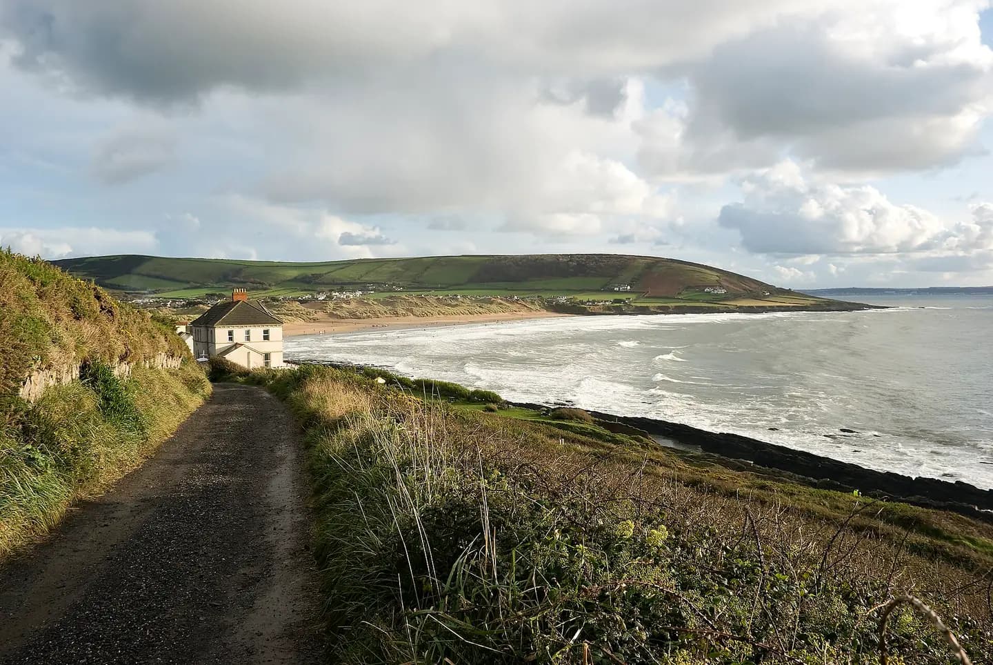
Looking towards Croyde Beach from Middleborough Hill
Looking towards Croyde Beach from Middleborough Hill. This photograph is used as a geographic witness to the place, not as evidence of the historical date shown in the chapter.
- Visual description
- Looking towards Croyde Beach from Middleborough Hill
- Nature
- original
- Medium
- Open-licence photograph
- Source
- Wikimedia Commons / Geograph · CC BY-SA 2.0
- Reviewed
- Josh Wildman
THE BAY
Croyde
A farming village and compact bay at the centre of North Devon’s surf culture.
Scroll to follow the shoreline through time
Croyde’s sand sits between Baggy Point and Saunton Down.
Its confined beach and shifting banks can focus swell more sharply than the long neighbouring strands.
Sources for this chapter
FARMS BEHIND THE DUNES
Village first, resort later
The settlement behind the beach grew from farming and rural work.
Surfing arrived in a living village rather than on an undeveloped holiday strip.
Sources for this chapter
THE 1960s–1970s
Boards and workshops gather nearby
Braunton became a hub for the young British surf industry, supplying boards and equipment to Croyde, Saunton and the wider coast.
Local surfers gained year-round access to designs once imported from abroad.
Sources for this chapter
Open ledger · AOD.UK.CROYDE.V01 · ORIGINALClose ledger · AOD.UK.CROYDE.V01
Ledger AOD.UK.CROYDE.V01
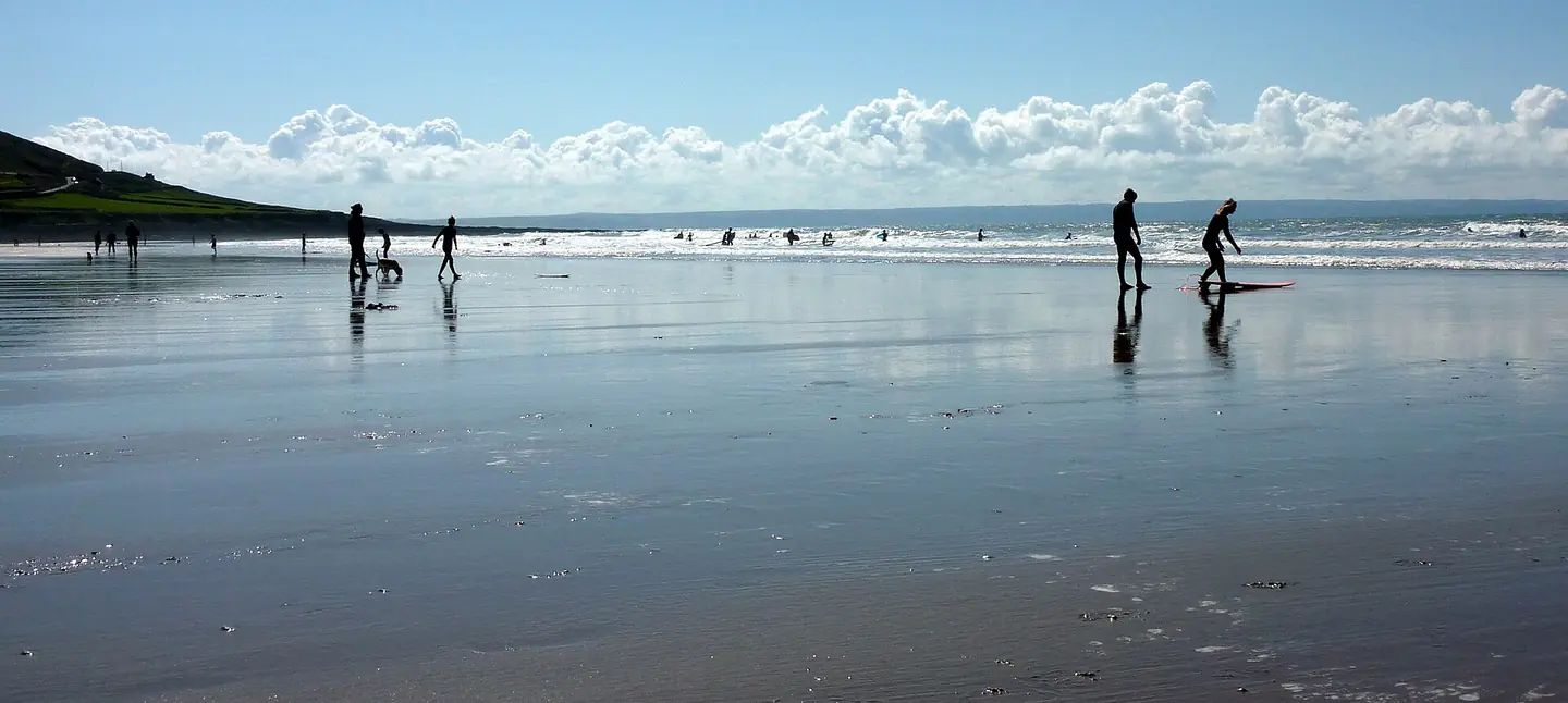
Surfers (7071772511)
Surfers. This photograph is used as a geographic witness to the place, not as evidence of the historical date shown in the chapter.
- Visual description
- Surfers
- Nature
- original
- Medium
- Open-licence photograph
- Source
- Wikimedia Commons · CC BY 2.0
- Reviewed
- Josh Wildman
1979
Croyde Surf Club forms
Croyde Surf Club was founded in 1979.
The club converted an informal line-up into an organisation able to stage events, represent local surfers and pass knowledge between generations.
Sources for this chapter
THE LIVING MAP
The mapped place
Croyde is recorded at 51.129° N, 4.239° W. A surf map fixes a name to one stretch of moving water, but the place changes with tide, swell direction, wind and the shape of the seabed.
Sources for this chapter
Open ledger · AOD.UK.CROYDE.V00 · ORIGINALClose ledger · AOD.UK.CROYDE.V00
Ledger AOD.UK.CROYDE.V00
Looking towards Croyde Beach from Middleborough Hill
Looking towards Croyde Beach from Middleborough Hill. This photograph is used as a geographic witness to the place, not as evidence of the historical date shown in the chapter.
- Visual description
- Looking towards Croyde Beach from Middleborough Hill
- Nature
- original
- Medium
- Open-licence photograph
- Source
- Wikimedia Commons / Geograph · CC BY-SA 2.0
- Reviewed
- Josh Wildman
TODAY
A famous beach inside a protected surf landscape
Croyde is now part of the North Devon World Surfing Reserve.
Its challenge is to protect wave quality, access and village life while handling the attention that its compact bay attracts.
Sources for this chapter
THE LEDGER
Sources and credits
This exhibition is built from local, institutional and sporting records. The source ledger keeps the claims visible and leaves space for correction as further local evidence emerges.
Sources for this chapter
Artefacts in order of appearance
Looking towards Croyde Beach from Middleborough Hill
AOD.UK.CROYDE.V00 · original · Wikimedia Commons / Geograph · CC BY-SA 2.0
Surfers (7071772511)
AOD.UK.CROYDE.V01 · original · Wikimedia Commons · CC BY 2.0
Editorial record
Full UK edition. Historical claims are linked to the local, public and sporting records used to write the exhibition. Cartography is generated from the PeakWave location catalogue.