Open ledger · AOD.UK.CRANTOCK.V00 · ORIGINALClose ledger · AOD.UK.CRANTOCK.V00
Ledger AOD.UK.CRANTOCK.V00
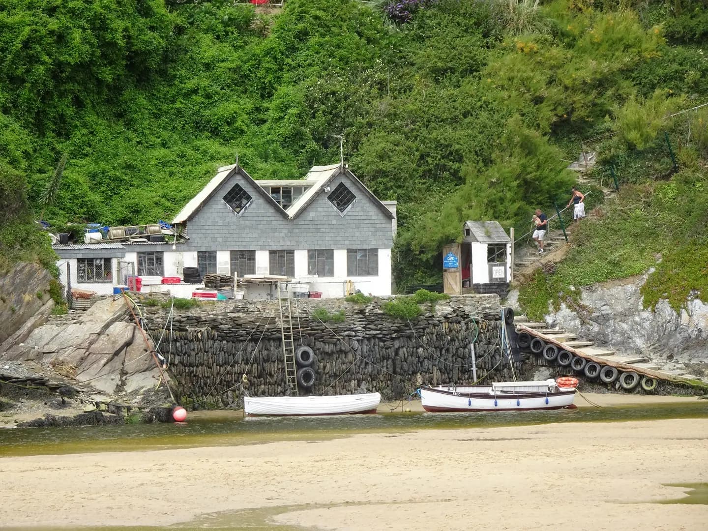
Ferry at Crantock Beach
Ferry at Crantock Beach. This photograph is used as a geographic witness to the place, not as evidence of the historical date shown in the chapter.
- Visual description
- Ferry at Crantock Beach
- Nature
- original
- Medium
- Open-licence photograph
- Source
- Wikimedia Commons / Geograph · CC BY-SA 2.0
- Reviewed
- Josh Wildman
THE ESTUARY
Crantock
A surf beach, working estuary and landscape that repeatedly redraws itself.
Scroll to follow the shoreline through time
Crantock lies between two Pentire headlands at the mouth of the River Gannel.
River flow, tides and storms move the channel, beach and steep dune face over time.
Sources for this chapter
THE 19th CENTURY
Industry worked along the river
Shipping and industry occupied the Gannel’s banks, including lime kilns and smelting works.
Folklore offered another explanation for the buried landscape: the sinful city of Langarrow, overwhelmed by a storm and sand.
Sources for this chapter
THE 1890s
A wall tried to hold the channel
A retaining wall was built by the end of the nineteenth century to keep a navigable river channel beside East Pentire.
The intervention shows that Crantock’s present beach profile is neither ancient nor entirely natural.
Sources for this chapter
Open ledger · AOD.UK.CRANTOCK.V01 · ORIGINALClose ledger · AOD.UK.CRANTOCK.V01
Ledger AOD.UK.CRANTOCK.V01
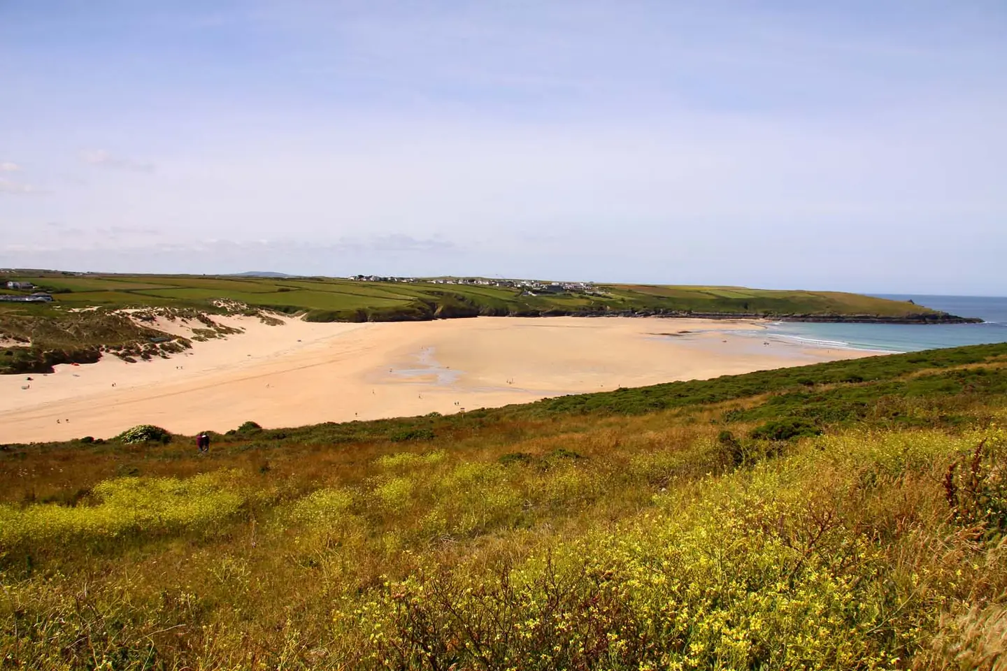
Crantock Beach from The Warren
Crantock Beach from The Warren. This photograph is used as a geographic witness to the place, not as evidence of the historical date shown in the chapter.
- Visual description
- Crantock Beach from The Warren
- Nature
- original
- Medium
- Open-licence photograph
- Source
- Wikimedia Commons / Geograph · CC BY-SA 2.0
- Reviewed
- Josh Wildman
THE SURF YEARS
Surfing entered a moving system
As surfing expanded around Newquay, Crantock offered beachbreak waves with an estuary complication.
Sandbanks and river currents can change within a season, so local knowledge matters as much as the forecast.
THE LIVING MAP
The mapped place
Crantock is recorded at 50.398° N, 5.119° W. A surf map fixes a name to one stretch of moving water, but the place changes with tide, swell direction, wind and the shape of the seabed.
Sources for this chapter
Open ledger · AOD.UK.CRANTOCK.V00 · ORIGINALClose ledger · AOD.UK.CRANTOCK.V00
Ledger AOD.UK.CRANTOCK.V00
Ferry at Crantock Beach
Ferry at Crantock Beach. This photograph is used as a geographic witness to the place, not as evidence of the historical date shown in the chapter.
- Visual description
- Ferry at Crantock Beach
- Nature
- original
- Medium
- Open-licence photograph
- Source
- Wikimedia Commons / Geograph · CC BY-SA 2.0
- Reviewed
- Josh Wildman
TODAY
The dunes are being allowed to change
Crantock remains a popular surf and family beach, but recent erosion has exposed old hedges and altered safe access.
Current management studies how to make space for sand rather than promising a fixed shoreline.
Sources for this chapter
THE LEDGER
Sources and credits
This exhibition is built from local, institutional and sporting records. The source ledger keeps the claims visible and leaves space for correction as further local evidence emerges.
Sources for this chapter
Artefacts in order of appearance
Ferry at Crantock Beach
AOD.UK.CRANTOCK.V00 · original · Wikimedia Commons / Geograph · CC BY-SA 2.0
Crantock Beach from The Warren
AOD.UK.CRANTOCK.V01 · original · Wikimedia Commons / Geograph · CC BY-SA 2.0
Editorial record
Full UK edition. Historical claims are linked to the local, public and sporting records used to write the exhibition. Cartography is generated from the PeakWave location catalogue.