Open ledger · AOD.UK.CONSTANTINE-BAY.V00 · ORIGINALClose ledger · AOD.UK.CONSTANTINE-BAY.V00
Ledger AOD.UK.CONSTANTINE-BAY.V00
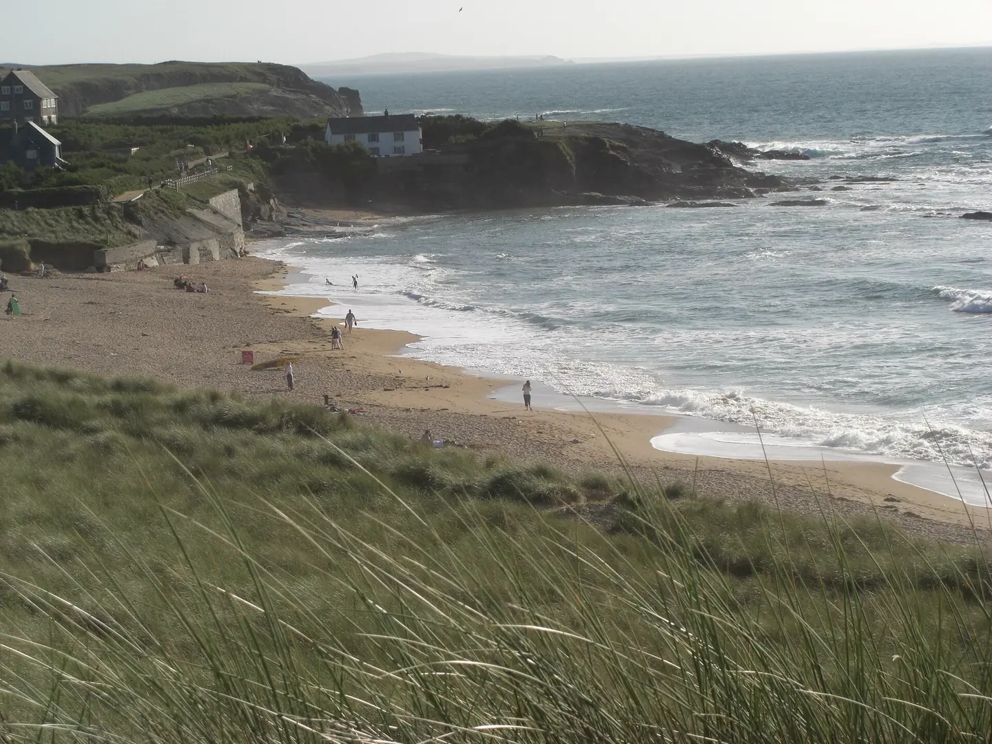
Constantine Bay looking towards Treyarnon Point
Constantine Bay looking towards Treyarnon Point. This photograph is used as a geographic witness to the place, not as evidence of the historical date shown in the chapter.
- Visual description
- Constantine Bay looking towards Treyarnon Point
- Nature
- original
- Medium
- Open-licence photograph
- Source
- Wikimedia Commons / Geograph · CC BY-SA 2.0
- Reviewed
- Josh Wildman
THE TREVOSE COAST
Constantine Bay
A saint’s name, protected headland and demanding reef on the Trevose coast.
Scroll to follow the shoreline through time
Constantine is a broad west-facing arc backed by dunes, with a rocky reef to the south and a narrow point separating it from Booby’s Bay.
Those fixed features organise the otherwise shifting sand and swell.
Sources for this chapter
THE SAINT’S NAME
A sixth-century name remains
The bay is named for Saint Constantine, a sixth-century Cornish saint.
Around it, the headland remained a landscape of pasture, fishing shelters and small settlements rather than a major harbour.
Sources for this chapter
THE WALKING COAST
The coast path linked the bays
Routes around Trevose connect Constantine to neighbouring coves, the lighthouse headland and the old fisherman’s shelter at Booby’s Bay.
Access revealed a chain of distinct beaches rather than one continuous resort frontage.
Sources for this chapter
Open ledger · AOD.UK.CONSTANTINE-BAY.V01 · ORIGINALClose ledger · AOD.UK.CONSTANTINE-BAY.V01
Ledger AOD.UK.CONSTANTINE-BAY.V01
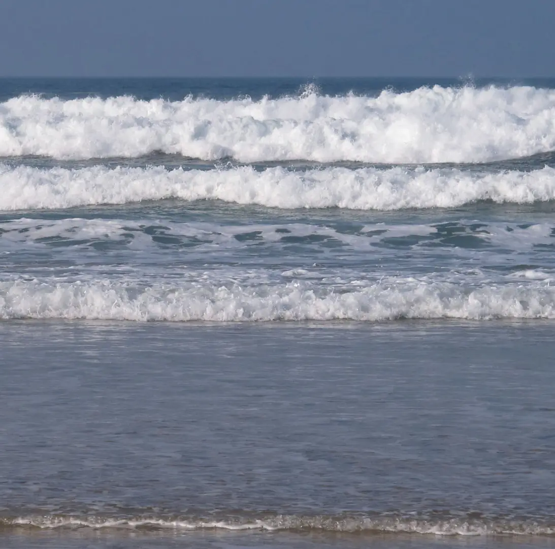
Sun, sea and surf at Constantine Bay
Sun, sea and surf at Constantine Bay. This photograph is used as a geographic witness to the place, not as evidence of the historical date shown in the chapter.
- Visual description
- Sun, sea and surf at Constantine Bay
- Nature
- original
- Medium
- Open-licence photograph
- Source
- Wikimedia Commons / Geograph · CC BY-SA 2.0
- Reviewed
- Josh Wildman
THE SURF YEARS
Surfers learned the reef’s timetable
Constantine became known for waves that change sharply with swell direction and tide.
The southern reef, central peaks and northern point each work differently, rewarding experience rather than a single reliable formula.
Sources for this chapter
THE LIVING MAP
The mapped place
Constantine Bay is recorded at 50.537° N, 5.016° W. A surf map fixes a name to one stretch of moving water, but the place changes with tide, swell direction, wind and the shape of the seabed.
Sources for this chapter
Open ledger · AOD.UK.CONSTANTINE-BAY.V00 · ORIGINALClose ledger · AOD.UK.CONSTANTINE-BAY.V00
Ledger AOD.UK.CONSTANTINE-BAY.V00
Constantine Bay looking towards Treyarnon Point
Constantine Bay looking towards Treyarnon Point. This photograph is used as a geographic witness to the place, not as evidence of the historical date shown in the chapter.
- Visual description
- Constantine Bay looking towards Treyarnon Point
- Nature
- original
- Medium
- Open-licence photograph
- Source
- Wikimedia Commons / Geograph · CC BY-SA 2.0
- Reviewed
- Josh Wildman
TODAY
A serious break inside a protected landscape
The beach is now both a recognised surf venue and part of a coast protected for cliffs, grassland, heath and wet habitats.
Its identity depends on retaining the undeveloped headland that frames the wave.
Sources for this chapter
THE LEDGER
Sources and credits
This exhibition is built from local, institutional and sporting records. The source ledger keeps the claims visible and leaves space for correction as further local evidence emerges.
Sources for this chapter
Artefacts in order of appearance
Constantine Bay looking towards Treyarnon Point
AOD.UK.CONSTANTINE-BAY.V00 · original · Wikimedia Commons / Geograph · CC BY-SA 2.0
Sun, sea and surf at Constantine Bay
AOD.UK.CONSTANTINE-BAY.V01 · original · Wikimedia Commons / Geograph · CC BY-SA 2.0
Editorial record
Full UK edition. Historical claims are linked to the local, public and sporting records used to write the exhibition. Cartography is generated from the PeakWave location catalogue.