Open ledger · AOD.UK.COMPTON-BAY.V00 · ORIGINALClose ledger · AOD.UK.COMPTON-BAY.V00
Ledger AOD.UK.COMPTON-BAY.V00
Compton Bay
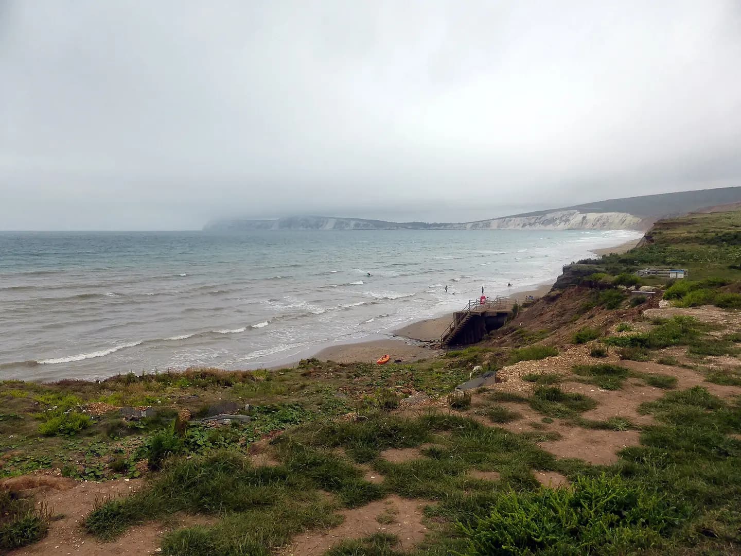
Compton Bay. This photograph is used as a geographic witness to the place, not as evidence of the historical date shown in the chapter.
- Visual description
- Compton Bay
- Nature
- original
- Medium
- Open-licence photograph
- Source
- Wikimedia Commons / Geograph · CC BY-SA 2.0
- Reviewed
- Josh Wildman
ABOUT 125 MILLION YEARS AGO
Compton Bay
Dinosaur footprints, a stranded tug and the Isle of Wight’s best-known surf beach.
Scroll to follow the shoreline through time
Compton’s cliffs preserve river and lagoon deposits crossed by dinosaurs.
Erosion releases bones and leaves large three-toed foot casts on the beach, making geological time physically present in the surf zone.
Sources for this chapter
EROSION AND EXPOSURE
A coast keeps moving
The cliffs span rocks from the Early Cretaceous towards younger chalk.
Storms reveal fossils, remove land and periodically force the National Trust to retreat car parking from the edge.
Sources for this chapter
1947
The Carbon runs aground
The tug Carbon broke its tow and grounded in Compton Bay in 1947.
Left as uneconomic to recover, its remains became another temporary layer in a coast full of much older traces.
Sources for this chapter
Open ledger · AOD.UK.COMPTON-BAY.V01 · ORIGINALClose ledger · AOD.UK.COMPTON-BAY.V01
Ledger AOD.UK.COMPTON-BAY.V01
Compton Bay
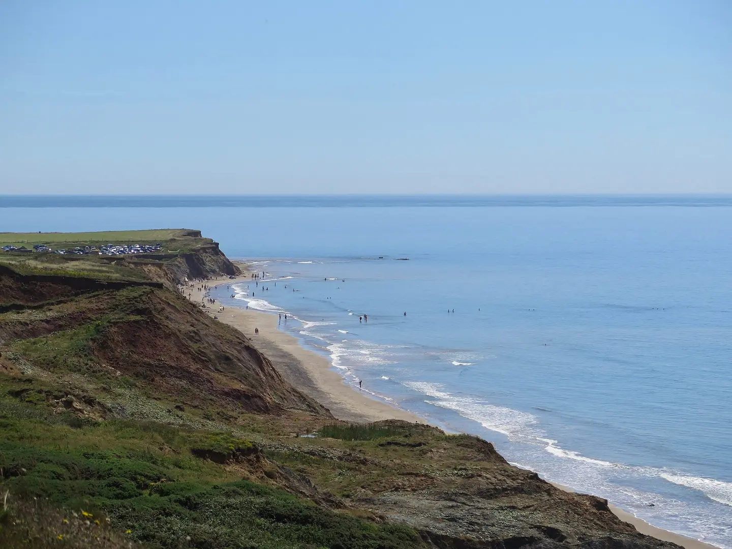
Compton Bay. This photograph is used as a geographic witness to the place, not as evidence of the historical date shown in the chapter.
- Visual description
- Compton Bay
- Nature
- original
- Medium
- Open-licence photograph
- Source
- Wikimedia Commons / Geograph · CC BY-SA 2.0
- Reviewed
- Josh Wildman
THE SURF YEARS
The island’s reference surf beach
Compton became the Isle of Wight’s best-known surf location because it faces Atlantic swell more directly than much of the island.
Reef and sand sections give different options as tide and banks change.
Sources for this chapter
THE LIVING MAP
The mapped place
Compton Bay is recorded at 50.652° N, 1.387° W. A surf map fixes a name to one stretch of moving water, but the place changes with tide, swell direction, wind and the shape of the seabed.
Sources for this chapter
Open ledger · AOD.UK.COMPTON-BAY.V00 · ORIGINALClose ledger · AOD.UK.COMPTON-BAY.V00
Ledger AOD.UK.COMPTON-BAY.V00
Compton Bay
Compton Bay. This photograph is used as a geographic witness to the place, not as evidence of the historical date shown in the chapter.
- Visual description
- Compton Bay
- Nature
- original
- Medium
- Open-licence photograph
- Source
- Wikimedia Commons / Geograph · CC BY-SA 2.0
- Reviewed
- Josh Wildman
TODAY
Surfing on an eroding archive
Every surf session takes place beneath unstable cliffs and across a beach that can expose new fossils after storms.
Safety and conservation require leaving important finds and footprints in place.
Sources for this chapter
THE LEDGER
Sources and credits
This exhibition is built from local, institutional and sporting records. The source ledger keeps the claims visible and leaves space for correction as further local evidence emerges.
Sources for this chapter
Artefacts in order of appearance
Compton Bay
AOD.UK.COMPTON-BAY.V00 · original · Wikimedia Commons / Geograph · CC BY-SA 2.0
Compton Bay
AOD.UK.COMPTON-BAY.V01 · original · Wikimedia Commons / Geograph · CC BY-SA 2.0
Editorial record
Full UK edition. Historical claims are linked to the local, public and sporting records used to write the exhibition. Cartography is generated from the PeakWave location catalogue.