Open ledger · AOD.UK.CHAPEL-PORTH.V00 · ORIGINALClose ledger · AOD.UK.CHAPEL-PORTH.V00
Ledger AOD.UK.CHAPEL-PORTH.V00
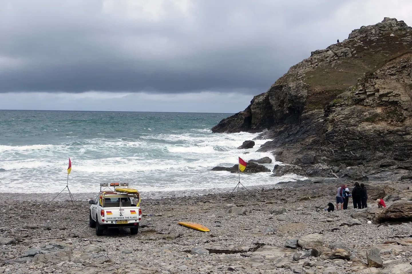
Beach at Chapel Porth
Beach at Chapel Porth. This photograph is used as a geographic witness to the place, not as evidence of the historical date shown in the chapter.
- Visual description
- Beach at Chapel Porth
- Nature
- original
- Medium
- Open-licence photograph
- Source
- Wikimedia Commons / Geograph · CC BY-SA 2.0
- Reviewed
- Josh Wildman
THE COOMBE
Chapel Porth
A tin-processing valley that became a beach without losing its industrial traces.
Scroll to follow the shoreline through time
Chapel Coombe narrows into a small west-facing beach beneath high cliffs.
The fast stream that reaches the sand later supplied power for the industry built across the valley floor.
Sources for this chapter
THE 19th CENTURY
Tin occupied the valley
Water channels, frames, sheds and settling floors processed tin ore here.
Chapel Porth in the late nineteenth century was a working industrial landscape of spoil and machinery rather than an empty cove.
Sources for this chapter
THE 1920s
Dereliction made room for a beach resort
After the tin workings became derelict, visitors began to use Chapel Porth as a beach and a succession of small cafés appeared.
The change was not a clean erasure: industrial remains stayed in the valley.
Sources for this chapter
Open ledger · AOD.UK.CHAPEL-PORTH.V01 · ORIGINALClose ledger · AOD.UK.CHAPEL-PORTH.V01
Ledger AOD.UK.CHAPEL-PORTH.V01
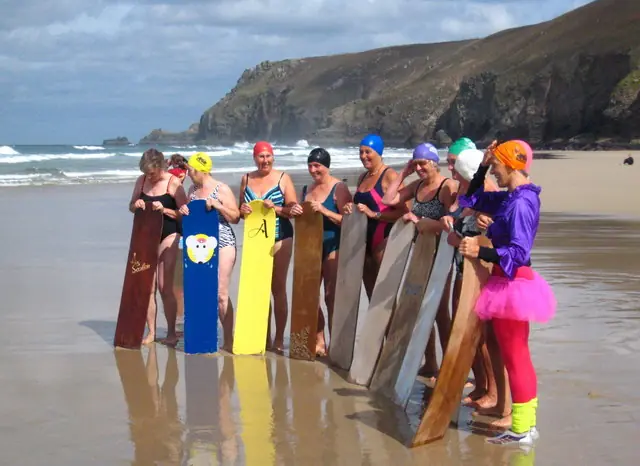
Bellyboarding Chapel Porth beach 0001
Bellyboardin in Chapel Porth beach, Cornwall. This photograph is used as a geographic witness to the place, not as evidence of the historical date shown in the chapter.
- Visual description
- Bellyboardin in Chapel Porth beach, Cornwall
- Nature
- original
- Medium
- Open-licence photograph
- Source
- Wikimedia Commons · CC BY-SA 2.0
- Reviewed
- Josh Wildman
THE SURF YEARS
Surfing arrived among the mine remains
Modern boards and wetsuits made this exposed cove part of Cornwall’s surf network.
At low tide surfers share the shore with another piece of history, the boiler of the SS Eltham, wrecked in a gale in 1928.
THE LIVING MAP
The mapped place
Chapel Porth is recorded at 50.311° N, 5.243° W. A surf map fixes a name to one stretch of moving water, but the place changes with tide, swell direction, wind and the shape of the seabed.
Sources for this chapter
Open ledger · AOD.UK.CHAPEL-PORTH.V00 · ORIGINALClose ledger · AOD.UK.CHAPEL-PORTH.V00
Ledger AOD.UK.CHAPEL-PORTH.V00
Beach at Chapel Porth
Beach at Chapel Porth. This photograph is used as a geographic witness to the place, not as evidence of the historical date shown in the chapter.
- Visual description
- Beach at Chapel Porth
- Nature
- original
- Medium
- Open-licence photograph
- Source
- Wikimedia Commons / Geograph · CC BY-SA 2.0
- Reviewed
- Josh Wildman
TODAY
The beach is also an industrial archive
Chapel Porth is now cared for as coast, habitat and heritage.
Surf conditions draw people into a landscape where the route inland still explains why the valley looks the way it does.
Sources for this chapter
THE LEDGER
Sources and credits
This exhibition is built from local, institutional and sporting records. The source ledger keeps the claims visible and leaves space for correction as further local evidence emerges.
Sources for this chapter
Artefacts in order of appearance
Beach at Chapel Porth
AOD.UK.CHAPEL-PORTH.V00 · original · Wikimedia Commons / Geograph · CC BY-SA 2.0
Bellyboarding Chapel Porth beach 0001
AOD.UK.CHAPEL-PORTH.V01 · original · Wikimedia Commons · CC BY-SA 2.0
Editorial record
Full UK edition. Historical claims are linked to the local, public and sporting records used to write the exhibition. Cartography is generated from the PeakWave location catalogue.