Open ledger · AOD.UK.CAYTON-BAY.V00 · ORIGINALClose ledger · AOD.UK.CAYTON-BAY.V00
Ledger AOD.UK.CAYTON-BAY.V00
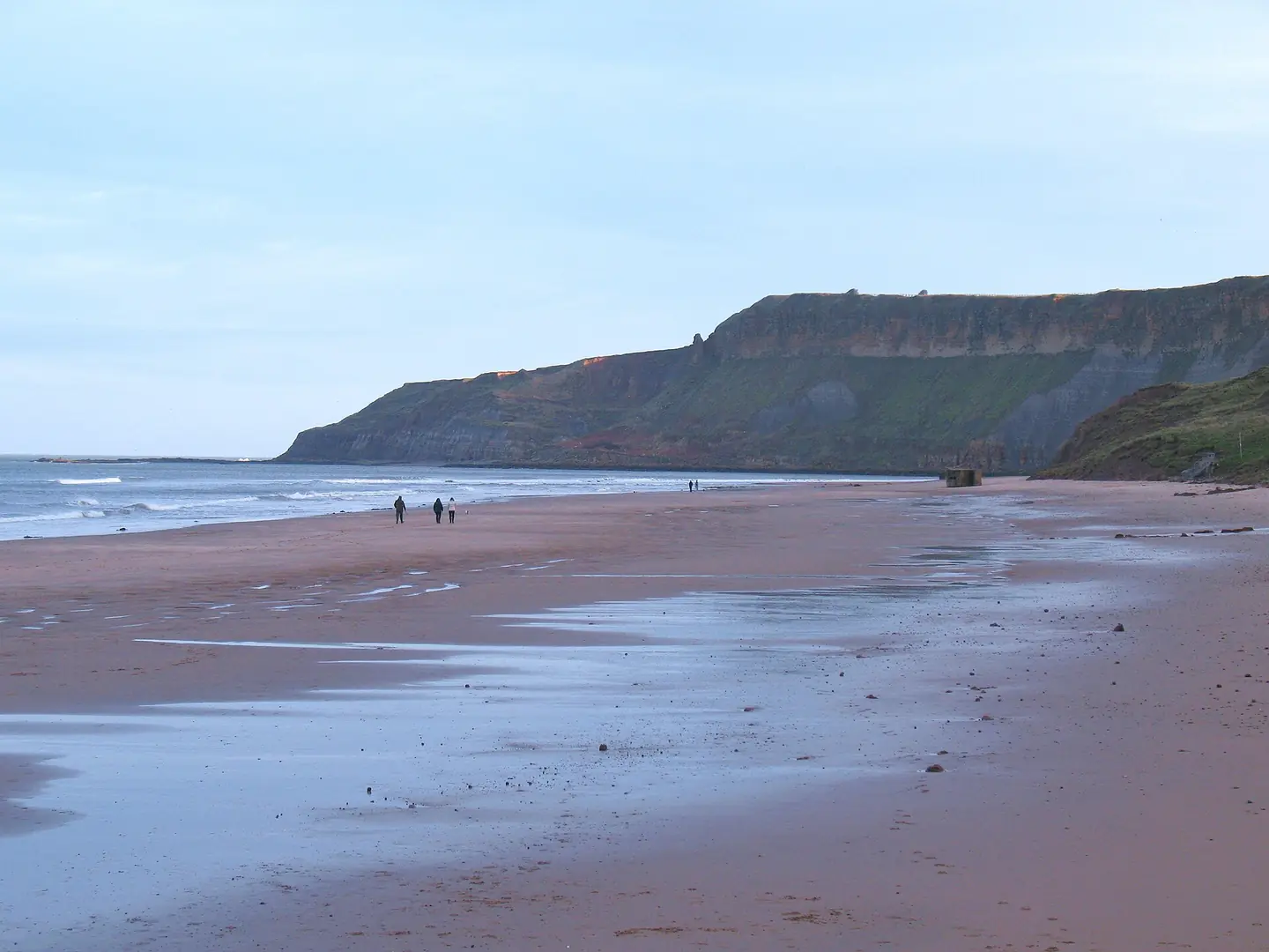
Cayton Bay beach
Cayton Bay beach. This photograph is used as a geographic witness to the place, not as evidence of the historical date shown in the chapter.
- Visual description
- Cayton Bay beach
- Nature
- original
- Medium
- Open-licence photograph
- Source
- Wikimedia Commons / Geograph · CC BY-SA 2.0
- Reviewed
- Josh Wildman
THE ENCLOSED BAY
Cayton Bay
A cliff-backed Yorkshire bay that developed its own surf institutions outside the resort towns.
Scroll to follow the shoreline through time
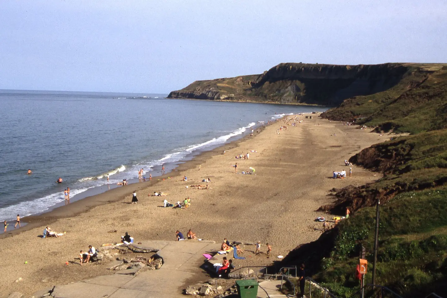
Cayton Bay is a sandy curve backed by high ground south of Scarborough.
Points, rock and changing sand create several named peaks within one bay.
Sources for this chapter
BEFORE THE SURF SHOP
A rural shore between resorts
Cayton remained outside the dense seafront development of Scarborough and Filey.
The difficult descent preserved a different character from the promenades on either side.
Sources for this chapter
THE SURF SHOP YEARS
A local business becomes infrastructure
A long-standing surf shop and its car park turned a steep coastal access into a practical base for equipment, advice and lessons.
That modest infrastructure helped a regional scene endure.
Sources for this chapter
Open ledger · AOD.UK.CAYTON-BAY.V01 · ORIGINALClose ledger · AOD.UK.CAYTON-BAY.V01
Ledger AOD.UK.CAYTON-BAY.V01
Cayton Bay near Scarborough
Cayton Bay near Scarborough. This photograph is used as a geographic witness to the place, not as evidence of the historical date shown in the chapter.
- Visual description
- Cayton Bay near Scarborough
- Nature
- original
- Medium
- Open-licence photograph
- Source
- Wikimedia Commons / Geograph · CC BY-SA 2.0
- Reviewed
- Josh Wildman
THE NAMED BREAKS
Bunkers, Pumphouse and the Point
Local surfers divide Cayton into breaks including Bunkers, Pumphouse and the Point.
The names record accumulated knowledge of how different sections respond to swell and tide.
Sources for this chapter
THE LIVING MAP
The mapped place
Cayton Bay is recorded at 54.256° N, 0.380° W. A surf map fixes a name to one stretch of moving water, but the place changes with tide, swell direction, wind and the shape of the seabed.
Sources for this chapter
Open ledger · AOD.UK.CAYTON-BAY.V00 · ORIGINALClose ledger · AOD.UK.CAYTON-BAY.V00
Ledger AOD.UK.CAYTON-BAY.V00
Cayton Bay beach
Cayton Bay beach. This photograph is used as a geographic witness to the place, not as evidence of the historical date shown in the chapter.
- Visual description
- Cayton Bay beach
- Nature
- original
- Medium
- Open-licence photograph
- Source
- Wikimedia Commons / Geograph · CC BY-SA 2.0
- Reviewed
- Josh Wildman
TODAY
A recognised surf beach with limited space
North Yorkshire now describes Cayton as a nationally and internationally recognised surf location.
Its future depends on safeguarding the access and community facilities that made that reputation usable.
Sources for this chapter
THE LEDGER
Sources and credits
This exhibition is built from local, institutional and sporting records. The source ledger keeps the claims visible and leaves space for correction as further local evidence emerges.
Sources for this chapter
Artefacts in order of appearance
Cayton Bay beach
AOD.UK.CAYTON-BAY.V00 · original · Wikimedia Commons / Geograph · CC BY-SA 2.0
Cayton Bay near Scarborough
AOD.UK.CAYTON-BAY.V01 · original · Wikimedia Commons / Geograph · CC BY-SA 2.0
Editorial record
Full UK edition. Historical claims are linked to the local, public and sporting records used to write the exhibition. Cartography is generated from the PeakWave location catalogue.