Open ledger · AOD.UK.CASWELL.V00 · ORIGINALClose ledger · AOD.UK.CASWELL.V00
Ledger AOD.UK.CASWELL.V00
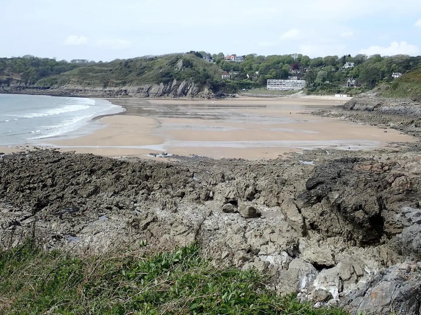
Tide's out at Caswell Bay
Tide's out at Caswell Bay. This photograph is used as a geographic witness to the place, not as evidence of the historical date shown in the chapter.
- Visual description
- Tide's out at Caswell Bay
- Nature
- original
- Medium
- Open-licence photograph
- Source
- Wikimedia Commons / Geograph · CC BY-SA 2.0
- Reviewed
- Josh Wildman
THE SOUTH GOWER SHORE
Caswell Bay
A Gower cove transformed from rural shore to Victorian resort and accessible city surf beach.
Scroll to follow the shoreline through time
Caswell is one of a sequence of sandy coves cut into South Gower’s cliffs.
Its south-westerly opening admits surf while headlands enclose a much smaller space than Llangennith.
Sources for this chapter
BEFORE THE RESORT
Quarries and farms behind the beach
The nearby settlement of Newton grew around limestone quarrying and small farms.
Caswell’s beach belonged to that working landscape before the villas and visitor facilities arrived.
Sources for this chapter
1894
The Victorian seaside reaches the bay
The opening of the Langland Bay Hotel in 1894 marked the development of Langland and Caswell as prominent seaside resorts.
Roads and suburban growth later brought the coves within Swansea’s everyday reach.
Sources for this chapter
Open ledger · AOD.UK.CASWELL.V01 · ORIGINALClose ledger · AOD.UK.CASWELL.V01
Ledger AOD.UK.CASWELL.V01
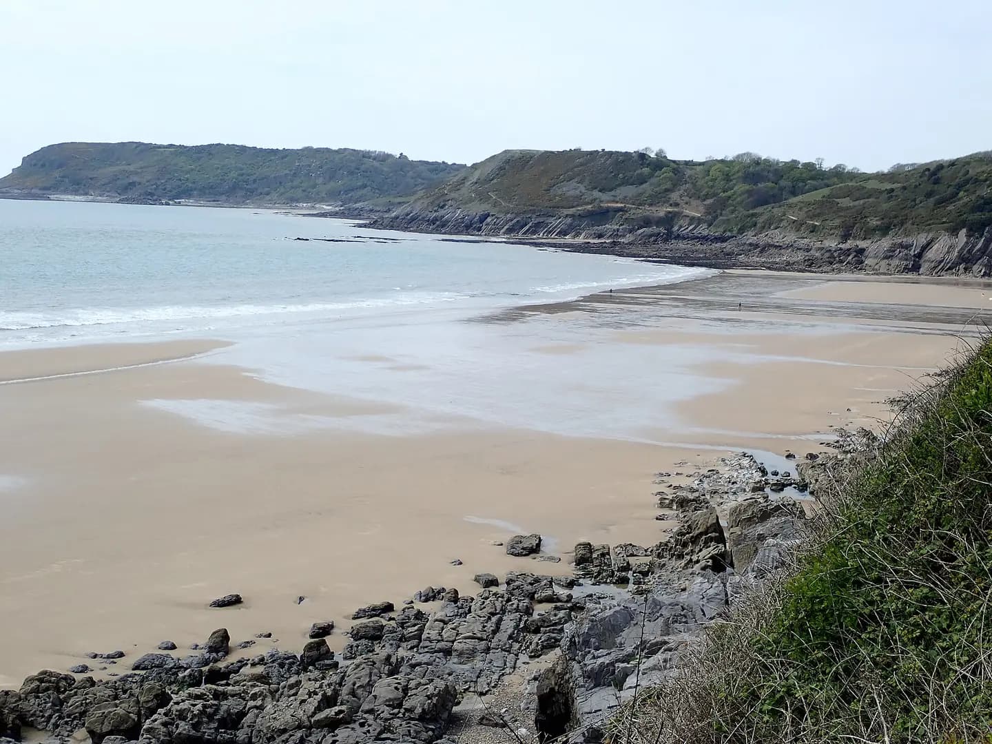
Sandy beach, Caswell Bay
Sandy beach, Caswell Bay. This photograph is used as a geographic witness to the place, not as evidence of the historical date shown in the chapter.
- Visual description
- Sandy beach, Caswell Bay
- Nature
- original
- Medium
- Open-licence photograph
- Source
- Wikimedia Commons / Geograph · CC BY-SA 2.0
- Reviewed
- Josh Wildman
THE WELSH SURF YEARS
A compact place to learn
As organised Welsh surfing grew, Caswell became a practical city-facing beach for lessons, bodyboarding and smaller days.
Its sheltered scale gave it a different role from exposed west Gower.
Sources for this chapter
THE LIVING MAP
The mapped place
Caswell Bay is recorded at 51.572° N, 3.978° W. A surf map fixes a name to one stretch of moving water, but the place changes with tide, swell direction, wind and the shape of the seabed.
Sources for this chapter
Open ledger · AOD.UK.CASWELL.V00 · ORIGINALClose ledger · AOD.UK.CASWELL.V00
Ledger AOD.UK.CASWELL.V00
Tide's out at Caswell Bay
Tide's out at Caswell Bay. This photograph is used as a geographic witness to the place, not as evidence of the historical date shown in the chapter.
- Visual description
- Tide's out at Caswell Bay
- Nature
- original
- Medium
- Open-licence photograph
- Source
- Wikimedia Commons / Geograph · CC BY-SA 2.0
- Reviewed
- Josh Wildman
TODAY
A public bay under pressure
Caswell is now heavily used for bathing, surfing and coastal access.
Its modern history is about sharing a small beach safely while retaining the cliffs, intertidal ground and clear public route to the sea.
Sources for this chapter
THE LEDGER
Sources and credits
This exhibition is built from local, institutional and sporting records. The source ledger keeps the claims visible and leaves space for correction as further local evidence emerges.
Sources for this chapter
Artefacts in order of appearance
Tide's out at Caswell Bay
AOD.UK.CASWELL.V00 · original · Wikimedia Commons / Geograph · CC BY-SA 2.0
Sandy beach, Caswell Bay
AOD.UK.CASWELL.V01 · original · Wikimedia Commons / Geograph · CC BY-SA 2.0
Editorial record
Full UK edition. Historical claims are linked to the local, public and sporting records used to write the exhibition. Cartography is generated from the PeakWave location catalogue.