Open ledger · AOD.UK.BUDE-SUMMERLEAZE.V00 · ORIGINALClose ledger · AOD.UK.BUDE-SUMMERLEAZE.V00
Ledger AOD.UK.BUDE-SUMMERLEAZE.V00
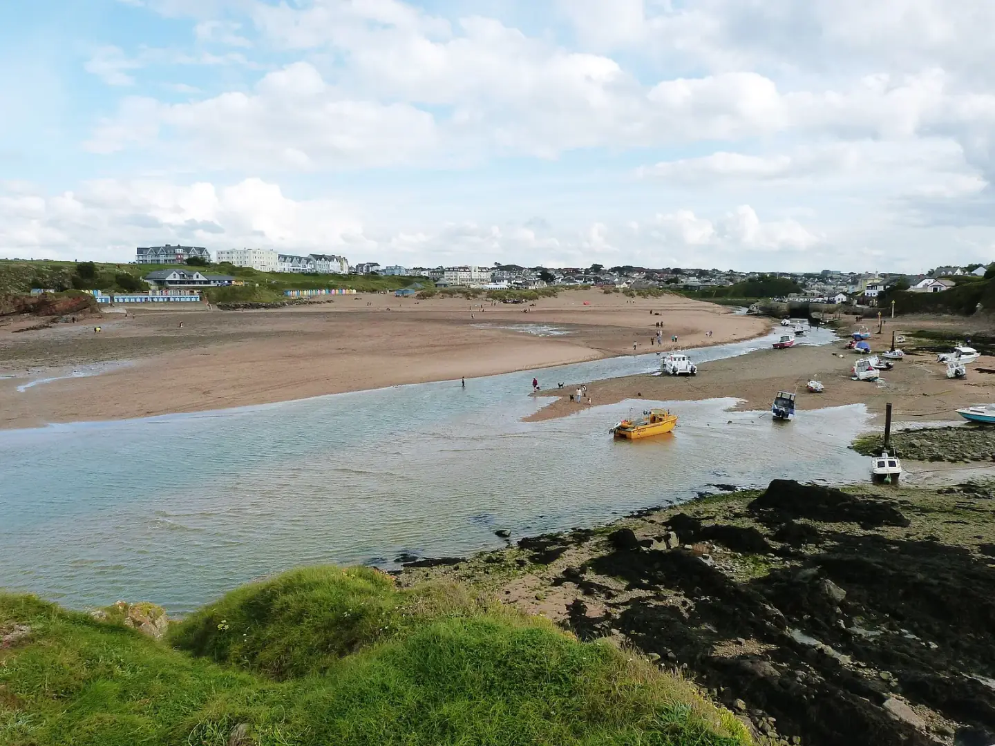
View from Chapel Rock over Summerleaze Beach and Bude Haven,
View from Chapel Rock over Summerleaze Beach and Bude Haven,. This photograph is used as a geographic witness to the place, not as evidence of the historical date shown in the chapter.
- Visual description
- View from Chapel Rock over Summerleaze Beach and Bude Haven,
- Nature
- original
- Medium
- Open-licence photograph
- Source
- Wikimedia Commons / Geograph · CC BY-SA 2.0
- Reviewed
- Josh Wildman
THE BUDE HAVEN
Bude Summerleaze
A beach where canal engineering, sea swimming and Atlantic surf meet.
Scroll to follow the shoreline through time
Summerleaze occupies the sand beside the Rivers Neet and Strat, with dunes on one side and the harbour entrance on the other.
River current, tide and the breakwater all influence the water people use today.
Sources for this chapter
1819–1825
Sea sand was an agricultural cargo
Bude Canal was built to carry lime-rich beach sand inland as a soil conditioner.
Horse-drawn trucks moved it from the shore to narrow tub boats, tying this leisure beach to the working farms beyond the town.
Sources for this chapter
1823
The canal opened a route inland
The canal opened in 1823 and eventually extended for 35.5 miles using inclined planes.
Most of that system is now dry, but the sea lock, canal and surviving sand rails still make its former purpose visible at the beach.
Sources for this chapter
Open ledger · AOD.UK.BUDE-SUMMERLEAZE.V01 · ORIGINALClose ledger · AOD.UK.BUDE-SUMMERLEAZE.V01
Ledger AOD.UK.BUDE-SUMMERLEAZE.V01
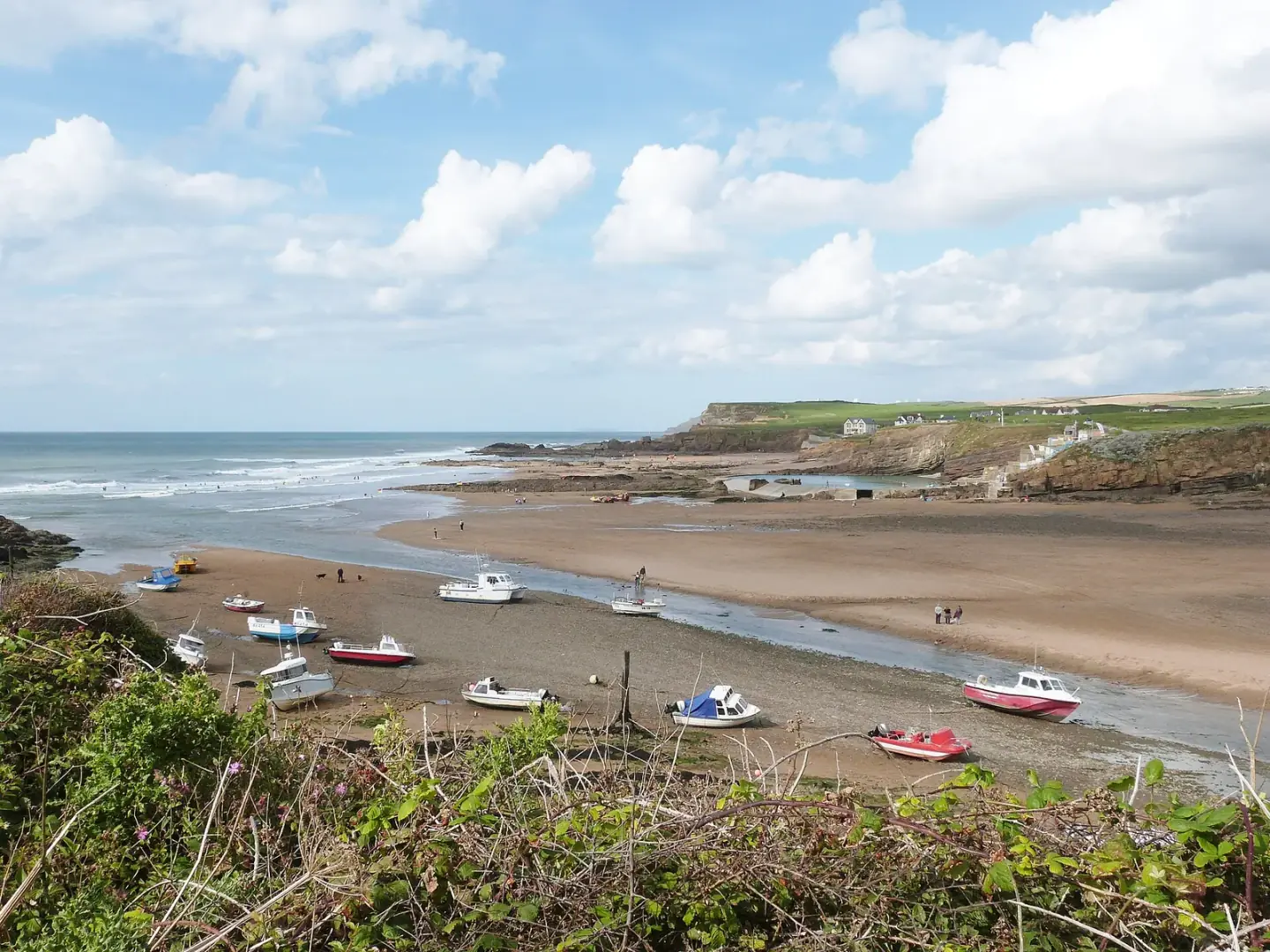
The tide is out at Bude Haven, and revealing Summerleaze Beach, near Bude
The tide is out at Bude Haven, and revealing Summerleaze Beach, near Bude. This photograph is used as a geographic witness to the place, not as evidence of the historical date shown in the chapter.
- Visual description
- The tide is out at Bude Haven, and revealing Summerleaze Beach, near Bude
- Nature
- original
- Medium
- Open-licence photograph
- Source
- Wikimedia Commons / Geograph · CC BY-SA 2.0
- Reviewed
- Josh Wildman
1930
A pool made Atlantic water more accessible
Bude Sea Pool opened in 1930, creating a place for tidal swimming beside a surf beach.
Surfing later added a second way to use the same water, with the river mouth and breakwater producing conditions distinct from nearby open beaches.
Sources for this chapter
THE LIVING MAP
The mapped place
Bude Summerleaze is recorded at 50.831° N, 4.551° W. A surf map fixes a name to one stretch of moving water, but the place changes with tide, swell direction, wind and the shape of the seabed.
Sources for this chapter
Open ledger · AOD.UK.BUDE-SUMMERLEAZE.V00 · ORIGINALClose ledger · AOD.UK.BUDE-SUMMERLEAZE.V00
Ledger AOD.UK.BUDE-SUMMERLEAZE.V00
View from Chapel Rock over Summerleaze Beach and Bude Haven,
View from Chapel Rock over Summerleaze Beach and Bude Haven,. This photograph is used as a geographic witness to the place, not as evidence of the historical date shown in the chapter.
- Visual description
- View from Chapel Rock over Summerleaze Beach and Bude Haven,
- Nature
- original
- Medium
- Open-licence photograph
- Source
- Wikimedia Commons / Geograph · CC BY-SA 2.0
- Reviewed
- Josh Wildman
TODAY
A town beach still shaped by moving sand
Summerleaze now combines surfing, swimming, fishing boats and the canal within a short walk of Bude.
Its future is not static: the council is managing wind-blown sand, ageing harbour structures and a naturally mobile coast.
Sources for this chapter
THE LEDGER
Sources and credits
This exhibition is built from local, institutional and sporting records. The source ledger keeps the claims visible and leaves space for correction as further local evidence emerges.
Sources for this chapter
Artefacts in order of appearance
View from Chapel Rock over Summerleaze Beach and Bude Haven,
AOD.UK.BUDE-SUMMERLEAZE.V00 · original · Wikimedia Commons / Geograph · CC BY-SA 2.0
The tide is out at Bude Haven, and revealing Summerleaze Beach, near Bude
AOD.UK.BUDE-SUMMERLEAZE.V01 · original · Wikimedia Commons / Geograph · CC BY-SA 2.0
Editorial record
Full UK edition. Historical claims are linked to the local, public and sporting records used to write the exhibition. Cartography is generated from the PeakWave location catalogue.